486 Wildcat Rd Buchanan, GA 30113
Estimated Value: $176,000 - $295,000
3
Beds
2
Baths
1,848
Sq Ft
$124/Sq Ft
Est. Value
About This Home
This home is located at 486 Wildcat Rd, Buchanan, GA 30113 and is currently estimated at $229,737, approximately $124 per square foot. 486 Wildcat Rd is a home located in Haralson County with nearby schools including Haralson County High School.
Ownership History
Date
Name
Owned For
Owner Type
Purchase Details
Closed on
Jan 25, 2006
Sold by
Robinson Linda A
Bought by
Robinson Jeffrey C
Current Estimated Value
Purchase Details
Closed on
Apr 30, 1996
Sold by
Robinson Cecil
Bought by
Robinson Linda
Purchase Details
Closed on
Jan 1, 1996
Sold by
Robinson Cecil
Bought by
Robinson Linda
Purchase Details
Closed on
Nov 6, 1993
Sold by
Holcombe Betty
Bought by
Robinson Cecil
Purchase Details
Closed on
Nov 4, 1993
Sold by
Holcombe Vel and Holcombe B
Bought by
Holcombe Betty
Create a Home Valuation Report for This Property
The Home Valuation Report is an in-depth analysis detailing your home's value as well as a comparison with similar homes in the area
Home Values in the Area
Average Home Value in this Area
Purchase History
| Date | Buyer | Sale Price | Title Company |
|---|---|---|---|
| Robinson Jeffrey C | -- | -- | |
| Robinson Jeffrey C | -- | -- | |
| Robinson Jeffrey C | $74,915 | -- | |
| Robinson Linda | -- | -- | |
| Robinson Linda | -- | -- | |
| Robinson Cecil | $35,000 | -- | |
| Holcombe Betty | -- | -- |
Source: Public Records
Tax History Compared to Growth
Tax History
| Year | Tax Paid | Tax Assessment Tax Assessment Total Assessment is a certain percentage of the fair market value that is determined by local assessors to be the total taxable value of land and additions on the property. | Land | Improvement |
|---|---|---|---|---|
| 2024 | $786 | $30,309 | $7,477 | $22,832 |
| 2023 | $678 | $26,144 | $14,506 | $11,638 |
| 2022 | $701 | $26,144 | $14,506 | $11,638 |
| 2021 | $729 | $26,084 | $14,506 | $11,578 |
| 2020 | $737 | $26,281 | $14,506 | $11,775 |
| 2019 | $773 | $26,526 | $14,506 | $12,020 |
| 2018 | $731 | $26,724 | $14,506 | $12,218 |
| 2017 | $812 | $26,965 | $14,506 | $12,459 |
| 2016 | $759 | $26,767 | $14,070 | $12,697 |
| 2015 | $772 | $27,181 | $14,070 | $13,112 |
| 2014 | $767 | $27,419 | $14,070 | $13,349 |
Source: Public Records
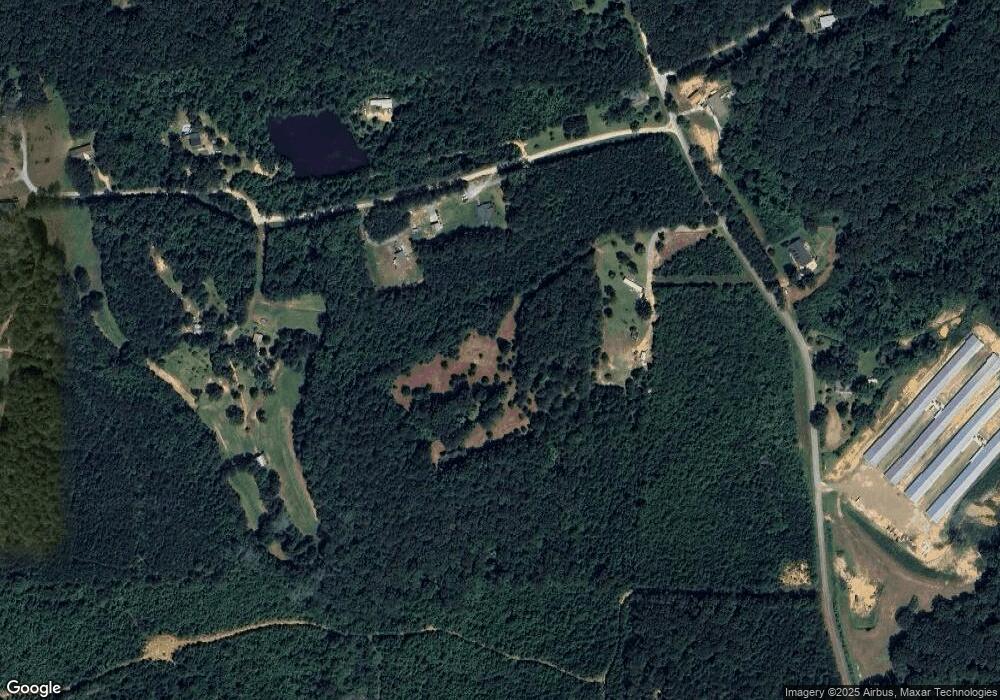
Map
Nearby Homes
- 0 Susie Pope Rd Unit 10499156
- 0 Susie Pope Rd Unit 10399491
- 402 Wildcat Rd
- 661 Wildcat Rd
- 6934 Georgia 100
- Tract3 Georgia Highway 100
- 7780 Georgia Highway 100
- 00001 Haralson County Scenic Byway
- 7711 Highway 100
- 0 Hagood Rd Unit 10506449
- 0 Hagood Rd Unit 5670400
- 0 Cross Roads Church Rd Unit 7629947
- 0 Cross Roads Church Rd Unit 10580810
- 0 Bethlehem Church Rd Unit 7655973
- 0 Bethlehem Church Rd Unit 7645984
- 0 Carnes Rd Unit 147233
- 0 W Us Hwy 78 Unit 147720
- 00 Us Hwy 78
- 0 Highway 78 E Unit 10511524
- 1200 Roy Brown Rd
- 64 Surrett Rd
- 0 Surrett Rd Unit 7183318
- 0 Surrett Rd
- 138 Surrett Rd
- 390 Wildcat Rd
- 425 Wildcat Rd
- 435 Wildcat Rd
- 35 Surrett Rd
- 159 Surrett Rd
- 286 Wildcat Rd
- 515 Wildcat Rd
- 0 Susie Pope Rd Unit 7229566
- 0 Duncan Rd Unit 7452853
- 0 Duncan Rd Unit 7572533
- 0 Duncan Rd Unit 8040622
- 0 Susie Pope Rd Unit 5257323
- 0 Duncan Rd Unit 5334634
- 0 Duncan Rd Unit 5538392
- 0 Duncan Rd Unit 5634848
- 0 Susie Pope Rd Unit (TRACT II) 10338788