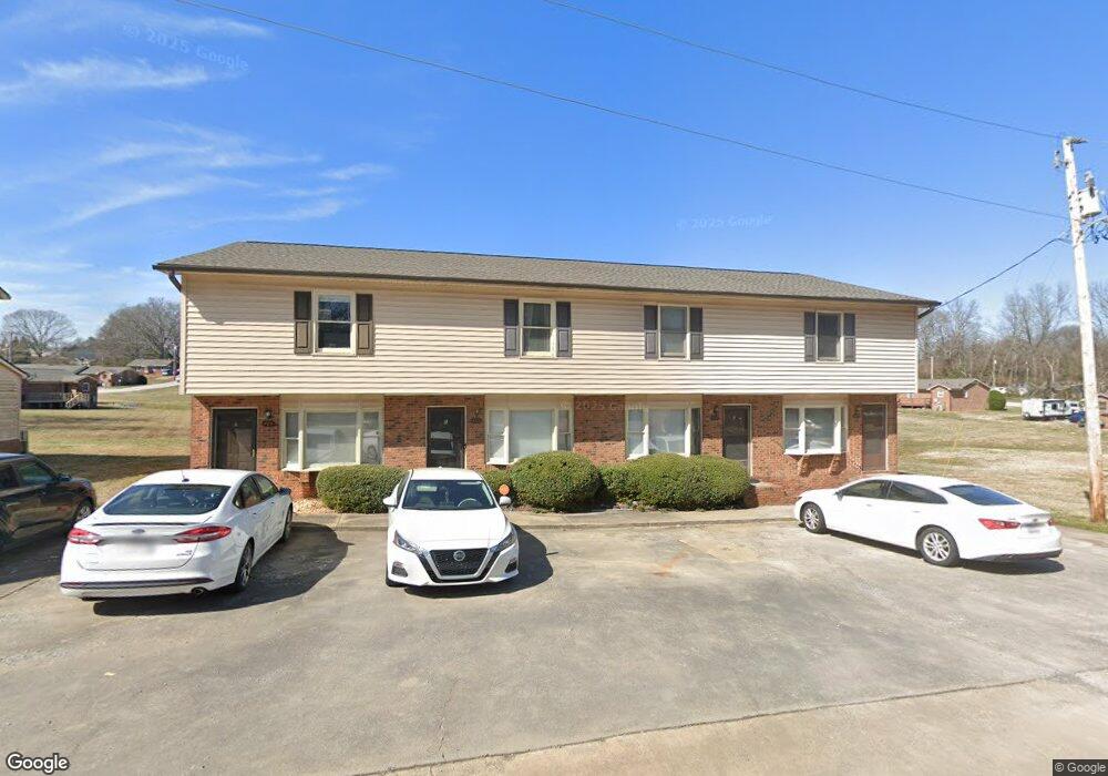
486 Willowspring Ln Unit 486 D Rock Hill, SC 29730
Estimated Value: $55,989 - $265,000
2
Beds
2
Baths
1,040
Sq Ft
$144/Sq Ft
Est. Value
About This Home
This home is located at 486 Willowspring Ln Unit 486 D, Rock Hill, SC 29730 and is currently estimated at $149,997, approximately $144 per square foot. 486 Willowspring Ln Unit 486 D is a home located in York County with nearby schools including Castle Heights Middle School, Northwestern High School, and St. Anne Catholic School.
Ownership History
Date
Name
Owned For
Owner Type
Purchase Details
Closed on
Jan 28, 2022
Sold by
Willow Investments Sc Llc
Bought by
Newton George T and Newton Tara L
Current Estimated Value
Purchase Details
Closed on
Oct 6, 2020
Sold by
Timothy Newton George
Bought by
Willow Investments Sc Llc
Purchase Details
Closed on
Oct 16, 2015
Sold by
Taylor Larry P and Taylor Stephanie G
Bought by
Newton George T and Newton Tara L
Purchase Details
Closed on
Sep 30, 2005
Sold by
Allen William Paul
Bought by
Taylor Larry P and Taylor Stephanie G
Create a Home Valuation Report for This Property
The Home Valuation Report is an in-depth analysis detailing your home's value as well as a comparison with similar homes in the area
Home Values in the Area
Average Home Value in this Area
Purchase History
| Date | Buyer | Sale Price | Title Company |
|---|---|---|---|
| Newton George T | -- | None Listed On Document | |
| Newton George T | -- | None Listed On Document | |
| Willow Investments Sc Llc | -- | Steltzner Donavan M | |
| Newton George T | $30,000 | -- | |
| Taylor Larry P | $112,500 | -- |
Source: Public Records
Tax History Compared to Growth
Tax History
| Year | Tax Paid | Tax Assessment Tax Assessment Total Assessment is a certain percentage of the fair market value that is determined by local assessors to be the total taxable value of land and additions on the property. | Land | Improvement |
|---|---|---|---|---|
| 2024 | $1,750 | $3,955 | $0 | $3,955 |
| 2023 | $1,753 | $3,955 | $0 | $3,955 |
| 2022 | $1,238 | $2,932 | $0 | $2,932 |
| 2021 | -- | $2,932 | $0 | $2,932 |
| 2020 | $843 | $2,036 | $0 | $0 |
| 2019 | $751 | $1,770 | $0 | $0 |
| 2018 | $740 | $1,770 | $0 | $0 |
| 2017 | $715 | $1,770 | $0 | $0 |
| 2016 | $700 | $1,770 | $0 | $0 |
| 2014 | $899 | $1,860 | $0 | $1,860 |
| 2013 | $899 | $2,370 | $0 | $2,370 |
Source: Public Records
Map
Nearby Homes
- 484 Willowspring Ln Unit B
- 484 Willowspring Ln Unit A
- 462 Kimbrell St Unit 5
- 430 Stoneycreek Ln
- 315 High St
- 304 N Jones Ave
- 1066 Tremont Ave
- 1032 Barrow Ct
- 929 Willowbrook Ave
- 620 3rd St
- 621 Cauthen St
- 1033 Christopher Cir Unit 15
- 744 Cauthen St
- 1233 Pinewood Rd
- 644 Annafrel St
- 659 Annafrel St
- 210 Marshall St
- 215 Keels Ave
- 1447 Sullivan St
- 630 N Confederate Ave
- 486 Willowspring Ln Unit 486 C
- 486 Willowspring Ln Unit 486 B
- 486 Willowspring Ln Unit D
- 486 Willowspring Ln Unit B
- 486 Willowspring Ln Unit C
- 486 Willowspring Ln
- 488 Willowspring Ln Unit 38
- 481 Willowspring Ln
- 483 Willowspring Ln
- 479 Willowspring Ln
- 490 Willowspring Ln
- 475 Willowspring Ln Unit 43
- 489 Willowspring Ln Unit 33
- 489 Willowspring Ln Unit 34
- 480 Willowspring Ln Unit 47
- 446 Willowspring Ln
- 448 Willowspring Ln
- 444 Willowspring Ln
- 478 Willowspring Ln
- 449 Cummings St