4860 Dargate Ln Murrysville, PA 15668
Estimated Value: $311,260 - $846,000
--
Bed
--
Bath
3,374
Sq Ft
$195/Sq Ft
Est. Value
About This Home
This home is located at 4860 Dargate Ln, Murrysville, PA 15668 and is currently estimated at $656,420, approximately $194 per square foot. 4860 Dargate Ln is a home located in Westmoreland County with nearby schools including Franklin Regional Senior High School.
Create a Home Valuation Report for This Property
The Home Valuation Report is an in-depth analysis detailing your home's value as well as a comparison with similar homes in the area
Home Values in the Area
Average Home Value in this Area
Tax History Compared to Growth
Tax History
| Year | Tax Paid | Tax Assessment Tax Assessment Total Assessment is a certain percentage of the fair market value that is determined by local assessors to be the total taxable value of land and additions on the property. | Land | Improvement |
|---|---|---|---|---|
| 2025 | $11,362 | $74,560 | $3,400 | $71,160 |
| 2024 | $11,101 | $74,560 | $3,400 | $71,160 |
| 2023 | $10,431 | $74,560 | $3,400 | $71,160 |
| 2022 | $10,226 | $74,560 | $3,400 | $71,160 |
| 2021 | $10,001 | $74,560 | $3,400 | $71,160 |
| 2020 | $9,812 | $74,560 | $3,400 | $71,160 |
| 2019 | $9,611 | $74,560 | $3,400 | $71,160 |
| 2018 | $9,444 | $74,560 | $3,400 | $71,160 |
| 2017 | $9,248 | $74,560 | $3,400 | $71,160 |
| 2016 | $9,063 | $74,560 | $3,400 | $71,160 |
| 2015 | $9,063 | $74,560 | $3,400 | $71,160 |
| 2014 | $9,001 | $74,560 | $3,400 | $71,160 |
Source: Public Records
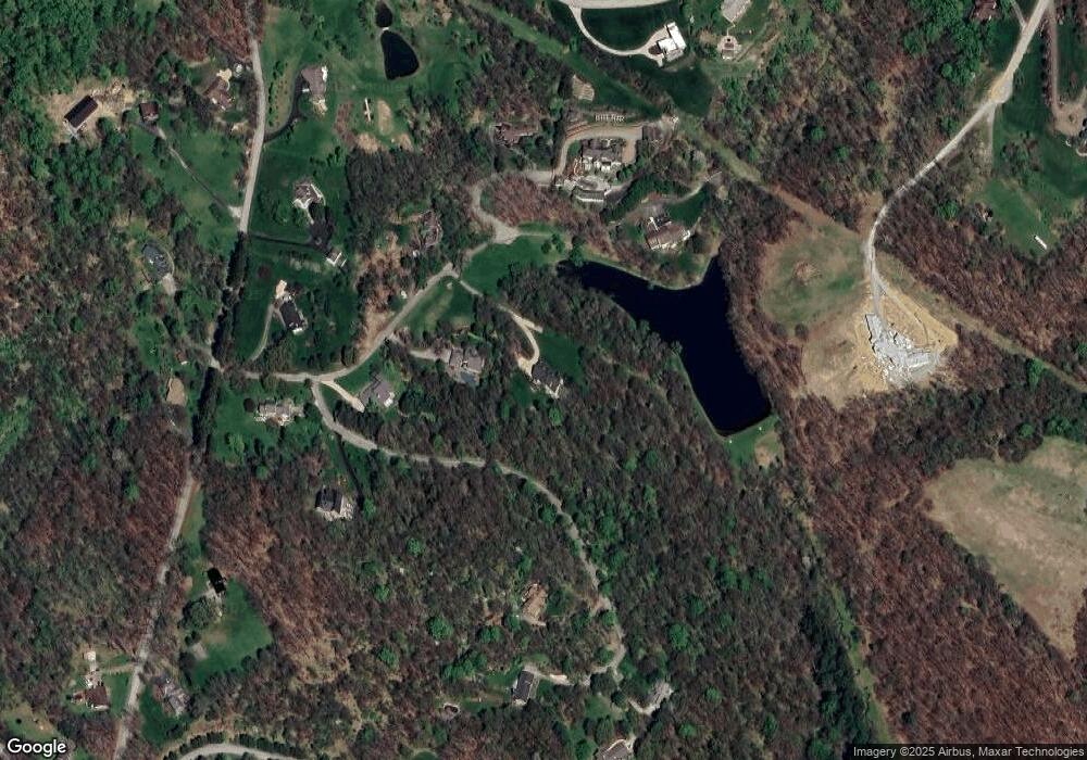
Map
Nearby Homes
- 4830 Dargate Ln
- 3513 Lashan Dr
- 3424 Lashan Dr
- 4306 Michel Ct
- 3913 Bridgewood Cir
- 5150 Mamont Rd
- 4838 Sardis Rd
- Lot 4 Shag Bark Grove
- 4400 Twin Oaks Dr
- 4974 Longview Ct
- 4941 Bulltown Rd
- Lot 1 Sardis Rd
- Lot 2 Sardis Rd
- 4201 Bulltown Rd
- Lot 1 Shag Bark Grove Mamont Rd
- Lot 3 Shag Bark Grove Mamont Rd
- Lot 5 Acres Ct
- 4309 Bulltown Rd
- 4610 Bulltown Rd
- 278 Ridge Ln
- 4735 Spring Ridge Ln
- 4730 Spring Ridge Ln
- 4750 Spring Ridge Ln
- 4745 Spring Ridge Ln
- 2412 Oak Hurst Ct
- 4881 Dargate Ln
- 4740 Spring Ridge Ln
- 4820 Dargate Ln
- 2413 Oak Hurst Ct
- 0 Dargate Ln
- 1 Dargate Ln
- 4845 Deer Hollow Ln
- 4821 Dargate Ln
- 4720 Spring Ridge Ln
- 2411 Oak Hurst Ct
- 1201 Twelve Oaks Ct
- 2410 Oak Hurst Ct
- 2410 Oak Hurst Ct
- 4841 Deer Hollow Ln
- 4810 Dargate Ln