4862 Brannan Dr E Springfield, OH 45502
Estimated Value: $181,061 - $210,000
2
Beds
2
Baths
1,252
Sq Ft
$155/Sq Ft
Est. Value
About This Home
This home is located at 4862 Brannan Dr E, Springfield, OH 45502 and is currently estimated at $193,515, approximately $154 per square foot. 4862 Brannan Dr E is a home located in Clark County with nearby schools including Northridge Elementary School, Kenton Ridge Middle & High School, and Emmanuel Christian Academy.
Ownership History
Date
Name
Owned For
Owner Type
Purchase Details
Closed on
Aug 9, 2023
Sold by
Helton Brenda
Bought by
Readler Heidi
Current Estimated Value
Purchase Details
Closed on
Aug 28, 2018
Sold by
Williams Jill and Estate Of Patricia R Williams
Bought by
Helton Brenda
Purchase Details
Closed on
Dec 1, 1995
Sold by
George D Antrim Est
Bought by
Patricia R Williams
Create a Home Valuation Report for This Property
The Home Valuation Report is an in-depth analysis detailing your home's value as well as a comparison with similar homes in the area
Home Values in the Area
Average Home Value in this Area
Purchase History
| Date | Buyer | Sale Price | Title Company |
|---|---|---|---|
| Readler Heidi | $165,000 | Team Title & Closing Services | |
| Helton Brenda | $94,000 | None Available | |
| Patricia R Williams | $73,000 | -- |
Source: Public Records
Tax History
| Year | Tax Paid | Tax Assessment Tax Assessment Total Assessment is a certain percentage of the fair market value that is determined by local assessors to be the total taxable value of land and additions on the property. | Land | Improvement |
|---|---|---|---|---|
| 2025 | $1,489 | $56,310 | $7,050 | $49,260 |
| 2024 | $1,022 | $33,330 | $6,130 | $27,200 |
| 2023 | $1,022 | $33,330 | $6,130 | $27,200 |
| 2022 | $1,043 | $33,330 | $6,130 | $27,200 |
| 2021 | $1,215 | $32,950 | $4,380 | $28,570 |
| 2020 | $1,216 | $32,950 | $4,380 | $28,570 |
| 2019 | $1,686 | $32,950 | $4,380 | $28,570 |
| 2018 | $1,055 | $28,530 | $4,990 | $23,540 |
| 2017 | $904 | $27,000 | $4,988 | $22,012 |
| 2016 | $898 | $27,000 | $4,988 | $22,012 |
| 2015 | $837 | $27,262 | $5,250 | $22,012 |
| 2014 | $837 | $27,262 | $5,250 | $22,012 |
| 2013 | $818 | $27,262 | $5,250 | $22,012 |
Source: Public Records
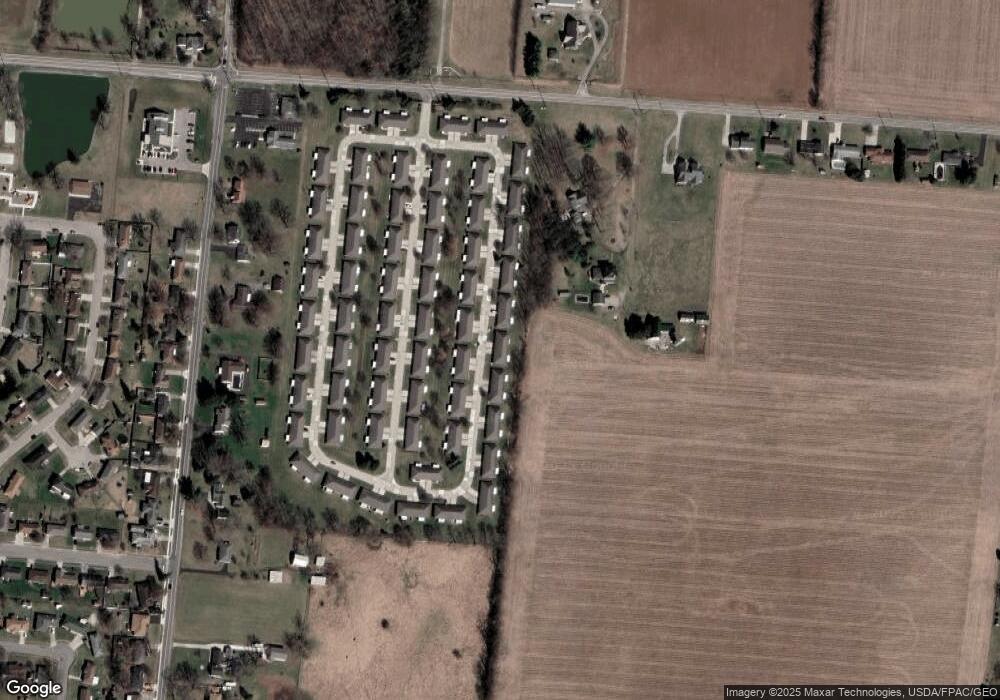
Map
Nearby Homes
- 4890 Brannan Dr W Unit 4890
- 4732 Lehigh Dr
- 4652 Reno Ln Unit 15
- 4500 Bosart Rd
- 4577 Reno Ln Unit 2
- 5033 Ridgewood Rd E
- 1521 Erika Dr
- 4446 Ridgewood Rd E Unit 3
- 1977 Willoughby Ave
- 5564 Ridgewood Rd E Unit 7
- 4322 Midfield St Unit 15
- 5235 W Ridgewood Rd
- 4802 Willowbrook Dr
- 1495 Victorian Way
- 4256 Midfield St Unit 9
- 1341 Student Ave
- 1644 Delmar Dr
- 4028 Ryland Dr Unit 4028
- 5564 Ridgewood Rd W
- 4741 Cullen Ave
- 4862 Brannan Dr E
- 4864 Brannan Dr E Unit 4864
- 4852 Brannan Dr E Unit 4852
- 4851 Brannan Dr E Unit 4851
- 4850 Brannan Dr E Unit 4850
- 4874 Brannan Dr E
- 4849 Brannan Dr E
- 4861 Brannan Dr E
- 4863 Brannan Dr E Unit 4863
- 4876 Brannan Dr E Unit 4876
- 4839 Brannan Dr E
- 4840 Brannan Dr E
- 4837 Brannan Dr E
- 4873 Brannan Dr E
- 4838 Brannan Dr E Unit 4838
- 4838 Brannan Dr E
- 4838 Brannan Dr E
- 4886 Brannan Dr W
- 4886 Brannan Dr E Unit 4886
- 4860 Auston St
Your Personal Tour Guide
Ask me questions while you tour the home.