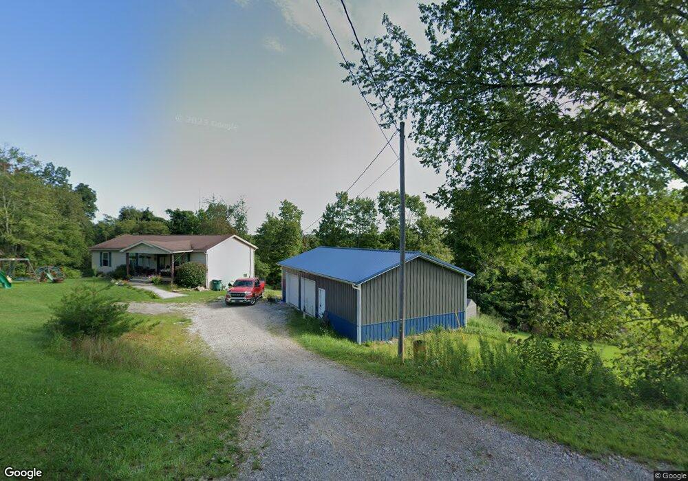
4865 Veto Rd Vincent, OH 45784
Estimated Value: $245,172 - $303,000
3
Beds
1
Bath
1,344
Sq Ft
$200/Sq Ft
Est. Value
About This Home
This home is located at 4865 Veto Rd, Vincent, OH 45784 and is currently estimated at $268,793, approximately $199 per square foot. 4865 Veto Rd is a home with nearby schools including Warren High School.
Ownership History
Date
Name
Owned For
Owner Type
Purchase Details
Closed on
Sep 19, 2012
Sold by
Goudy Rex A and Goudy Zachary M
Bought by
Freeland Aaron C
Current Estimated Value
Home Financials for this Owner
Home Financials are based on the most recent Mortgage that was taken out on this home.
Original Mortgage
$122,448
Outstanding Balance
$84,809
Interest Rate
3.59%
Mortgage Type
New Conventional
Estimated Equity
$183,984
Purchase Details
Closed on
Jun 2, 2011
Sold by
Bonar Dustin P and Bonar Dustin Paul
Bought by
The Bartlett Farmers Bank
Create a Home Valuation Report for This Property
The Home Valuation Report is an in-depth analysis detailing your home's value as well as a comparison with similar homes in the area
Purchase History
| Date | Buyer | Sale Price | Title Company |
|---|---|---|---|
| Freeland Aaron C | $120,000 | Attorney | |
| The Bartlett Farmers Bank | $42,000 | None Available |
Source: Public Records
Mortgage History
| Date | Status | Borrower | Loan Amount |
|---|---|---|---|
| Open | Freeland Aaron C | $122,448 |
Source: Public Records
Tax History
| Year | Tax Paid | Tax Assessment Tax Assessment Total Assessment is a certain percentage of the fair market value that is determined by local assessors to be the total taxable value of land and additions on the property. | Land | Improvement |
|---|---|---|---|---|
| 2024 | $3,865 | $71,560 | $8,090 | $63,470 |
| 2023 | $2,982 | $71,560 | $8,090 | $63,470 |
| 2022 | $2,969 | $71,560 | $8,090 | $63,470 |
| 2021 | $2,712 | $62,040 | $6,210 | $55,830 |
| 2020 | $2,548 | $62,040 | $6,210 | $55,830 |
| 2019 | $2,513 | $62,040 | $6,210 | $55,830 |
| 2018 | $2,330 | $55,710 | $5,170 | $50,540 |
| 2017 | $2,053 | $49,330 | $5,170 | $44,160 |
| 2016 | $2,531 | $49,330 | $5,170 | $44,160 |
| 2015 | $1,578 | $41,830 | $4,990 | $36,840 |
| 2014 | $2,170 | $41,830 | $4,990 | $36,840 |
| 2013 | $1,456 | $41,830 | $4,990 | $36,840 |
Source: Public Records
Map
Nearby Homes
- 265 James Ln
- 1556 Mcgill Rd
- 1015 Brackenridge Rd
- 232 Mcgill Rd
- 6570 State Route 339
- 2207 Veto Rd
- 111 T322
- 0 Layman Rd Unit 25046006
- 631 Short Brook Rd
- 8030 State Route 339
- 234 Woodlawn Ave
- 80 Hannah Place Rd
- 2620 Burnett Rd
- 852 Wallace Rd
- 2425 Rocky Point Rd
- 10270 Ohio 550
- 240 Hollywood Dr
- 155 Ridgewood Blvd
- 0 T1309
- 195 N Bruce St
Your Personal Tour Guide
Ask me questions while you tour the home.