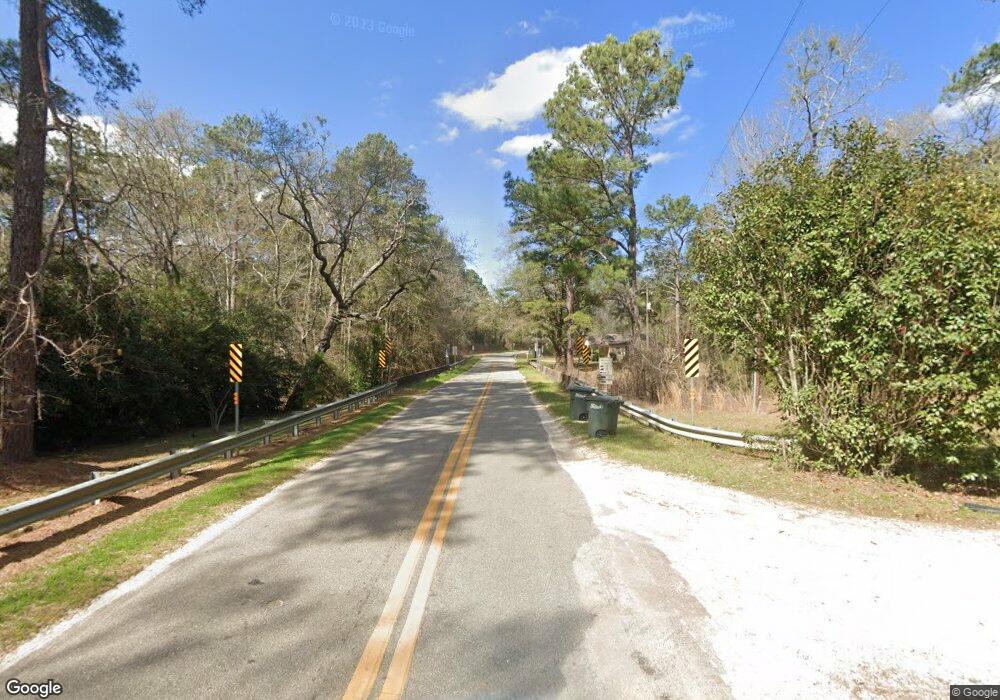
4866 Dixie Barwick Rd Boston, GA 31626
Estimated Value: $82,731 - $634,000
--
Bed
1
Bath
1,213
Sq Ft
$223/Sq Ft
Est. Value
About This Home
This home is located at 4866 Dixie Barwick Rd, Boston, GA 31626 and is currently estimated at $269,910, approximately $222 per square foot. 4866 Dixie Barwick Rd is a home located in Brooks County with nearby schools including Quitman Elementary School.
Ownership History
Date
Name
Owned For
Owner Type
Purchase Details
Closed on
Mar 22, 2017
Sold by
Blanchard Sherry
Bought by
Strickland Brenda Causey
Current Estimated Value
Purchase Details
Closed on
Sep 23, 2014
Sold by
Strickland Edgar W
Bought by
Blanchard Sherry and Williams Ashley B
Purchase Details
Closed on
Dec 13, 2004
Sold by
Tinsley Leo
Bought by
Tinsley Blanche H
Purchase Details
Closed on
Oct 5, 1999
Sold by
Garbett Franklin
Bought by
Tinsley Leo
Purchase Details
Closed on
May 22, 1997
Sold by
Evergreen Baptist Church
Bought by
Garbett Franklin
Purchase Details
Closed on
Nov 2, 1984
Bought by
Evergreen Baptist Church
Create a Home Valuation Report for This Property
The Home Valuation Report is an in-depth analysis detailing your home's value as well as a comparison with similar homes in the area
Home Values in the Area
Average Home Value in this Area
Purchase History
| Date | Buyer | Sale Price | Title Company |
|---|---|---|---|
| Strickland Brenda Causey | -- | -- | |
| Causey Brenda | -- | -- | |
| Blanchard Sherry | -- | -- | |
| Tinsley Blanche H | -- | -- | |
| Tinsley Leo | -- | -- | |
| Garbett Franklin | $16,500 | -- | |
| Evergreen Baptist Church | -- | -- |
Source: Public Records
Tax History Compared to Growth
Tax History
| Year | Tax Paid | Tax Assessment Tax Assessment Total Assessment is a certain percentage of the fair market value that is determined by local assessors to be the total taxable value of land and additions on the property. | Land | Improvement |
|---|---|---|---|---|
| 2024 | $927 | $24,792 | $8,560 | $16,232 |
| 2023 | $400 | $22,112 | $7,880 | $14,232 |
| 2022 | $800 | $18,232 | $7,520 | $10,712 |
| 2021 | $709 | $16,752 | $7,360 | $9,392 |
| 2020 | $469 | $16,872 | $7,360 | $9,512 |
| 2019 | $672 | $16,632 | $7,520 | $9,112 |
| 2018 | $479 | $16,392 | $7,280 | $9,112 |
| 2017 | $696 | $15,952 | $7,280 | $8,672 |
| 2016 | $324 | $16,192 | $7,280 | $8,912 |
| 2015 | -- | $16,112 | $7,280 | $8,832 |
| 2014 | -- | $16,112 | $7,280 | $8,832 |
| 2013 | -- | $16,112 | $7,280 | $8,832 |
Source: Public Records
Map
Nearby Homes
- 431 Dry Lake Rd
- 9900 Ozell Rd
- 2818 Dry Lake Rd
- 0 Spencer Rd
- 185 Community Ln
- 7402 Coffee Rd
- 682 Salem Rd
- 1038-BA Church St
- 130 E Adams St
- 5199 U S 84
- 146 Old Highway 84 W
- 2156 County Road 78
- 1136 Nesbitt Rd
- 4311 Ozell Rd
- 7921 Five Forks Rd
- 813 Vonier Road (6 Acres)
- 13876 Ga Highway 122
- 8820 Grooverville Rd
- 110 Nicole Britt Dr
- 101 Bailey Cir
- 4866 Dixie Barwick Rd
- 4862 Dixie Barwick Rd
- 792 Boles Rd
- 4631 Dixie Barwick Rd
- 5460 Dixie Barwick Rd
- 926 Oaklawn Rd
- 105 Hutchinson Rd
- 5592 Dixie Barwick Rd
- 5595 Dixie Barwick Rd
- 326 Boles Rd
- 4080 Dixie Barwick Rd
- 1236 Dry Lake Rd
- 1062 Dry Lake Rd
- 1467 Dry Lake Rd
- 5703 Dixie Barwick Rd
- 00 Dixie-Barwick Rd
- 0000 Dixie-Barwick Rd
- 885 Hutchinson Rd
- 600 Dry Lake Rd
- 15 Christian Dr
