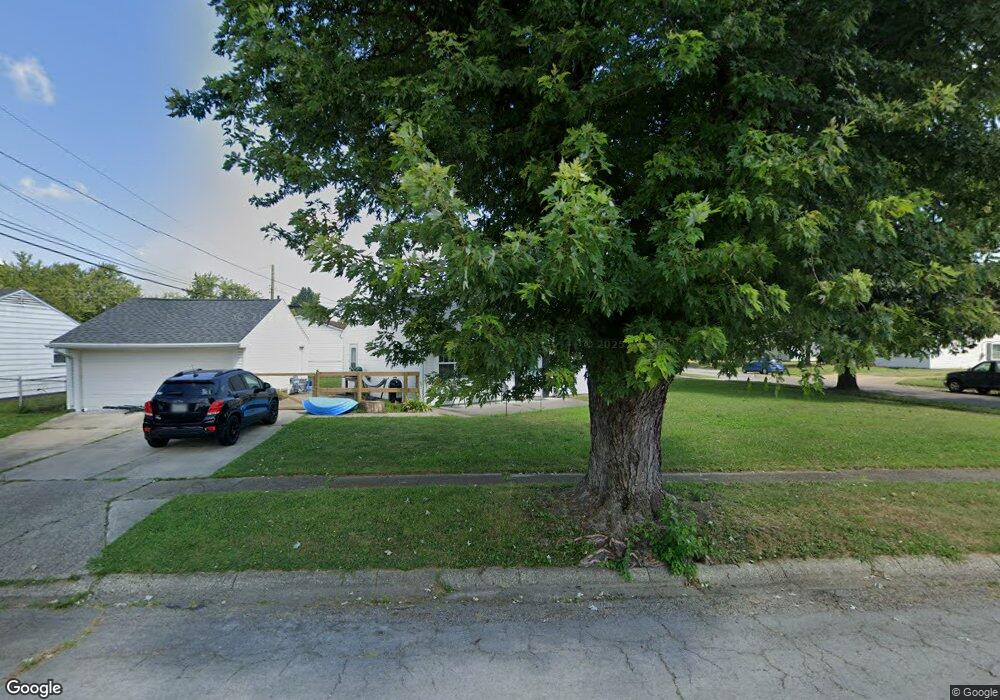
4867 Barnhart Ave Dayton, OH 45432
Eastmont NeighborhoodEstimated Value: $105,000 - $168,000
3
Beds
1
Bath
1,008
Sq Ft
$141/Sq Ft
Est. Value
About This Home
This home is located at 4867 Barnhart Ave, Dayton, OH 45432 and is currently estimated at $142,607, approximately $141 per square foot. 4867 Barnhart Ave is a home located in Montgomery County with nearby schools including Eastmont Elementary, Cleveland Elementary School, and Horace Mann Elementary School.
Ownership History
Date
Name
Owned For
Owner Type
Purchase Details
Closed on
Jan 27, 2025
Sold by
Mr Rents Llc
Bought by
Knox David and Knox Lynn
Current Estimated Value
Purchase Details
Closed on
Jun 3, 2021
Sold by
Mahoney Michael and Estate Of Charles Mahoney
Bought by
Mr Rents Llc
Purchase Details
Closed on
Feb 20, 2011
Sold by
Mahoney Charles and Mahoney Darlene K
Bought by
Mahoney Michael S
Create a Home Valuation Report for This Property
The Home Valuation Report is an in-depth analysis detailing your home's value as well as a comparison with similar homes in the area
Home Values in the Area
Average Home Value in this Area
Purchase History
| Date | Buyer | Sale Price | Title Company |
|---|---|---|---|
| Knox David | $60,000 | Landmark Title | |
| Mr Rents Llc | $60,000 | Landmark Ttl Agcy South Inc | |
| Mahoney Michael S | -- | None Available |
Source: Public Records
Tax History Compared to Growth
Tax History
| Year | Tax Paid | Tax Assessment Tax Assessment Total Assessment is a certain percentage of the fair market value that is determined by local assessors to be the total taxable value of land and additions on the property. | Land | Improvement |
|---|---|---|---|---|
| 2024 | $2,110 | $37,600 | $10,520 | $27,080 |
| 2023 | $2,110 | $37,600 | $10,520 | $27,080 |
| 2022 | $1,753 | $24,110 | $6,740 | $17,370 |
| 2021 | $1,743 | $24,110 | $6,740 | $17,370 |
| 2020 | $1,117 | $24,110 | $6,740 | $17,370 |
| 2019 | $1,153 | $22,930 | $6,740 | $16,190 |
| 2018 | $1,155 | $22,930 | $6,740 | $16,190 |
| 2017 | $1,146 | $22,930 | $6,740 | $16,190 |
| 2016 | $1,071 | $21,310 | $6,740 | $14,570 |
| 2015 | $1,014 | $21,310 | $6,740 | $14,570 |
| 2014 | $1,014 | $21,310 | $6,740 | $14,570 |
| 2012 | -- | $20,790 | $6,860 | $13,930 |
Source: Public Records
Map
Nearby Homes
- 4869 Andes Dr
- 4733 Barnhart Ave
- 5042 Woodbine Ave
- 1592 Selkirk Rd
- 1568 Garwood Dr
- 4214 Blue Rock Rd
- 5302 Rawlings Dr
- 4515 Kingview Ave
- 1918 Russet Ave
- 4643 Amesborough Rd
- 5374 Rawlings Dr
- 4508 Varney Ave
- 4513 Woodbine Ave
- 4821 Eastgate Ave
- 4534 Woodcliffe Ave
- 4527 Amesborough Rd
- 4438 Woodbine Ave
- 4549 Amesborough Rd
- 1619 Townsley Rd
- 1327 Renslar Ave
- 1621 Pence Place
- 4857 Barnhart Ave
- 1615 Pence Place
- 4868 Barnhart Ave
- 4851 Barnhart Ave
- 1624 Pence Place
- 4856 Barnhart Ave
- 1630 Pence Place
- 1618 Pence Place
- 1636 Pence Place
- 4918 Woodbine Ave
- 4930 Woodbine Ave
- 4850 Barnhart Ave
- 1645 Pence Place
- 1612 Pence Place
- 4845 Barnhart Ave
- 4910 Woodbine Ave
- 1642 Pence Place
- 4844 Barnhart Ave
- 4940 Woodbine Ave