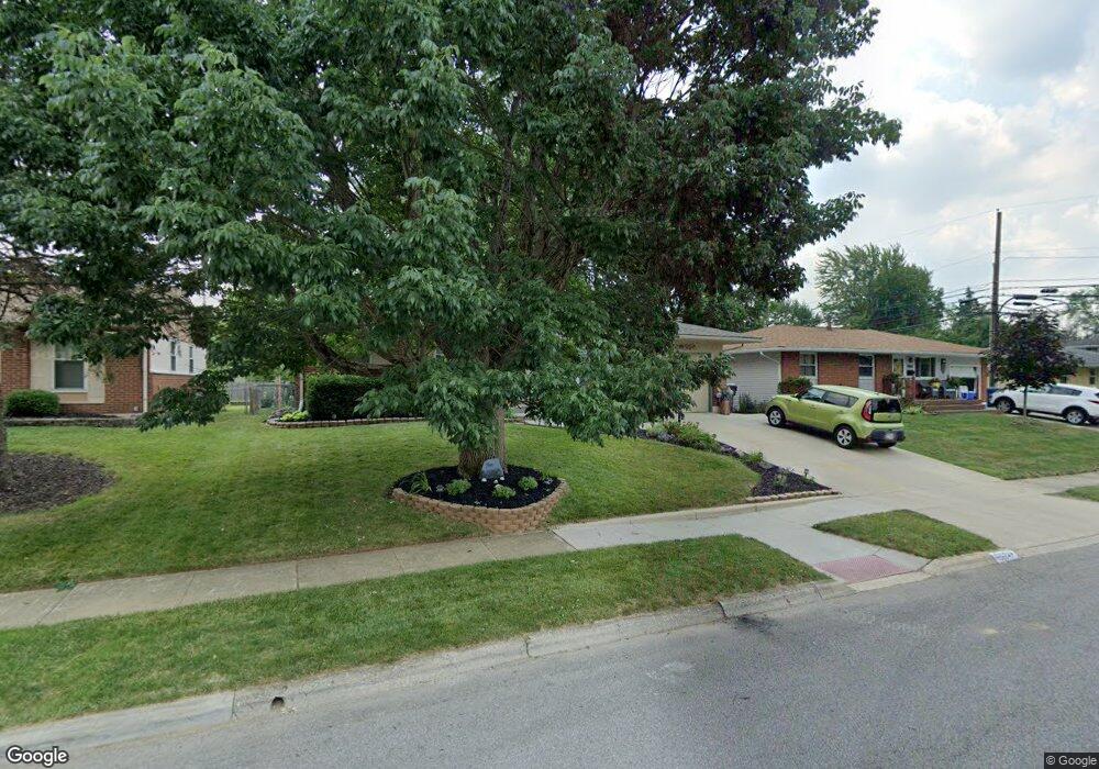
4868 Colonel Perry Dr Columbus, OH 43229
Woodward Park NeighborhoodEstimated Value: $218,000 - $295,000
4
Beds
2
Baths
1,176
Sq Ft
$214/Sq Ft
Est. Value
About This Home
This home is located at 4868 Colonel Perry Dr, Columbus, OH 43229 and is currently estimated at $251,715, approximately $214 per square foot. 4868 Colonel Perry Dr is a home located in Franklin County with nearby schools including Valley Forge Elementary School, Woodward Park Middle School, and Northland High School.
Ownership History
Date
Name
Owned For
Owner Type
Purchase Details
Closed on
Jul 11, 2000
Sold by
Overbaugh Leslie A and Overbaugh Leslie A
Bought by
Barley Jeffrey T and Barley Leslie A
Current Estimated Value
Home Financials for this Owner
Home Financials are based on the most recent Mortgage that was taken out on this home.
Original Mortgage
$94,000
Outstanding Balance
$32,453
Interest Rate
8.55%
Estimated Equity
$219,262
Purchase Details
Closed on
May 28, 1992
Bought by
Overbaugh Leslie A
Create a Home Valuation Report for This Property
The Home Valuation Report is an in-depth analysis detailing your home's value as well as a comparison with similar homes in the area
Home Values in the Area
Average Home Value in this Area
Purchase History
| Date | Buyer | Sale Price | Title Company |
|---|---|---|---|
| Barley Jeffrey T | -- | -- | |
| Overbaugh Leslie A | $77,000 | -- |
Source: Public Records
Mortgage History
| Date | Status | Borrower | Loan Amount |
|---|---|---|---|
| Open | Barley Jeffrey T | $94,000 |
Source: Public Records
Tax History
| Year | Tax Paid | Tax Assessment Tax Assessment Total Assessment is a certain percentage of the fair market value that is determined by local assessors to be the total taxable value of land and additions on the property. | Land | Improvement |
|---|---|---|---|---|
| 2025 | $3,381 | $75,330 | $21,740 | $53,590 |
| 2024 | $3,381 | $75,330 | $21,740 | $53,590 |
| 2023 | $3,338 | $75,320 | $21,735 | $53,585 |
| 2022 | $2,209 | $42,600 | $11,450 | $31,150 |
| 2021 | $2,213 | $42,600 | $11,450 | $31,150 |
| 2020 | $2,215 | $42,570 | $11,450 | $31,120 |
| 2019 | $2,100 | $34,620 | $9,170 | $25,450 |
| 2018 | $1,990 | $34,620 | $9,170 | $25,450 |
| 2017 | $2,099 | $34,620 | $9,170 | $25,450 |
| 2016 | $2,075 | $31,330 | $8,510 | $22,820 |
| 2015 | $1,884 | $31,330 | $8,510 | $22,820 |
| 2014 | $1,889 | $31,330 | $8,510 | $22,820 |
| 2013 | $980 | $32,970 | $8,960 | $24,010 |
Source: Public Records
Map
Nearby Homes
- 4923 Karl Rd Unit 4925
- 4795 Colonel Perry Dr
- 4800 Bourke Rd
- 1485 Norma Rd
- 5004 Julie Place
- 5010 Julie Place
- 1685 Norma Rd
- 4852 Snowbird Cir Unit 13B
- 4857 Tamarack Blvd
- 4979 Lyle Rd
- 1905 Denise Dr
- 1116 Tulsa Dr
- 4714 Ascot Dr
- 5352 Hazelwood Rd
- 1638 Arrowood Loop N
- 1469 Sandalwood Place
- 1144 Reed Circle Dr
- 4735 Heatherton Dr
- 4885 Northtowne Blvd
- 5318 Eisenhower Rd
- 4874 Colonel Perry Dr
- 4860 Colonel Perry Dr
- 4882 Colonel Perry Dr
- 4859 Karl Rd
- 4867 Karl Rd
- 4851 Karl Rd
- 4861 Colonel Perry Dr
- 4843 Karl Rd
- 4844 Colonel Perry Dr
- 4890 Colonel Perry Dr
- 1506 Urban Dr
- 4835 Karl Rd
- 4851 Colonel Perry Dr
- 4891 Colonel Perry Dr
- 4836 Colonel Perry Dr
- 4900 Colonel Perry Dr
- 1491 Urban Dr
- 4843 Colonel Perry Dr
- 4901 Colonel Perry Dr
- 4827 Karl Rd
Your Personal Tour Guide
Ask me questions while you tour the home.