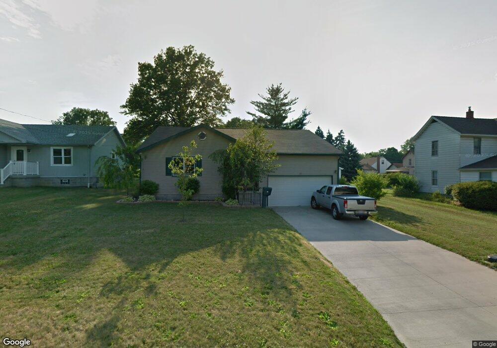
487 11th St Struthers, OH 44471
Estimated Value: $173,416 - $204,000
3
Beds
2
Baths
1,576
Sq Ft
$120/Sq Ft
Est. Value
About This Home
This home is located at 487 11th St, Struthers, OH 44471 and is currently estimated at $188,354, approximately $119 per square foot. 487 11th St is a home located in Mahoning County with nearby schools including Struthers Elementary School, Struthers Middle School, and Struthers High School.
Ownership History
Date
Name
Owned For
Owner Type
Purchase Details
Closed on
Sep 26, 2005
Sold by
Santiago Joseph L and Santiago Margarita M
Bought by
Guerrieri Ronald J and Guerrieri Andrea E
Current Estimated Value
Home Financials for this Owner
Home Financials are based on the most recent Mortgage that was taken out on this home.
Original Mortgage
$14,000
Outstanding Balance
$7,835
Interest Rate
7%
Mortgage Type
Fannie Mae Freddie Mac
Estimated Equity
$180,519
Purchase Details
Closed on
Dec 13, 1989
Bought by
Farrall Mary
Create a Home Valuation Report for This Property
The Home Valuation Report is an in-depth analysis detailing your home's value as well as a comparison with similar homes in the area
Home Values in the Area
Average Home Value in this Area
Purchase History
| Date | Buyer | Sale Price | Title Company |
|---|---|---|---|
| Guerrieri Ronald J | $140,000 | -- | |
| Farrall Mary | -- | -- |
Source: Public Records
Mortgage History
| Date | Status | Borrower | Loan Amount |
|---|---|---|---|
| Open | Guerrieri Ronald J | $14,000 | |
| Closed | Guerrieri Ronald J | $112,000 |
Source: Public Records
Tax History
| Year | Tax Paid | Tax Assessment Tax Assessment Total Assessment is a certain percentage of the fair market value that is determined by local assessors to be the total taxable value of land and additions on the property. | Land | Improvement |
|---|---|---|---|---|
| 2025 | $2,181 | $52,420 | $3,910 | $48,510 |
| 2024 | $2,182 | $52,420 | $3,910 | $48,510 |
| 2023 | $2,144 | $52,420 | $3,910 | $48,510 |
| 2022 | $1,960 | $36,280 | $4,000 | $32,280 |
| 2021 | $1,942 | $36,280 | $4,000 | $32,280 |
| 2020 | $1,951 | $36,280 | $4,000 | $32,280 |
| 2019 | $1,867 | $31,550 | $3,480 | $28,070 |
| 2018 | $1,782 | $31,550 | $3,480 | $28,070 |
| 2017 | $1,779 | $31,550 | $3,480 | $28,070 |
| 2016 | $1,848 | $33,540 | $4,340 | $29,200 |
| 2015 | $1,805 | $33,540 | $4,340 | $29,200 |
| 2014 | $1,811 | $33,540 | $4,340 | $29,200 |
| 2013 | $1,682 | $33,540 | $4,340 | $29,200 |
Source: Public Records
Map
Nearby Homes
- 442 10th St
- 0 Crescent Dr Unit 5124984
- 610 Elm St
- 541 Lincoln St
- 515 Lincoln Ave
- 414 10th St
- 417 9th St
- 447 8th St
- 2001 Brownlee Ave
- 464 Elm St
- 1970 Weston Ave
- 2003 E Midlothian Blvd
- 1962 Bancroft Ave
- 2025 Pointview Ave
- 1925 Weston Ave
- 2016 Pointview Ave
- 0 Weston Ave
- 3516 Champlain Ave
- 491 5th St
- 3621 Neilson Ave
- 485 11th St
- 489 11th St
- 483 11th St
- 20 Anna Cir Unit 20
- 481 11th St
- 630 Lincoln Ave
- 490 11th St
- 486 11th St
- 626 Lincoln Ave
- 588 Lincoln Ave Unit 590
- 636 Lincoln Ave
- 584 Lincoln Ave Unit 586
- 28 Anna Cir
- 601 Lincoln Ave
- 605 Lincoln Ave
- 640 Lincoln Ave
- 615 Lincoln Ave
- 580 Lincoln Ave Unit 582
- 627 Lincoln Ave
- 595 Lincoln Ave
Your Personal Tour Guide
Ask me questions while you tour the home.