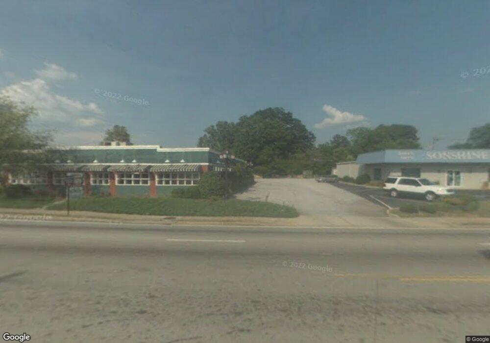
487 Big a Rd Unit 2,3 Toccoa, GA 30577
Estimated Value: $924,420
--
Bed
--
Bath
1,800
Sq Ft
$514/Sq Ft
Est. Value
About This Home
This home is located at 487 Big a Rd Unit 2,3, Toccoa, GA 30577 and is currently estimated at $924,420, approximately $513 per square foot. 487 Big a Rd Unit 2,3 is a home located in Stephens County with nearby schools including Stephens County High School.
Ownership History
Date
Name
Owned For
Owner Type
Purchase Details
Closed on
May 20, 2025
Sold by
Crazy Bread Toccoa Llc
Bought by
Gs Solutions Llc
Current Estimated Value
Purchase Details
Closed on
Oct 31, 2022
Sold by
Addy Thomas E
Bought by
Crazy Bread Toccoa Llc
Home Financials for this Owner
Home Financials are based on the most recent Mortgage that was taken out on this home.
Original Mortgage
$600,000
Interest Rate
6.92%
Mortgage Type
New Conventional
Purchase Details
Closed on
Mar 23, 2022
Sold by
Addy Thomas E
Bought by
Addy Judith
Create a Home Valuation Report for This Property
The Home Valuation Report is an in-depth analysis detailing your home's value as well as a comparison with similar homes in the area
Home Values in the Area
Average Home Value in this Area
Purchase History
| Date | Buyer | Sale Price | Title Company |
|---|---|---|---|
| Gs Solutions Llc | $935,000 | -- | |
| Crazy Bread Toccoa Llc | $180,000 | -- | |
| Addy Judith | -- | -- |
Source: Public Records
Mortgage History
| Date | Status | Borrower | Loan Amount |
|---|---|---|---|
| Previous Owner | Crazy Bread Toccoa Llc | $600,000 |
Source: Public Records
Tax History Compared to Growth
Tax History
| Year | Tax Paid | Tax Assessment Tax Assessment Total Assessment is a certain percentage of the fair market value that is determined by local assessors to be the total taxable value of land and additions on the property. | Land | Improvement |
|---|---|---|---|---|
| 2024 | $2,865 | $80,356 | $49,543 | $30,813 |
| 2023 | $1,809 | $51,141 | $49,543 | $1,598 |
| 2022 | $1,522 | $51,141 | $49,543 | $1,598 |
| 2021 | $1,599 | $51,141 | $49,543 | $1,598 |
| 2020 | $1,615 | $51,141 | $49,543 | $1,598 |
| 2019 | $1,622 | $51,141 | $49,543 | $1,598 |
| 2018 | $1,622 | $51,141 | $49,543 | $1,598 |
| 2017 | $1,647 | $51,141 | $49,543 | $1,598 |
| 2016 | $1,622 | $51,140 | $49,543 | $1,597 |
| 2015 | $1,995 | $51,140 | $49,543 | $1,597 |
| 2014 | $1,493 | $44,234 | $40,240 | $3,994 |
| 2013 | -- | $98,760 | $40,240 | $58,520 |
Source: Public Records
Map
Nearby Homes
- 0 Hwy 17 Alt Unit 10577119
- 45 Hayes St
- 59 Sunset Ln
- 249 Hillcrest Dr
- 30 Moore Ave
- 43 Pauline St
- 17 Summerhill Dr
- 178 Mitchell St
- 1222 E Tugalo St
- 0 Moreland Dr Unit 10565201
- 148 Moreland Dr
- 124 Mitchell St
- 57 Stewart St
- 43 Mountain View Dr
- 229 Hilltop Ln
- 171 Quail Forest Cir
- 1168 Rosedale St
- 50 Green Hill Place
- 139 Myrtle St
- 253 Stancil Dr
- 487 Big a Rd
- 115 Letourneau Dr
- 49 Letourneau Dr
- 46 Highway 123
- 46 U S 123
- 1030 E Currahee St
- 504 Big a Rd
- 63 Letourneau Dr
- 74 Highway 123
- 0 Highway 17 By Pass Unit 2733559
- 0 Highway 17 By Pass Unit 2733555
- 0 Hwy 17 S Unit 7096259
- 0 Hwy 17 Unit 7296204
- 0 Highway 17 Unit LT 6 2647748
- 0 Hwy 17 S Unit BIG A 7304449
- 0 Highway 17 Unit BIG A 7304475
- 0 Hwy 17 Alt Unit 7549323
- 0 Hwy 17 Unit 8052264
- 0 Highway 17 Unit 7105960
- 0 Highway 17 By Pass Unit 3256129