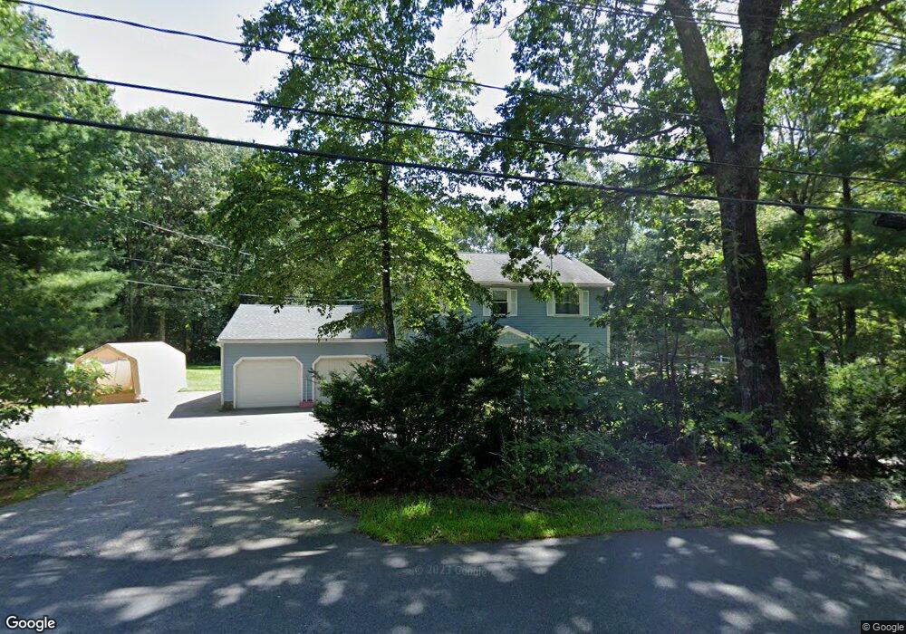
487 Cross St Boylston, MA 01505
Estimated Value: $620,575 - $798,000
4
Beds
3
Baths
2,148
Sq Ft
$322/Sq Ft
Est. Value
About This Home
This home is located at 487 Cross St, Boylston, MA 01505 and is currently estimated at $691,644, approximately $321 per square foot. 487 Cross St is a home located in Worcester County with nearby schools including Tahanto Regional High School and St Mary Elementary School.
Ownership History
Date
Name
Owned For
Owner Type
Purchase Details
Closed on
Dec 27, 2000
Sold by
Fanale James E
Bought by
Coakley Steven J and Coakley Lori A
Current Estimated Value
Purchase Details
Closed on
Mar 20, 1998
Sold by
Berlind Brian D and Berlind Linda L
Bought by
Fanale James E
Purchase Details
Closed on
Jun 14, 1996
Sold by
Polnerow Dean and Polnerow Elizabeth
Bought by
Berlind Brian D and Berlind Linda
Create a Home Valuation Report for This Property
The Home Valuation Report is an in-depth analysis detailing your home's value as well as a comparison with similar homes in the area
Home Values in the Area
Average Home Value in this Area
Purchase History
| Date | Buyer | Sale Price | Title Company |
|---|---|---|---|
| Coakley Steven J | $271,500 | -- | |
| Fanale James E | $226,000 | -- | |
| Berlind Brian D | $218,500 | -- |
Source: Public Records
Mortgage History
| Date | Status | Borrower | Loan Amount |
|---|---|---|---|
| Open | Berlind Brian D | $118,000 | |
| Open | Berlind Brian D | $210,000 |
Source: Public Records
Tax History
| Year | Tax Paid | Tax Assessment Tax Assessment Total Assessment is a certain percentage of the fair market value that is determined by local assessors to be the total taxable value of land and additions on the property. | Land | Improvement |
|---|---|---|---|---|
| 2025 | $7,113 | $514,300 | $184,500 | $329,800 |
| 2024 | $6,469 | $468,400 | $184,500 | $283,900 |
| 2023 | $6,715 | $466,300 | $184,500 | $281,800 |
| 2022 | $6,501 | $410,400 | $184,500 | $225,900 |
| 2021 | $6,795 | $400,200 | $184,500 | $215,700 |
| 2020 | $8,547 | $398,500 | $186,900 | $211,600 |
| 2019 | $6,185 | $385,600 | $184,900 | $200,700 |
| 2018 | $7,712 | $376,200 | $184,900 | $191,300 |
| 2017 | $6,064 | $376,200 | $184,900 | $191,300 |
| 2016 | $5,436 | $332,100 | $145,300 | $186,800 |
| 2015 | $5,782 | $332,100 | $145,300 | $186,800 |
| 2014 | $5,393 | $310,100 | $132,100 | $178,000 |
Source: Public Records
Map
Nearby Homes
- 23 Twin Spring Dr
- 52 Barnard Hill Rd
- 49 Barnard Hill Rd
- 173 Central St
- 8 Liberty Tree Ln
- 57 Colonial Dr
- 623 Edgebrook Dr Unit 623
- 34 Joseph Rd
- 340 Green St
- 289 Sewall St Unit 289
- 291 Sewall St Unit 291
- 445 Green St
- 5 Barnard Hill Rd
- 356 Church St
- 145 Boylston Cir
- 223 Gulf St
- 11 Venus Dr
- 27 Autumn Ln
- 163 Gulf St
- 302 Church St
Your Personal Tour Guide
Ask me questions while you tour the home.