Estimated Value: $307,000 - $444,000
3
Beds
2
Baths
1,508
Sq Ft
$237/Sq Ft
Est. Value
About This Home
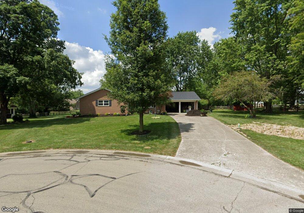
This home is located at 487 David Ln, Mason, OH 45040 and is currently estimated at $357,223, approximately $236 per square foot. 487 David Ln is a home located in Warren County with nearby schools including Mason Intermediate Elementary School, Mason Middle School, and William Mason High School.
Ownership History
Date
Name
Owned For
Owner Type
Purchase Details
Closed on
Sep 11, 2007
Sold by
Senour Esther E
Bought by
Filippi John and Filippi Sandra
Current Estimated Value
Home Financials for this Owner
Home Financials are based on the most recent Mortgage that was taken out on this home.
Original Mortgage
$144,000
Outstanding Balance
$89,342
Interest Rate
6.63%
Mortgage Type
Purchase Money Mortgage
Estimated Equity
$267,882
Create a Home Valuation Report for This Property
The Home Valuation Report is an in-depth analysis detailing your home's value as well as a comparison with similar homes in the area
Home Values in the Area
Average Home Value in this Area
Purchase History
| Date | Buyer | Sale Price | Title Company |
|---|---|---|---|
| Filippi John | $140,000 | Vintage Title Agency Inc |
Source: Public Records
Mortgage History
| Date | Status | Borrower | Loan Amount |
|---|---|---|---|
| Open | Filippi John | $144,000 |
Source: Public Records
Tax History
| Year | Tax Paid | Tax Assessment Tax Assessment Total Assessment is a certain percentage of the fair market value that is determined by local assessors to be the total taxable value of land and additions on the property. | Land | Improvement |
|---|---|---|---|---|
| 2025 | $3,524 | $86,840 | $24,500 | $62,340 |
| 2024 | $3,524 | $86,840 | $24,500 | $62,340 |
| 2023 | $3,380 | $70,343 | $15,067 | $55,275 |
| 2022 | $3,336 | $70,343 | $15,068 | $55,276 |
| 2021 | $3,160 | $70,343 | $15,068 | $55,276 |
| 2020 | $2,996 | $57,190 | $12,250 | $44,940 |
| 2019 | $2,755 | $57,190 | $12,250 | $44,940 |
| 2018 | $2,764 | $57,190 | $12,250 | $44,940 |
| 2017 | $2,680 | $51,776 | $11,267 | $40,509 |
| 2016 | $2,761 | $51,776 | $11,267 | $40,509 |
| 2015 | $2,767 | $51,776 | $11,267 | $40,509 |
| 2014 | $2,697 | $47,070 | $10,240 | $36,830 |
| 2013 | $2,703 | $56,300 | $12,250 | $44,050 |
Source: Public Records
Map
Nearby Homes
- 6246 Fairway Dr
- 5921 Fairway Dr
- 4109 Old Manchester Ct
- 4202 E Village Dr
- 4190 E Village Dr
- 220 Kings Mills Rd
- 382 Walnut Ln
- 602 Bunker Ln
- 618 Bunker Ln
- 3808 Sandtrap Cir Unit 3808
- 6674 Villager Place Unit 153D
- 4019 Fieldsedge Dr
- 6768 Pondfield Ln Unit 271E
- 6416 Eagleview Dr
- 6388 Inverness Way
- 3634 Pebble Creek Ct
- 6790 Parklake Dr
- 6510 Prestwick Ct
- 5399 Country Ridge Dr
- 5533 Cox-Smith Rd
- 500 David Ln
- 481 Cloverwood Dr
- 475 Cloverwood Dr
- 494 David Ln
- 490 David Ln
- 469 Cloverwood Dr
- 480 Cloverwood Dr
- 463 Cloverwood Dr
- 6175 Cloverwood Ct
- 470 Cloverwood Dr
- 6175 Cloverwood Dr
- 476 David Ln
- 457 Cloverwood Dr
- 6191 Cloverwood Ct
- 464 Cloverwood Dr
- 6174 Cloverwood Ct
- 468 David Ln
- 6219 Cloverwood Dr
- 6192 Cloverwood Ct
- 456 Cloverwood Dr
Your Personal Tour Guide
Ask me questions while you tour the home.