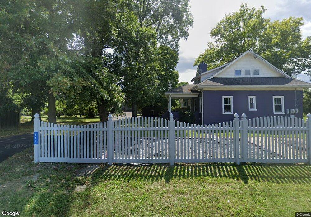
487 Durham Rd Newtown, PA 18940
Estimated Value: $577,000 - $729,000
3
Beds
1
Bath
2,020
Sq Ft
$328/Sq Ft
Est. Value
About This Home
This home is located at 487 Durham Rd, Newtown, PA 18940 and is currently estimated at $662,142, approximately $327 per square foot. 487 Durham Rd is a home located in Bucks County with nearby schools including Wrightstown Elementary School, Newtown Middle School, and Council Rock High School North.
Ownership History
Date
Name
Owned For
Owner Type
Purchase Details
Closed on
Oct 20, 2008
Sold by
Humola Randy R and Yaccarino Gia M
Bought by
Yaccarino Gia M
Current Estimated Value
Home Financials for this Owner
Home Financials are based on the most recent Mortgage that was taken out on this home.
Original Mortgage
$170,000
Outstanding Balance
$113,263
Interest Rate
6.47%
Mortgage Type
New Conventional
Estimated Equity
$548,879
Purchase Details
Closed on
Nov 16, 1998
Sold by
Rakus Mildred W and Getzow Steven
Bought by
Mcintyre John and Mcintyre Stephen
Create a Home Valuation Report for This Property
The Home Valuation Report is an in-depth analysis detailing your home's value as well as a comparison with similar homes in the area
Home Values in the Area
Average Home Value in this Area
Purchase History
| Date | Buyer | Sale Price | Title Company |
|---|---|---|---|
| Yaccarino Gia M | -- | None Available | |
| Mcintyre John | $122,000 | -- |
Source: Public Records
Mortgage History
| Date | Status | Borrower | Loan Amount |
|---|---|---|---|
| Open | Yaccarino Gia M | $170,000 |
Source: Public Records
Tax History
| Year | Tax Paid | Tax Assessment Tax Assessment Total Assessment is a certain percentage of the fair market value that is determined by local assessors to be the total taxable value of land and additions on the property. | Land | Improvement |
|---|---|---|---|---|
| 2025 | $5,567 | $31,520 | $10,040 | $21,480 |
| 2024 | $5,567 | $31,520 | $10,040 | $21,480 |
| 2023 | $5,332 | $31,520 | $10,040 | $21,480 |
| 2022 | $5,279 | $31,520 | $10,040 | $21,480 |
| 2021 | $5,198 | $31,520 | $10,040 | $21,480 |
| 2020 | $5,074 | $31,520 | $10,040 | $21,480 |
| 2019 | $4,958 | $31,520 | $10,040 | $21,480 |
| 2018 | $4,866 | $31,520 | $10,040 | $21,480 |
| 2017 | $4,674 | $31,520 | $10,040 | $21,480 |
| 2016 | -- | $31,520 | $10,040 | $21,480 |
| 2015 | -- | $31,520 | $10,040 | $21,480 |
| 2014 | -- | $31,520 | $10,040 | $21,480 |
Source: Public Records
Map
Nearby Homes
- 288 Jane Chapman Dr E Unit E
- 992 Worthington Mill Rd
- 25 Augusta Dr
- 23 Augusta Dr
- 438 Durham Rd
- 21 Augusta Dr
- 19 Augusta Dr
- 27 Augusta Dr
- 632 Durham Rd
- 29 Augusta Dr
- 22 Augusta Dr
- 20 Augusta Dr
- 31 Augusta Dr
- 33 Augusta Dr
- 35 Augusta Dr
- 0 Augusta Dr Unit KINGSWOOD
- 0 Augusta Dr Unit MAYWEATHER
- 0 Augusta Dr Unit RAINTREE
- 0 Augusta Dr Unit CLOVERFIELD
- 0 Augusta Dr Unit ROLLINS
- 489 Durham Rd
- 495 Durham Rd
- 475 Durham Rd
- 491 Durham Rd
- Wrightstown Rd
- 1093 Worthington Mill Rd
- 1080 Worthington Mill Rd
- 1114 Wrightstown Rd
- 1083 Worthington Mill Rd
- 473 Durham Rd
- 1118 Wrightstown Rd
- 510b Durham Rd
- 249 Jane Chapman Dr E
- 588 Durham Rd
- 253 Jane Chapman Dr E
- 510 Durham Rd
- 1071 Worthington Mill Rd
- 245 Jane Chapman Dr E
- 1141 Wrightstown Rd
- 522 Durham Rd
Your Personal Tour Guide
Ask me questions while you tour the home.