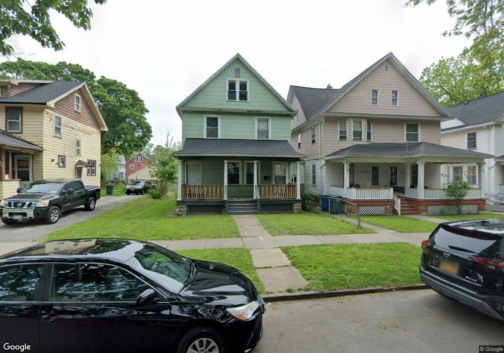
487 Flint St Unit 489 Rochester, NY 14611
Genesee-Jefferson NeighborhoodEstimated Value: $86,000 - $103,000
4
Beds
2
Baths
1,536
Sq Ft
$64/Sq Ft
Est. Value
About This Home
This home is located at 487 Flint St Unit 489, Rochester, NY 14611 and is currently estimated at $97,844, approximately $63 per square foot. 487 Flint St Unit 489 is a home located in Monroe County with nearby schools including George Mather Forbes School No. 4, School 19 Dr Charles T Lunsford, and John Walton Spencer School No. 16.
Ownership History
Date
Name
Owned For
Owner Type
Purchase Details
Closed on
Sep 27, 2022
Sold by
Mankowski David
Bought by
Harris Hill Realty Llc
Current Estimated Value
Home Financials for this Owner
Home Financials are based on the most recent Mortgage that was taken out on this home.
Original Mortgage
$65,000
Outstanding Balance
$62,540
Interest Rate
6.02%
Mortgage Type
Seller Take Back
Estimated Equity
$35,304
Purchase Details
Closed on
Apr 4, 2008
Sold by
City Of Rochester
Bought by
Mankowski David
Purchase Details
Closed on
Feb 20, 2001
Sold by
Dyson Joe L
Bought by
Chavers Nelson Theresa
Create a Home Valuation Report for This Property
The Home Valuation Report is an in-depth analysis detailing your home's value as well as a comparison with similar homes in the area
Home Values in the Area
Average Home Value in this Area
Purchase History
| Date | Buyer | Sale Price | Title Company |
|---|---|---|---|
| Harris Hill Realty Llc | $65,000 | -- | |
| Mankowski David | $10,700 | -- | |
| Chavers Nelson Theresa | -- | -- |
Source: Public Records
Mortgage History
| Date | Status | Borrower | Loan Amount |
|---|---|---|---|
| Open | Harris Hill Realty Llc | $65,000 |
Source: Public Records
Tax History
| Year | Tax Paid | Tax Assessment Tax Assessment Total Assessment is a certain percentage of the fair market value that is determined by local assessors to be the total taxable value of land and additions on the property. | Land | Improvement |
|---|---|---|---|---|
| 2024 | $612 | $65,000 | $7,700 | $57,300 |
| 2023 | $546 | $34,600 | $3,100 | $31,500 |
| 2022 | $555 | $34,600 | $3,100 | $31,500 |
| 2021 | $560 | $34,600 | $3,100 | $31,500 |
| 2020 | $571 | $34,600 | $3,100 | $31,500 |
| 2019 | $631 | $33,000 | $3,100 | $29,900 |
| 2018 | $1,240 | $33,000 | $3,100 | $29,900 |
| 2017 | $1,754 | $33,000 | $3,100 | $29,900 |
| 2016 | $631 | $33,000 | $3,100 | $29,900 |
| 2015 | -- | $33,000 | $3,100 | $29,900 |
| 2014 | -- | $33,000 | $3,100 | $29,900 |
Source: Public Records
Map
Nearby Homes
- 122-124 Shelter St Unit 2
- 102-104 Shelter St
- 176 Shelter St
- 321 Hawley St
- 363 Flint St Unit 365
- 16 Shelter St
- 672 Jefferson Ave
- 59 Aberdeen St
- 152 Arnett Blvd
- 393 Cottage St
- 392 Frost Ave
- 933 Jefferson Ave
- 321 Frost Ave
- 170 Epworth St
- 46 Elgin St
- 33 Sawyer St
- 151 Hawley St
- 1155-1159 S Plymouth Ave
- 160 Sawyer St
- 239 Reynolds St Unit 241
- 491 Flint St Unit 493
- 481 Flint St
- 477 Flint St
- 499 Flint St
- 501 Flint St Unit 503
- 465 Flint St Unit 467
- 465-467 Flint St
- 465-467 Flint St
- 136 Shelter St Unit 138
- 507 Flint St
- 140 Shelter St
- 132 Shelter St
- 461 Flint St Unit 463
- 122 Shelter St Unit 124
- 146 Shelter St
- 120 Shelter St
- 152 Shelter St Unit 154
- 513 Flint St Unit 515
- 459 Flint St
- 484 Flint St