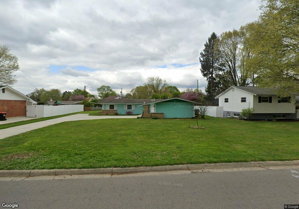
487 King Ave Newark, OH 43055
Estimated Value: $238,000 - $261,000
3
Beds
2
Baths
1,514
Sq Ft
$165/Sq Ft
Est. Value
About This Home
This home is located at 487 King Ave, Newark, OH 43055 and is currently estimated at $250,202, approximately $165 per square foot. 487 King Ave is a home located in Licking County with nearby schools including John Clem Elementary School, Liberty Middle School, and Newark High School.
Ownership History
Date
Name
Owned For
Owner Type
Purchase Details
Closed on
Jan 17, 2025
Sold by
Krak Brandy Lee Coffield and Krak Timothy
Bought by
Belhaiba Boubker and Coffield Holly
Current Estimated Value
Purchase Details
Closed on
Jun 28, 2024
Sold by
Donna L Hoey Revocable Intervivos Trust and Donna L Hoey Trust
Bought by
Krak Brandy Lee Coffield
Purchase Details
Closed on
Mar 8, 2017
Sold by
Hoey Donna L
Bought by
Hoey Donna L and Donna L Hoey Trust
Purchase Details
Closed on
Dec 18, 2014
Sold by
Kelley Shauna L and Jellison Shauna L
Bought by
Hoey Donald W and Donald W Hoey Restated Trust
Purchase Details
Closed on
Dec 30, 2011
Sold by
Levin John Andrew and Levin Miriam
Bought by
Jellison Shauna L
Home Financials for this Owner
Home Financials are based on the most recent Mortgage that was taken out on this home.
Original Mortgage
$92,493
Interest Rate
4.25%
Mortgage Type
FHA
Purchase Details
Closed on
Feb 19, 2009
Sold by
Levin Miriam
Bought by
Lane Paul W and Lane Elizabeth I
Home Financials for this Owner
Home Financials are based on the most recent Mortgage that was taken out on this home.
Original Mortgage
$85,750
Interest Rate
5.62%
Mortgage Type
Seller Take Back
Create a Home Valuation Report for This Property
The Home Valuation Report is an in-depth analysis detailing your home's value as well as a comparison with similar homes in the area
Home Values in the Area
Average Home Value in this Area
Purchase History
| Date | Buyer | Sale Price | Title Company |
|---|---|---|---|
| Belhaiba Boubker | $235,000 | None Listed On Document | |
| Krak Brandy Lee Coffield | -- | None Listed On Document | |
| Hoey Donna L | -- | First American Title Company | |
| Hoey Donald W | $172,500 | Northwest Title Family Of Co | |
| Jellison Shauna L | $94,900 | Ambassador | |
| Lane Paul W | $104,000 | Attorney |
Source: Public Records
Mortgage History
| Date | Status | Borrower | Loan Amount |
|---|---|---|---|
| Previous Owner | Jellison Shauna L | $92,493 | |
| Previous Owner | Lane Paul W | $85,750 |
Source: Public Records
Tax History Compared to Growth
Tax History
| Year | Tax Paid | Tax Assessment Tax Assessment Total Assessment is a certain percentage of the fair market value that is determined by local assessors to be the total taxable value of land and additions on the property. | Land | Improvement |
|---|---|---|---|---|
| 2024 | $2,101 | $68,320 | $28,980 | $39,340 |
| 2023 | $3,640 | $68,320 | $28,980 | $39,340 |
| 2022 | $1,676 | $50,480 | $16,490 | $33,990 |
| 2021 | $1,758 | $50,480 | $16,490 | $33,990 |
| 2020 | $1,807 | $50,480 | $16,490 | $33,990 |
| 2019 | $1,398 | $39,870 | $12,670 | $27,200 |
| 2018 | $1,399 | $0 | $0 | $0 |
| 2017 | $1,577 | $0 | $0 | $0 |
| 2016 | $1,410 | $0 | $0 | $0 |
| 2015 | $1,441 | $0 | $0 | $0 |
| 2014 | $1,845 | $0 | $0 | $0 |
| 2013 | $1,505 | $0 | $0 | $0 |
Source: Public Records
Map
Nearby Homes
- 245 Rugg Ave
- 440 Reverie Place
- 473 Meadowbrook Dr
- 425 N 11th St
- 181 S Quentin Rd
- 189 N Quentin Rd
- 188 Meadow Dr
- 184 Meadow Dr
- 709 Meadow Dr
- 376 Woods Ave
- 584 Moull St Unit A
- 440 Eddy St
- 913 Roosevelt Ct
- 333 N 10th St
- 567 Kibler Ave
- 355 Eddy St
- 408 Granville St
- 712 Stone Ridge Way
- 632 Granville Rd
- 565 Granville St