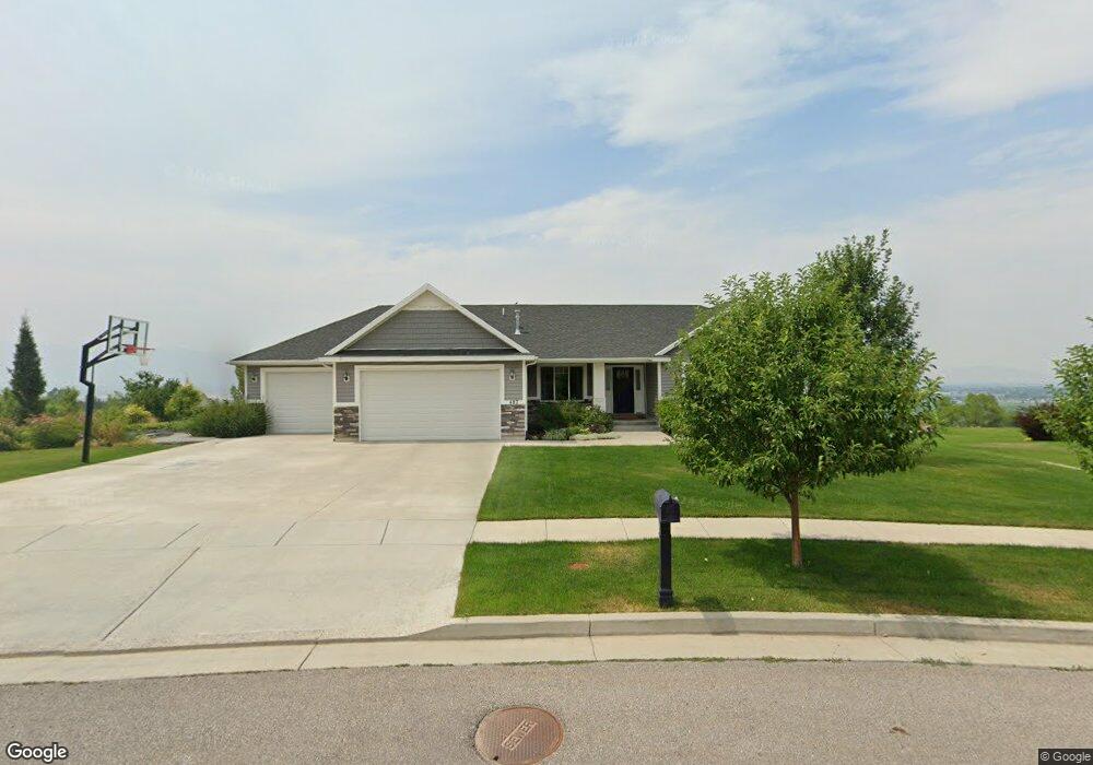
487 N 725 E Hyde Park, UT 84318
Estimated Value: $690,000 - $738,000
Studio
--
Bath
1,845
Sq Ft
$385/Sq Ft
Est. Value
About This Home
This home is located at 487 N 725 E, Hyde Park, UT 84318 and is currently estimated at $710,631, approximately $385 per square foot. 487 N 725 E is a home with nearby schools including North Park School, Cedar Ridge School, and North Cache Middle School.
Ownership History
Date
Name
Owned For
Owner Type
Purchase Details
Closed on
Jul 31, 2015
Sold by
Sierra Homes Construction Inc
Bought by
Weight Robert W and Weight Keri
Current Estimated Value
Home Financials for this Owner
Home Financials are based on the most recent Mortgage that was taken out on this home.
Original Mortgage
$274,400
Outstanding Balance
$214,260
Interest Rate
3.98%
Mortgage Type
Construction
Estimated Equity
$496,371
Purchase Details
Closed on
Oct 31, 2014
Sold by
High Creek Properties Llc
Bought by
Sierra Homes Construction Inc
Home Financials for this Owner
Home Financials are based on the most recent Mortgage that was taken out on this home.
Original Mortgage
$560,000
Interest Rate
4.17%
Mortgage Type
Construction
Create a Home Valuation Report for This Property
The Home Valuation Report is an in-depth analysis detailing your home's value as well as a comparison with similar homes in the area
Home Values in the Area
Average Home Value in this Area
Purchase History
| Date | Buyer | Sale Price | Title Company |
|---|---|---|---|
| Weight Robert W | -- | Cache Title Logan | |
| Sierra Homes Construction Inc | -- | Cache Title Company |
Source: Public Records
Mortgage History
| Date | Status | Borrower | Loan Amount |
|---|---|---|---|
| Open | Weight Robert W | $274,400 | |
| Previous Owner | Sierra Homes Construction Inc | $560,000 |
Source: Public Records
Tax History
| Year | Tax Paid | Tax Assessment Tax Assessment Total Assessment is a certain percentage of the fair market value that is determined by local assessors to be the total taxable value of land and additions on the property. | Land | Improvement |
|---|---|---|---|---|
| 2025 | $2,906 | $400,625 | $0 | $0 |
| 2024 | $4,073 | $517,800 | $0 | $0 |
| 2023 | $3,159 | $381,975 | $0 | $0 |
| 2022 | $3,285 | $381,975 | $0 | $0 |
| 2021 | $271 | $495,059 | $70,000 | $425,059 |
| 2020 | $2,531 | $439,617 | $70,000 | $369,617 |
| 2019 | $2,667 | $439,616 | $70,000 | $369,616 |
| 2018 | $2,357 | $380,915 | $50,900 | $330,015 |
| 2017 | $2,361 | $200,860 | $0 | $0 |
| 2016 | $2,395 | $148,500 | $0 | $0 |
| 2015 | $600 | $50,900 | $0 | $0 |
| 2014 | $585 | $50,900 | $0 | $0 |
| 2013 | $168 | $15,770 | $0 | $0 |
Source: Public Records
Map
Nearby Homes
- 555 N 750 E
- 522 N 800 E
- 889 E 600 N
- 668 N 800 E
- 907 E 630 N
- 444 N 890 E
- 444 N 890 E Unit 179
- 120 N 900 E
- 128 N 900 E
- 898 E 260 N
- 458 W Madison St S
- 1130 E 245 N
- 201 N 1000 E Unit 19
- 1109 E 245 N
- 830 E 410 N Unit 161
- 635 S 125 E Unit 120
- 454 W Madison St S
- 1070 E 200 N Unit 24
- 480 N 729 E
- 640 S 175 E
- 497 N 725 E Unit 83
- 497 N 725 E
- 726 E 480 N
- 729 E 480 N
- 736 E 480 N Unit 85
- 736 E 480 N
- 507 N 725 E
- 504 N 725 E
- 705 E 450 N
- 495 N 750 E
- 746 E 480 N
- 725 E 450 N
- 515 N 750 E
- 517 N 725 E Unit 80
- 745 E 450 N Unit 95
- 745 E 450 N
- 520 N 725 E
- 523 N 750 E
- 409 N Mountain Gate Dr Unit 12
- 445 N Mountain Gate Dr Unit 10
Your Personal Tour Guide
Ask me questions while you tour the home.