487 N Green Cir McDonough, GA 30252
Estimated Value: $350,000 - $418,000
3
Beds
2
Baths
2,072
Sq Ft
$185/Sq Ft
Est. Value
About This Home
This home is located at 487 N Green Cir, McDonough, GA 30252 and is currently estimated at $382,872, approximately $184 per square foot. 487 N Green Cir is a home located in Henry County with nearby schools including East Lake Elementary School, Union Grove Middle School, and Union Grove High School.
Ownership History
Date
Name
Owned For
Owner Type
Purchase Details
Closed on
Feb 10, 2021
Sold by
Moody Charles Patrick
Bought by
Moody Cynthia Oglesby
Current Estimated Value
Purchase Details
Closed on
May 21, 2001
Sold by
Fisher Stanley J and Fisher Angela E
Bought by
Fisher Stanley J and Fisher Angela E
Home Financials for this Owner
Home Financials are based on the most recent Mortgage that was taken out on this home.
Original Mortgage
$77,000
Interest Rate
7.11%
Mortgage Type
New Conventional
Create a Home Valuation Report for This Property
The Home Valuation Report is an in-depth analysis detailing your home's value as well as a comparison with similar homes in the area
Home Values in the Area
Average Home Value in this Area
Purchase History
| Date | Buyer | Sale Price | Title Company |
|---|---|---|---|
| Moody Cynthia Oglesby | -- | -- | |
| Fisher Stanley J | -- | -- |
Source: Public Records
Mortgage History
| Date | Status | Borrower | Loan Amount |
|---|---|---|---|
| Previous Owner | Fisher Stanley J | $77,000 |
Source: Public Records
Tax History Compared to Growth
Tax History
| Year | Tax Paid | Tax Assessment Tax Assessment Total Assessment is a certain percentage of the fair market value that is determined by local assessors to be the total taxable value of land and additions on the property. | Land | Improvement |
|---|---|---|---|---|
| 2025 | $1,112 | $159,704 | $20,920 | $138,784 |
| 2024 | $1,112 | $153,680 | $18,840 | $134,840 |
| 2023 | $900 | $155,920 | $18,120 | $137,800 |
| 2022 | $1,043 | $121,320 | $16,760 | $104,560 |
| 2021 | $1,026 | $100,880 | $14,360 | $86,520 |
| 2020 | $1,029 | $95,200 | $13,520 | $81,680 |
| 2019 | $1,026 | $94,600 | $14,440 | $80,160 |
| 2018 | $1,253 | $89,600 | $13,360 | $76,240 |
| 2016 | $874 | $78,120 | $11,760 | $66,360 |
| 2015 | -- | $71,440 | $11,320 | $60,120 |
| 2014 | $1,977 | $65,560 | $11,320 | $54,240 |
Source: Public Records
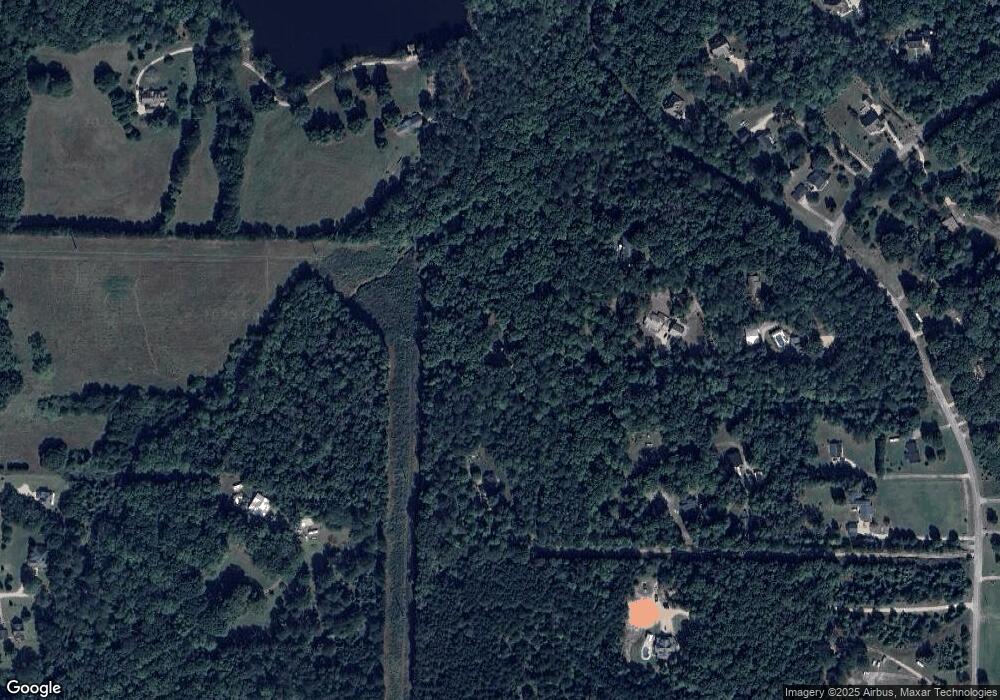
Map
Nearby Homes
- 507 N Green Cir
- 540 Indian Cotton Trail
- 1832 Elliott Rd Unit (LOT 2)
- 1824 Elliott Rd Unit (LOT 3)
- 407 River Forest Dr
- 502 Brookline Place
- 656 E Lake Rd
- 287 E Knight Rd
- 451 Cotton Indian Creek Rd
- 505 Lupin Cir
- 504 Lupin Cir
- 604 Clearwater Ct Unit 6
- 1098 E Lake Rd
- 297 E Knight Rd
- 416 Union Grove Way
- 825 Rapid Ct
- 521 John Elliott Rd
- 140 Camdale Ct
- 1710 Crumbley Rd
- 1523 Bent River Cir
- 471 N Green Cir
- 489 N Green Cir
- 475 N Green Cir
- 1100 Crumbley Rd
- 499 N Green Cir
- 1825 Elliott Rd
- 495 N Green Cir
- 501 Indian Cotton Trail
- 435 N Green Cir
- 481 N Green Cir
- 515 Indian Cotton Trail
- 505 Indian Cotton Trail
- 525 Indian Cotton Trail
- 479 N Green Cir
- 1020 Crumbley Rd
- 529 Indian Cotton Trail
- 483 N Green Cir
- 520 N Green Cir
- 1124 Crumbley Rd
- 531 Indian Cotton Trail