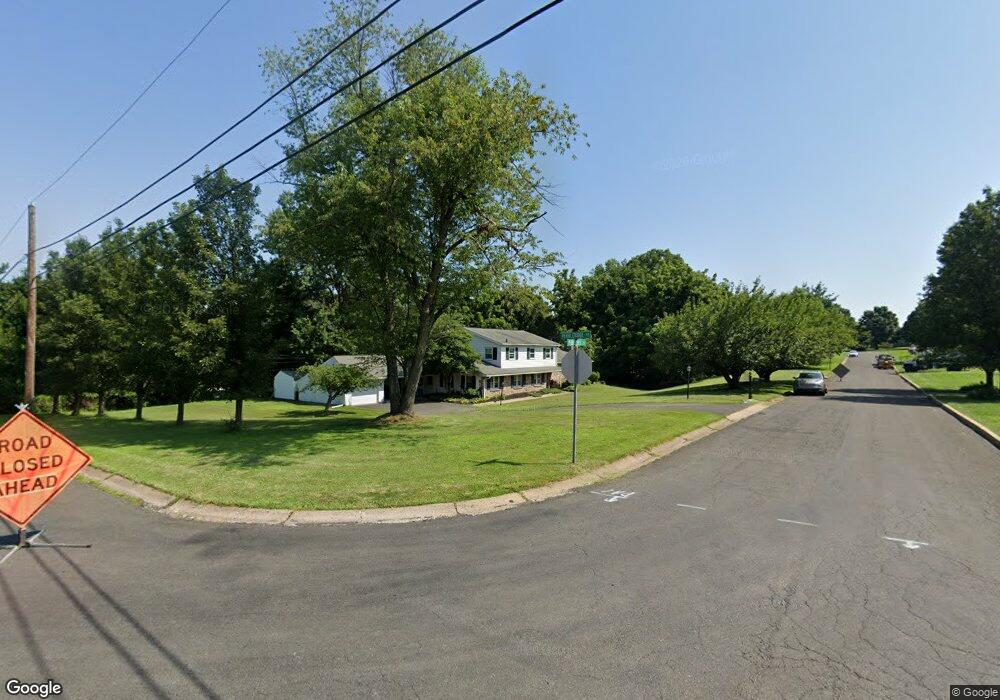
487 Pebble Crest Dr Warrington, PA 18976
Estimated Value: $760,476 - $882,000
6
Beds
4
Baths
2,660
Sq Ft
$310/Sq Ft
Est. Value
About This Home
This home is located at 487 Pebble Crest Dr, Warrington, PA 18976 and is currently estimated at $825,619, approximately $310 per square foot. 487 Pebble Crest Dr is a home located in Bucks County with nearby schools including Mill Creek Elementary School, Unami Middle School, and Central Bucks High School - South.
Ownership History
Date
Name
Owned For
Owner Type
Purchase Details
Closed on
Dec 10, 2024
Sold by
Greco Anthony S and Greco Catherine A
Bought by
Greco Anthony S and Greco Catherine A
Current Estimated Value
Purchase Details
Closed on
Nov 17, 1995
Sold by
Yoder Elsie
Bought by
Greco Anthony S and Greco Catherine A
Home Financials for this Owner
Home Financials are based on the most recent Mortgage that was taken out on this home.
Original Mortgage
$180,000
Interest Rate
7.16%
Purchase Details
Closed on
Nov 20, 1972
Bought by
Yoder Elsie Kresge and John Paul
Create a Home Valuation Report for This Property
The Home Valuation Report is an in-depth analysis detailing your home's value as well as a comparison with similar homes in the area
Home Values in the Area
Average Home Value in this Area
Purchase History
| Date | Buyer | Sale Price | Title Company |
|---|---|---|---|
| Greco Anthony S | -- | None Listed On Document | |
| Greco Anthony S | -- | None Listed On Document | |
| Greco Anthony S | $230,000 | -- | |
| Yoder Elsie Kresge | -- | -- |
Source: Public Records
Mortgage History
| Date | Status | Borrower | Loan Amount |
|---|---|---|---|
| Previous Owner | Greco Anthony S | $180,000 |
Source: Public Records
Tax History Compared to Growth
Tax History
| Year | Tax Paid | Tax Assessment Tax Assessment Total Assessment is a certain percentage of the fair market value that is determined by local assessors to be the total taxable value of land and additions on the property. | Land | Improvement |
|---|---|---|---|---|
| 2025 | $8,183 | $46,240 | $7,120 | $39,120 |
| 2024 | $8,183 | $46,240 | $7,120 | $39,120 |
| 2023 | $7,803 | $46,240 | $7,120 | $39,120 |
| 2022 | $7,716 | $46,240 | $7,120 | $39,120 |
| 2021 | $7,557 | $46,240 | $7,120 | $39,120 |
| 2020 | $7,522 | $46,240 | $7,120 | $39,120 |
| 2019 | $7,441 | $46,240 | $7,120 | $39,120 |
| 2018 | $7,418 | $46,240 | $7,120 | $39,120 |
| 2017 | $7,360 | $46,240 | $7,120 | $39,120 |
| 2016 | $7,314 | $46,240 | $7,120 | $39,120 |
| 2015 | -- | $46,240 | $7,120 | $39,120 |
| 2014 | -- | $46,240 | $7,120 | $39,120 |
Source: Public Records
Map
Nearby Homes
- 222 Windsor Way
- 73 Brinker Dr Unit S
- 612 Bethel Ln Unit THE ROOSEVELT PLAN
- 612 Bethel Ln Unit THE MONROE PLAN
- 21 Cornerstone Ct Unit 3801
- 1101 Deerfield Ln
- 9 Cornerstone Ct Unit 4105
- 3159 Bristol Rd
- 9 Silver Maple Dr
- 17 Addison Ct Unit 2703
- 125 Edison Furlong Rd
- 902 Eagle Ln
- Redfield Elite Plan at Doylestown Walk
- 2 Mill Creek Dr
- 6 Mill Creek Dr
- 47 Mill Creek Dr
- 150 Edison Furlong Rd
- 1 Mill Creek Dr
- 3 Mill Creek Dr
- 5 Mill Creek Dr
- 184 Pebble Ridge Rd
- 206 Pebble Ridge Rd
- 191 Pebble Ridge Rd
- 203 Pebble Ridge Rd
- 1010 Almshouse Rd
- 172 Shady Brook Cir
- 218 Pebble Ridge Rd
- 1030 Almshouse Rd
- 165 Pebble Ridge Rd
- 215 Pebble Ridge Rd
- 168 Shady Brook Cir
- 1000 Almshouse Rd
- 230 Pebble Ridge Rd
- 1040 Almshouse Rd
- 227 Pebble Ridge Rd
- 156 Pebble Ridge Rd
- 137 Pebble Ridge Rd
- 1050 Almshouse Rd
- 990 Almshouse Rd
- 242 Pebble Ridge Rd