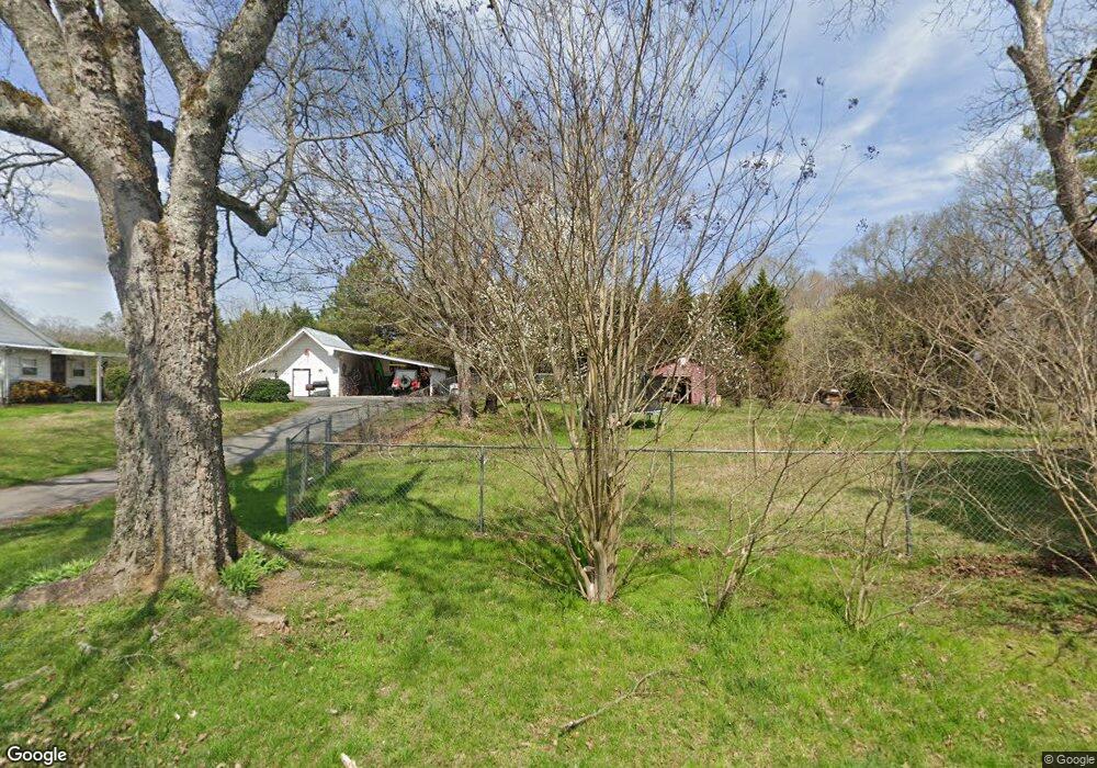
487 Roy Bird Rd Rock Spring, GA 30739
Rock Spring NeighborhoodEstimated Value: $393,824 - $605,000
Studio
2
Baths
2,698
Sq Ft
$183/Sq Ft
Est. Value
About This Home
This home is located at 487 Roy Bird Rd, Rock Spring, GA 30739 and is currently estimated at $494,456, approximately $183 per square foot. 487 Roy Bird Rd is a home located in Walker County with nearby schools including Rock Spring Elementary School and Lafayette High School.
Ownership History
Date
Name
Owned For
Owner Type
Purchase Details
Closed on
Nov 8, 1999
Sold by
Ballard Grover W
Bought by
Mcgee David G and Mcgee Penny C
Current Estimated Value
Purchase Details
Closed on
Sep 30, 1999
Sold by
Bird Roy L
Bought by
Ballard Grover W
Purchase Details
Closed on
May 25, 1993
Sold by
Bird Roy and Bird Kittie
Bought by
Bird Roy L
Purchase Details
Closed on
Dec 28, 1992
Sold by
Bird Roy
Bought by
Bird Roy and Bird Kittie
Purchase Details
Closed on
Jan 1, 1972
Bought by
Bird Roy
Create a Home Valuation Report for This Property
The Home Valuation Report is an in-depth analysis detailing your home's value as well as a comparison with similar homes in the area
Home Values in the Area
Average Home Value in this Area
Purchase History
| Date | Buyer | Sale Price | Title Company |
|---|---|---|---|
| Mcgee David G | $14,900 | -- | |
| Ballard Grover W | -- | -- | |
| Bird Roy L | -- | -- | |
| Bird Roy | -- | -- | |
| Bird Roy | -- | -- |
Source: Public Records
Tax History
| Year | Tax Paid | Tax Assessment Tax Assessment Total Assessment is a certain percentage of the fair market value that is determined by local assessors to be the total taxable value of land and additions on the property. | Land | Improvement |
|---|---|---|---|---|
| 2024 | $3,185 | $140,228 | $14,590 | $125,638 |
| 2023 | $3,051 | $131,040 | $11,580 | $119,460 |
| 2022 | $2,876 | $114,077 | $10,217 | $103,860 |
| 2021 | $2,926 | $105,217 | $10,217 | $95,000 |
| 2020 | $133 | $86,456 | $10,217 | $76,239 |
| 2019 | $2,370 | $79,097 | $10,217 | $68,880 |
| 2018 | $2,093 | $79,097 | $10,217 | $68,880 |
| 2017 | $2,588 | $79,097 | $10,217 | $68,880 |
| 2016 | $2,017 | $79,097 | $10,217 | $68,880 |
| 2015 | $2,576 | $95,914 | $17,540 | $78,374 |
| 2014 | $2,434 | $95,914 | $17,540 | $78,374 |
| 2013 | -- | $95,914 | $17,540 | $78,374 |
Source: Public Records
Map
Nearby Homes
- 00 Georgia 95
- 40 Blessed Way
- 1003 Highway N Old 27
- 0 Bicentennial Trail Unit 7707994
- 0 Bicentennial Trail Unit 7707991
- 0 Bicentennial Trail Unit 10680206
- 0 Bicentennial Trail Unit 10687168
- 0 Bicentennial Trail Unit 10687173
- 0 Bicentennial Trail Unit 7707992
- 0 Bicentennial Trail Unit 10687176
- 0 Bicentennial Trail Unit 7707995
- 1902 Long Hollow Rd
- 10180 Us Highway 27
- 59 Honeysuckle Dr
- 195 Honeysuckle Dr
- 36 Pheonix Cir
- 701 Bicentennial Trail
- 42 Hope Dr
- 223 Cooper Rd
- 285 Cooper Rd
- 445 Roy Bird Rd
- 515 Roy Bird Rd
- 409 Roy Bird Rd
- 745 Roy Bird Rd
- 663 Roy Bird Rd
- 615 Roy Bird Rd
- 797 Roy Bird Rd
- 931 Roy Bird Rd
- 676 Roy Bird Rd
- 94 Roy Bird Rd
- 578 Roy Bird Rd
- 355 Roy Bird Rd
- 560 Roy Bird Rd
- 380 Roy Bird Rd
- 809 Roy Bird Rd
- 716 Roy Bird Rd
- 442 Roy Bird Rd
- 337 Roy Bird Rd
- 620 Roy Bird Rd
- 810 Roy Bird Rd
Your Personal Tour Guide
Ask me questions while you tour the home.