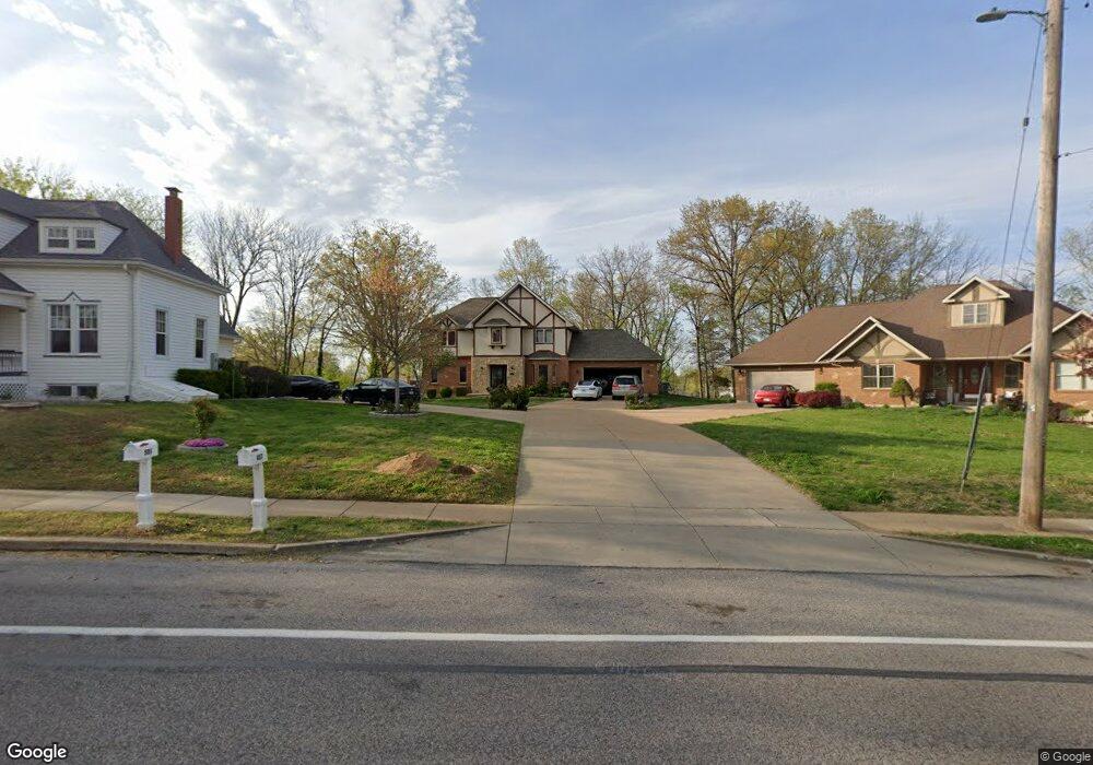
487 Sappington Barracks Rd Saint Louis, MO 63125
Mehlville NeighborhoodEstimated Value: $372,000 - $502,000
4
Beds
4
Baths
2,268
Sq Ft
$195/Sq Ft
Est. Value
About This Home
This home is located at 487 Sappington Barracks Rd, Saint Louis, MO 63125 and is currently estimated at $442,074, approximately $194 per square foot. 487 Sappington Barracks Rd is a home located in St. Louis County with nearby schools including Forder Elementary School, Margaret Buerkle Middle School, and Mehlville High School.
Ownership History
Date
Name
Owned For
Owner Type
Purchase Details
Closed on
Sep 26, 2006
Sold by
Shield Properties Llc
Bought by
Uy Anthony B and Uy Michelle S
Current Estimated Value
Home Financials for this Owner
Home Financials are based on the most recent Mortgage that was taken out on this home.
Original Mortgage
$68,500
Interest Rate
6.16%
Mortgage Type
Stand Alone Second
Create a Home Valuation Report for This Property
The Home Valuation Report is an in-depth analysis detailing your home's value as well as a comparison with similar homes in the area
Home Values in the Area
Average Home Value in this Area
Purchase History
| Date | Buyer | Sale Price | Title Company |
|---|---|---|---|
| Uy Anthony B | $342,500 | Htc |
Source: Public Records
Mortgage History
| Date | Status | Borrower | Loan Amount |
|---|---|---|---|
| Closed | Uy Anthony B | $68,500 | |
| Open | Uy Anthony B | $274,000 |
Source: Public Records
Tax History Compared to Growth
Tax History
| Year | Tax Paid | Tax Assessment Tax Assessment Total Assessment is a certain percentage of the fair market value that is determined by local assessors to be the total taxable value of land and additions on the property. | Land | Improvement |
|---|---|---|---|---|
| 2025 | $4,902 | $81,410 | $20,100 | $61,310 |
| 2024 | $4,902 | $72,490 | $11,040 | $61,450 |
| 2023 | $4,839 | $72,490 | $11,040 | $61,450 |
| 2022 | $4,264 | $59,280 | $11,040 | $48,240 |
| 2021 | $3,782 | $59,280 | $11,040 | $48,240 |
| 2020 | $4,548 | $67,890 | $12,560 | $55,330 |
| 2019 | $4,535 | $67,890 | $12,560 | $55,330 |
| 2018 | $3,928 | $53,050 | $7,200 | $45,850 |
| 2017 | $3,923 | $53,050 | $7,200 | $45,850 |
| 2016 | $3,969 | $51,510 | $6,860 | $44,650 |
| 2015 | $3,720 | $51,510 | $6,860 | $44,650 |
| 2014 | $3,352 | $45,920 | $4,160 | $41,760 |
Source: Public Records
Map
Nearby Homes
- 851 Poplar Dr
- 701 Chevron Dr
- 3151 Lin Tel Rd
- 725 Buckley Rd
- 929 Peace Haven Dr
- 3105 Lin Tel Rd
- 4061 Morningview Ct
- 2907 Hubert Dr
- 35 Berview Cir Unit E
- 1 Berview Cir Unit B
- 9 Berview Cir Unit H
- 4248 Kingbolt Blvd Unit D
- 517 Aqua Ridge Dr
- 2745 Granda Dr
- 2959 Annunciation Dr
- 525 Fairwick Dr
- 4101 Forder Circle Dr
- 2669 Jonathan Dr
- 4301 Heinle Dr
- 1141 Sunbolt Dr Unit C
- 512 Blossomheath Dr
- 475 Sappington Barracks Rd
- 518 Blossomheath Dr
- 443 Blooming Dale Dr
- 501 Sappington Barracks Rd
- 524 Blossomheath Dr
- 449 Blooming Dale Dr
- 511 Sappington Barracks Rd
- 459 Sappington Barracks Rd
- 464 Terryville Dr
- 411 Blossomheath Ln
- 455 Blooming Dale Dr
- 403 Blossomheath Ln
- 531 Blossomheath Dr
- 458 Blooming Dale Dr
- 460 Terryville Dr
- 461 Blooming Dale Dr
- 460 Sappington Barracks Rd
- 500 Sappington Barracks Rd
- 454 Sappington Barracks Rd