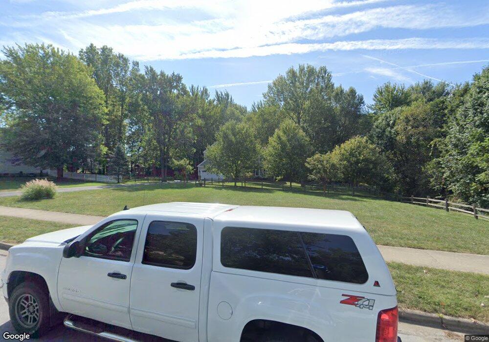
487 Susan Ave Westerville, OH 43081
Estimated Value: $508,000 - $566,551
4
Beds
4
Baths
2,460
Sq Ft
$217/Sq Ft
Est. Value
About This Home
This home is located at 487 Susan Ave, Westerville, OH 43081 and is currently estimated at $534,888, approximately $217 per square foot. 487 Susan Ave is a home located in Franklin County with nearby schools including Robert Frost Elementary School, Heritage Middle School, and Westerville-North High School.
Ownership History
Date
Name
Owned For
Owner Type
Purchase Details
Closed on
Mar 1, 2000
Sold by
The Al Barnes Company
Bought by
Wright Robert and Wright Adele
Current Estimated Value
Home Financials for this Owner
Home Financials are based on the most recent Mortgage that was taken out on this home.
Original Mortgage
$126,000
Outstanding Balance
$38,335
Interest Rate
6.87%
Estimated Equity
$496,553
Purchase Details
Closed on
Feb 12, 1996
Sold by
Letner Billy J
Bought by
Al Barnes Co
Home Financials for this Owner
Home Financials are based on the most recent Mortgage that was taken out on this home.
Original Mortgage
$47,255
Interest Rate
7.11%
Mortgage Type
New Conventional
Purchase Details
Closed on
Jan 6, 1993
Create a Home Valuation Report for This Property
The Home Valuation Report is an in-depth analysis detailing your home's value as well as a comparison with similar homes in the area
Home Values in the Area
Average Home Value in this Area
Purchase History
| Date | Buyer | Sale Price | Title Company |
|---|---|---|---|
| Wright Robert | $169,900 | Chicago Title West | |
| Al Barnes Co | $47,256 | -- | |
| -- | $36,300 | -- |
Source: Public Records
Mortgage History
| Date | Status | Borrower | Loan Amount |
|---|---|---|---|
| Open | Wright Robert | $126,000 | |
| Closed | Al Barnes Co | $47,255 |
Source: Public Records
Tax History Compared to Growth
Tax History
| Year | Tax Paid | Tax Assessment Tax Assessment Total Assessment is a certain percentage of the fair market value that is determined by local assessors to be the total taxable value of land and additions on the property. | Land | Improvement |
|---|---|---|---|---|
| 2024 | $9,220 | $162,230 | $43,440 | $118,790 |
| 2023 | $9,024 | $162,225 | $43,435 | $118,790 |
| 2022 | $9,958 | $136,680 | $40,290 | $96,390 |
| 2021 | $10,041 | $136,680 | $40,290 | $96,390 |
| 2020 | $10,013 | $136,680 | $40,290 | $96,390 |
| 2019 | $8,616 | $111,030 | $40,290 | $70,740 |
| 2018 | $7,904 | $111,030 | $40,290 | $70,740 |
| 2017 | $8,037 | $111,030 | $40,290 | $70,740 |
| 2016 | $7,600 | $90,650 | $20,370 | $70,280 |
| 2015 | $7,361 | $90,650 | $20,370 | $70,280 |
| 2014 | $7,366 | $90,650 | $20,370 | $70,280 |
| 2013 | $3,678 | $90,650 | $20,370 | $70,280 |
Source: Public Records
Map
Nearby Homes
- 150 Matthew Ave
- 200 Matthew Ave
- 547 County Line Rd
- 368 E College Ave
- 364 E College Ave
- 589 E College Ave
- 417 E Park St
- 199 E College Ave
- 182 Hillcrest Dr
- 718 Sugar Ct
- 768 Collingwood Dr
- 192 Buckeye Ct
- 267 Windemere Place
- 348 Buck Run Trail
- 360 Potawatomi Dr
- 92 N Vine St
- 912 Lakeway Ct E
- 223 Dogwood Ln
- 137 Abbeycross Ln
- 389 Ridgemoor Ln
- 0 Susan Ave
- 511 Susan Ave
- 77 Westridge Ct
- 496 Susan Ave
- 449 Michael Ave
- 457 Michael Ave
- 71 Westridge Ct
- 510 Susan Ave
- 441 Michael Ave
- 433 Michael Ave
- 475 Michael Ave
- 425 Michael Ave
- 104 Juniper Ave
- 96 Juniper Ave
- 112 Juniper Ave
- 553 Susan Ave
- 90 Juniper Ave
- 446 Michael Ave
- 483 Michael Ave
- 124 Juniper Ave
