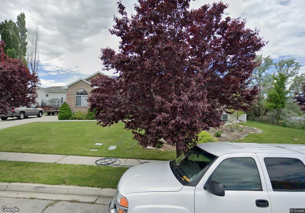
487 W 1360 N American Fork, UT 84003
Estimated Value: $649,000 - $718,000
5
Beds
3
Baths
3,520
Sq Ft
$196/Sq Ft
Est. Value
About This Home
This home is located at 487 W 1360 N, American Fork, UT 84003 and is currently estimated at $690,643, approximately $196 per square foot. 487 W 1360 N is a home located in Utah County with nearby schools including Legacy Elementary School, American Fork Junior High School, and American Fork High School.
Ownership History
Date
Name
Owned For
Owner Type
Purchase Details
Closed on
Oct 7, 2025
Sold by
Knight Craig D and Knight Charlotte
Bought by
Knight Family Revocable Trust and Knight
Current Estimated Value
Purchase Details
Closed on
Aug 25, 2025
Sold by
Knight Craig D and Knight Charlotte
Bought by
Knight Family Revocable Trust and Knight
Purchase Details
Closed on
Dec 26, 2007
Sold by
Brockbank Douglas M and Brockbank Michelle L
Bought by
Knight Craig D and Knight Charlotte
Home Financials for this Owner
Home Financials are based on the most recent Mortgage that was taken out on this home.
Original Mortgage
$309,900
Interest Rate
6.05%
Mortgage Type
Purchase Money Mortgage
Purchase Details
Closed on
Oct 7, 1999
Sold by
Garrett Craig
Bought by
Brockbank Douglas M and Brockbank Michelle L
Home Financials for this Owner
Home Financials are based on the most recent Mortgage that was taken out on this home.
Original Mortgage
$176,000
Interest Rate
3.45%
Purchase Details
Closed on
Jan 21, 1999
Sold by
Garrett Craig and Garrett Darin
Bought by
Garrett Craig
Purchase Details
Closed on
Jun 8, 1998
Sold by
Schetselaar Melvin and Schetselaar Janet
Bought by
Garrett Craig and Garrett Darin
Home Financials for this Owner
Home Financials are based on the most recent Mortgage that was taken out on this home.
Original Mortgage
$24,500
Interest Rate
7.1%
Mortgage Type
Seller Take Back
Create a Home Valuation Report for This Property
The Home Valuation Report is an in-depth analysis detailing your home's value as well as a comparison with similar homes in the area
Home Values in the Area
Average Home Value in this Area
Purchase History
| Date | Buyer | Sale Price | Title Company |
|---|---|---|---|
| Knight Family Revocable Trust | -- | None Listed On Document | |
| Knight Family Revocable Trust | -- | None Listed On Document | |
| Knight Craig D | -- | Eagle Pointe Title Insurance | |
| Brockbank Douglas M | -- | Mountain West Title Co | |
| Garrett Craig | -- | First American Title Co | |
| Garrett Craig | -- | First American Title |
Source: Public Records
Mortgage History
| Date | Status | Borrower | Loan Amount |
|---|---|---|---|
| Previous Owner | Knight Craig D | $309,900 | |
| Previous Owner | Brockbank Douglas M | $176,000 | |
| Previous Owner | Garrett Craig | $24,500 |
Source: Public Records
Tax History Compared to Growth
Tax History
| Year | Tax Paid | Tax Assessment Tax Assessment Total Assessment is a certain percentage of the fair market value that is determined by local assessors to be the total taxable value of land and additions on the property. | Land | Improvement |
|---|---|---|---|---|
| 2025 | $2,970 | $353,485 | $230,200 | $412,500 |
| 2024 | $2,835 | $330,000 | $0 | $0 |
| 2023 | $2,835 | $333,905 | $0 | $0 |
| 2022 | $2,848 | $331,100 | $0 | $0 |
| 2021 | $2,445 | $444,000 | $165,100 | $278,900 |
| 2020 | $2,290 | $403,300 | $147,400 | $255,900 |
| 2019 | $2,154 | $392,300 | $136,400 | $255,900 |
| 2018 | $2,018 | $351,500 | $129,000 | $222,500 |
| 2017 | $1,936 | $181,940 | $0 | $0 |
| 2016 | $1,967 | $171,765 | $0 | $0 |
| 2015 | $1,907 | $158,070 | $0 | $0 |
| 2014 | $1,877 | $153,450 | $0 | $0 |
Source: Public Records
Map
Nearby Homes
- 1438 N 400 W
- 356 W 1300 N
- 287 W 1360 N
- 425 W 1120 N
- 344 W 1080 N
- 471 W 1040 N
- 179 W 1290 N
- 987 N 410 W
- 9435 N Aspen Hollow Cir
- 6692 W 9770 N
- 3889 W 950 Cir N Unit 366
- 984 N 300 W
- 914 N 400 W Unit A
- 35 W 1350 N
- 3935 W 1000 N Unit 438
- 3983 W 1000 N Unit 442
- 4007 W 1000 N
- 3947 W 1000 N Unit 439
- 3959 W 1000 N
- 9924 N 6630 W Unit 9