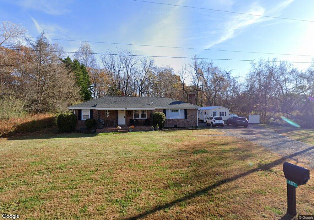
487 West Point Rd Lancaster, VA 22503
Estimated Value: $210,000 - $283,000
3
Beds
2
Baths
1,400
Sq Ft
$167/Sq Ft
Est. Value
About This Home
This home is located at 487 West Point Rd, Lancaster, VA 22503 and is currently estimated at $233,904, approximately $167 per square foot. 487 West Point Rd is a home located in Lancaster County with nearby schools including Lancaster Primary School, Lancaster Middle School, and Lancaster High School.
Ownership History
Date
Name
Owned For
Owner Type
Purchase Details
Closed on
Oct 4, 2023
Sold by
Hay-Be Corporation
Bought by
Boccasile David M and Curley Wendy S
Current Estimated Value
Home Financials for this Owner
Home Financials are based on the most recent Mortgage that was taken out on this home.
Original Mortgage
$174,600
Outstanding Balance
$170,566
Interest Rate
7.18%
Mortgage Type
New Conventional
Estimated Equity
$63,338
Create a Home Valuation Report for This Property
The Home Valuation Report is an in-depth analysis detailing your home's value as well as a comparison with similar homes in the area
Purchase History
| Date | Buyer | Sale Price | Title Company |
|---|---|---|---|
| Boccasile David M | $194,000 | Universal Title |
Source: Public Records
Mortgage History
| Date | Status | Borrower | Loan Amount |
|---|---|---|---|
| Open | Boccasile David M | $174,600 |
Source: Public Records
Tax History
| Year | Tax Paid | Tax Assessment Tax Assessment Total Assessment is a certain percentage of the fair market value that is determined by local assessors to be the total taxable value of land and additions on the property. | Land | Improvement |
|---|---|---|---|---|
| 2025 | $1,148 | $208,800 | $17,000 | $191,800 |
| 2024 | $1,148 | $208,800 | $17,000 | $191,800 |
| 2023 | $641 | $101,700 | $13,500 | $88,200 |
| 2022 | $641 | $101,700 | $13,500 | $88,200 |
| 2021 | $641 | $101,700 | $13,500 | $88,200 |
| 2020 | $641 | $101,700 | $13,500 | $88,200 |
| 2019 | $641 | $101,700 | $13,500 | $88,200 |
| 2018 | $628 | $106,500 | $17,500 | $89,000 |
| 2017 | $628 | $106,500 | $17,500 | $89,000 |
| 2016 | -- | $106,500 | $17,500 | $89,000 |
| 2014 | -- | $0 | $0 | $0 |
| 2013 | -- | $0 | $0 | $0 |
Source: Public Records
Map
Nearby Homes
- 108.5 AC Buzzards Neck Rd
- 0 Buzzards Neck Rd Unit LotWP001
- Lot 4&5 Primerose Path
- 2A Browns Ln
- lot 5 Iberis Rd
- lot 4 Iberis Rd
- 85 Eagles Trace
- Lot 8 Field Trial Rd
- 792 Oak Hill Rd
- 2 Browns Ln
- 161A Hoecake Rd
- 0000 Hoecake Rd
- 3 Oak Point Dr
- 235 Oak Point Dr
- 555 Rio Vista
- 480 Level Green Rd
- Lot 188B Ottoman Ferry Rd
- 22D Eagles Trace
- 1.0+AC Eagles Trace
- 22D 70 Eagles Trace
- 487 W Point Rd
- 423 West Point Rd
- 436 West Point Rd
- 106 Up the Creek
- 00 W Point Rd
- 0 W Point Rd
- 2 Overlook Ct
- 8 Overlook Ct
- 124 W Point Rd
- 175 Hills Creek Rd
- 215 Hills Creek Rd
- 146 Hills Creek Rd
- 136 Overlook Ct
- 260 Hills Creek Rd
- 262 Hills Creek Rd
- Lot 9 Overlook Ct
- Lot 1 Overlook Ct
- 0 Overlook Ct
- Lot 8 Overlook Ct
- Lot 4 Overlook Ct
Your Personal Tour Guide
Ask me questions while you tour the home.