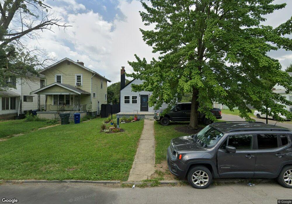
487 Whitethorne Ave Columbus, OH 43223
South Central Hilltop NeighborhoodEstimated Value: $124,000 - $161,000
3
Beds
1
Bath
1,175
Sq Ft
$121/Sq Ft
Est. Value
About This Home
This home is located at 487 Whitethorne Ave, Columbus, OH 43223 and is currently estimated at $142,287, approximately $121 per square foot. 487 Whitethorne Ave is a home located in Franklin County with nearby schools including West Mound Elementary School, Hilltonia Middle School, and Briggs High School.
Ownership History
Date
Name
Owned For
Owner Type
Purchase Details
Closed on
Mar 29, 1995
Sold by
Est Isabelle M Thompson
Bought by
Mark A Fisher
Current Estimated Value
Home Financials for this Owner
Home Financials are based on the most recent Mortgage that was taken out on this home.
Original Mortgage
$46,450
Interest Rate
8.91%
Mortgage Type
FHA
Create a Home Valuation Report for This Property
The Home Valuation Report is an in-depth analysis detailing your home's value as well as a comparison with similar homes in the area
Home Values in the Area
Average Home Value in this Area
Purchase History
| Date | Buyer | Sale Price | Title Company |
|---|---|---|---|
| Mark A Fisher | $46,900 | -- |
Source: Public Records
Mortgage History
| Date | Status | Borrower | Loan Amount |
|---|---|---|---|
| Closed | Mark A Fisher | $46,450 |
Source: Public Records
Tax History
| Year | Tax Paid | Tax Assessment Tax Assessment Total Assessment is a certain percentage of the fair market value that is determined by local assessors to be the total taxable value of land and additions on the property. | Land | Improvement |
|---|---|---|---|---|
| 2025 | $1,535 | $34,200 | $5,010 | $29,190 |
| 2024 | $1,535 | $34,200 | $5,010 | $29,190 |
| 2023 | $1,515 | $34,195 | $5,005 | $29,190 |
| 2022 | $808 | $15,580 | $1,930 | $13,650 |
| 2021 | $809 | $15,580 | $1,930 | $13,650 |
| 2020 | $811 | $15,580 | $1,930 | $13,650 |
| 2019 | $792 | $13,060 | $1,610 | $11,450 |
| 2018 | $934 | $13,060 | $1,610 | $11,450 |
| 2017 | $792 | $13,060 | $1,610 | $11,450 |
| 2016 | $1,187 | $17,920 | $4,200 | $13,720 |
| 2015 | $1,078 | $17,920 | $4,200 | $13,720 |
| 2014 | $1,080 | $17,920 | $4,200 | $13,720 |
| 2013 | $627 | $21,070 | $4,935 | $16,135 |
Source: Public Records
Map
Nearby Homes
- 530 Whitethorne Ave
- 485 Belvidere Ave
- 510 Belvidere Ave
- 561 Belvidere Ave
- 611 Whitethorne Ave
- 2023 Sullivant Ave Unit 2025
- 545-547 S Highland Ave Unit 545
- 329-331 Whitethorne Ave
- 538 S Wheatland Ave
- 2009 Sullivant Ave Unit 9
- 2182 Homewood Ave
- 2247 Safford Ave
- 543 Hilltonia Ave
- 283 Whitethorne Ave
- 542 S Oakley Ave
- 558 S Oakley Ave Unit 60
- 271 Midland Ave
- 346 S Wheatland Ave
- 479 Nashoba Ave
- 302 S Highland Ave Unit 306
- 491 Whitethorne Ave
- 495 Whitethorne Ave
- 477 Whitethorne Ave
- 499 Whitethorne Ave
- 2177 Union Ave
- 2181 Union Ave
- 467-469 Whitethorne Ave
- 507 Whitethorne Ave
- 467 Whitethorne Ave
- 2178 Union Ave
- 488 Whitethorne Ave
- 463 Whitethorne Ave
- 2182 Union Ave
- 2185 Union Ave
- 513 Whitethorne Ave
- 492 Whitethorne Ave
- 498 Whitethorne Ave
- 2188 Union Ave
- 478 Whitethorne Ave
- 474 Whitethorne Ave
Your Personal Tour Guide
Ask me questions while you tour the home.