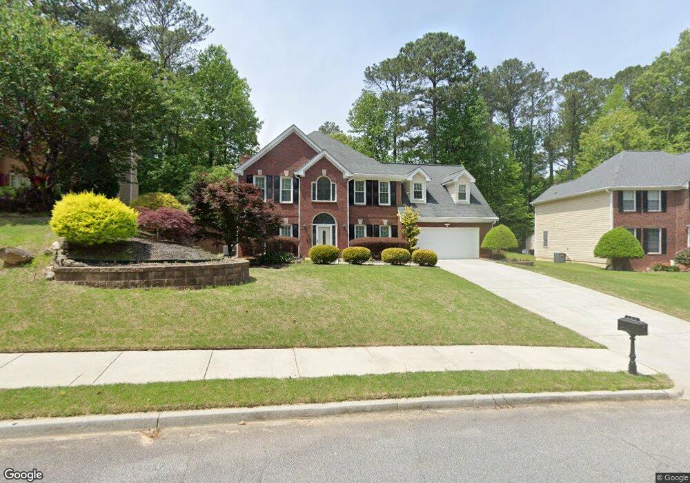
487 Wynbrooke Pkwy Unit 1 Stone Mountain, GA 30087
Estimated Value: $329,000 - $360,000
3
Beds
3
Baths
2,952
Sq Ft
$116/Sq Ft
Est. Value
About This Home
This home is located at 487 Wynbrooke Pkwy Unit 1, Stone Mountain, GA 30087 and is currently estimated at $342,415, approximately $115 per square foot. 487 Wynbrooke Pkwy Unit 1 is a home located in DeKalb County with nearby schools including Pine Ridge Elementary School, Stephenson Middle School, and Stephenson High School.
Ownership History
Date
Name
Owned For
Owner Type
Purchase Details
Closed on
Aug 23, 1999
Sold by
Barge Charlotte L
Bought by
Kitt Henry and Kitt Karlane
Current Estimated Value
Home Financials for this Owner
Home Financials are based on the most recent Mortgage that was taken out on this home.
Original Mortgage
$115,000
Outstanding Balance
$34,598
Interest Rate
8.25%
Mortgage Type
New Conventional
Estimated Equity
$307,817
Create a Home Valuation Report for This Property
The Home Valuation Report is an in-depth analysis detailing your home's value as well as a comparison with similar homes in the area
Home Values in the Area
Average Home Value in this Area
Purchase History
| Date | Buyer | Sale Price | Title Company |
|---|---|---|---|
| Kitt Henry | $165,000 | -- |
Source: Public Records
Mortgage History
| Date | Status | Borrower | Loan Amount |
|---|---|---|---|
| Open | Kitt Henry | $115,000 |
Source: Public Records
Tax History Compared to Growth
Tax History
| Year | Tax Paid | Tax Assessment Tax Assessment Total Assessment is a certain percentage of the fair market value that is determined by local assessors to be the total taxable value of land and additions on the property. | Land | Improvement |
|---|---|---|---|---|
| 2025 | $1,144 | $136,240 | $16,000 | $120,240 |
| 2024 | $1,250 | $136,840 | $16,000 | $120,840 |
| 2023 | $1,250 | $135,840 | $10,280 | $125,560 |
| 2022 | $1,179 | $119,960 | $10,280 | $109,680 |
| 2021 | $1,179 | $92,360 | $10,280 | $82,080 |
| 2020 | $1,155 | $83,800 | $10,280 | $73,520 |
| 2019 | $1,038 | $75,880 | $10,280 | $65,600 |
| 2018 | $882 | $67,880 | $10,280 | $57,600 |
| 2017 | $983 | $65,080 | $10,280 | $54,800 |
| 2016 | $907 | $63,000 | $10,280 | $52,720 |
| 2014 | $695 | $47,440 | $10,280 | $37,160 |
Source: Public Records
Map
Nearby Homes
- 6885 Almont Cove
- 7039 Rockbridge Rd
- 6908 Registry Chase
- 381 Registry Bluff
- 467 Pineburr Ln
- 480 Pineburr Ln
- 416 Pineburr Ln
- 460 Heathrow Way
- 500 Chimney House Ct
- 415 N Deshong Rd
- 401 N Deshong Rd
- 698 Deer Lake Trail
- 724 Eastwood Rise
- 525 Crestwood Ct
- 606 Shadow Oaks Dr
- 732 Mountain Oaks Pkwy
- 7049 Crestwood Place Unit 1
- 7129 Biltmore Way
- 392 Brookwater Ct
- 6744 Rockbridge Rd
- 479 Wynbrooke Pkwy
- 493 Wynbrooke Pkwy
- 6807 Wynbrooke Cove Unit I
- 604 Wynbrooke Pkwy
- 6815 Wynbrooke Cove Unit 1
- 499 Wynbrooke Pkwy
- 6801 Wynbrooke Cove Unit 6801
- 6801 Wynbrooke Cove
- 6801 Wynbrooke Cove Unit 1
- 6821 Wynbrooke Cove
- 494 Wynbrooke Pkwy
- 494 Wynbrooke Pkwy Unit .
- 484 Wynbrooke Pkwy Unit I
- 507 Wynbrooke Pkwy
- 463 Wynbrooke Pkwy
- 6793 Wynbrooke Cove
- 6829 Wynbrooke Cove
- 478 Wynbrooke Pkwy
- 502 Wynbrooke Pkwy
- 6804 Wynbrooke Cove Unit I