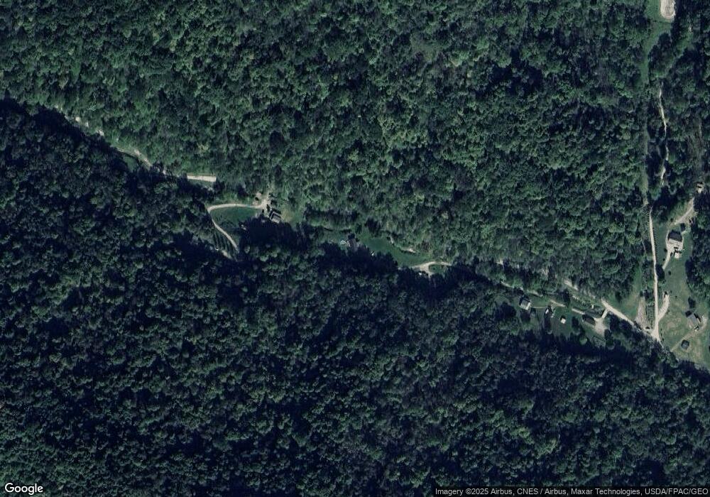
48701 Narrows Run Rd Sardis, OH 43946
Estimated Value: $68,477 - $110,000
--
Bed
1
Bath
884
Sq Ft
$98/Sq Ft
Est. Value
About This Home
This home is located at 48701 Narrows Run Rd, Sardis, OH 43946 and is currently estimated at $86,369, approximately $97 per square foot. 48701 Narrows Run Rd is a home located in Monroe County with nearby schools including River Elementary School and River High School.
Ownership History
Date
Name
Owned For
Owner Type
Purchase Details
Closed on
Jul 28, 2021
Sold by
Pyles John V and Pyles Tracy J
Bought by
Mccon Larry A and Mccon Kristy J
Current Estimated Value
Purchase Details
Closed on
Jan 9, 2018
Sold by
Huffman Deloris Ann
Bought by
Pyles John V and Pyles Tracy J
Home Financials for this Owner
Home Financials are based on the most recent Mortgage that was taken out on this home.
Original Mortgage
$38,000
Interest Rate
3.94%
Mortgage Type
Purchase Money Mortgage
Purchase Details
Closed on
Aug 7, 2017
Bought by
Deloris A Huffman and Huffman
Create a Home Valuation Report for This Property
The Home Valuation Report is an in-depth analysis detailing your home's value as well as a comparison with similar homes in the area
Home Values in the Area
Average Home Value in this Area
Purchase History
| Date | Buyer | Sale Price | Title Company |
|---|---|---|---|
| Mccon Larry A | $45,000 | None Available | |
| Pyles John V | $35,000 | None Available | |
| Deloris A Huffman | -- | -- |
Source: Public Records
Mortgage History
| Date | Status | Borrower | Loan Amount |
|---|---|---|---|
| Previous Owner | Pyles John V | $38,000 |
Source: Public Records
Tax History Compared to Growth
Tax History
| Year | Tax Paid | Tax Assessment Tax Assessment Total Assessment is a certain percentage of the fair market value that is determined by local assessors to be the total taxable value of land and additions on the property. | Land | Improvement |
|---|---|---|---|---|
| 2024 | $546 | $17,810 | $6,120 | $11,690 |
| 2023 | $546 | $17,810 | $6,120 | $11,690 |
| 2022 | $546 | $17,810 | $6,120 | $11,690 |
| 2021 | $510 | $16,450 | $5,180 | $11,270 |
| 2020 | $506 | $16,450 | $5,180 | $11,270 |
| 2019 | $502 | $16,450 | $5,180 | $11,270 |
| 2018 | $478 | $15,080 | $4,320 | $10,760 |
| 2017 | $469 | $15,080 | $4,320 | $10,760 |
| 2016 | $248 | $16,640 | $5,880 | $10,760 |
| 2015 | $166 | $13,760 | $4,540 | $9,220 |
| 2014 | $166 | $13,760 | $4,540 | $9,220 |
| 2013 | $164 | $13,360 | $4,410 | $8,950 |
Source: Public Records
Map
Nearby Homes
- 2 lots Main St
- 321 N 1st Ave
- 109 S 1st Ave
- 130 N 1st Ave
- 425 S 3rd Ave
- 731 N 4th Ave
- 123 Boston St
- 301 E Main St
- 104 E Pollock St
- 0 Above Rt 2 at Forbes & Energy Hwy Unit 138670
- 617 N 7th Ave
- 604 N 7th Ave
- 126 N 7th Ave
- 111 E Adams St
- 713 N 8th Ave
- 914 Meadow Heights
- 48375 Benwood Rd
- 37020 Monroe St
- 37283 Border St
- 37370 5th Ave
- 48665 Narrows Run Rd
- 48820 Narrows Run Rd
- 48631 Narrows Run Rd
- 48831 Narrows Run Rd
- 48523 Narrows Run Rd
- 48509 Narrows Run Rd
- 48415 Narrows Run Rd
- 48893 Narrows Run Rd
- 48438 Narrows Run Rd
- 48975 Narrows Run Rd
- 49100 Narrows Run Rd
- 49116 Narrows Run Rd
- 36545 State Route 7
- 49126 Narrows Run Rd
- 36467 State Route 7
- 36443 State Route 7
- 36433 State Route 7
- 36577 State Route 7
- 48222 Narrows Run Rd
- 36399 State Route 7
