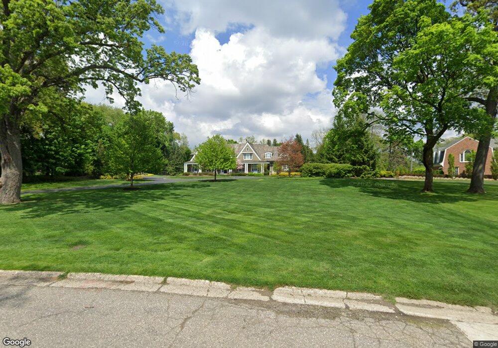
4871 N Harsdale Rd Bloomfield Hills, MI 48302
Estimated Value: $1,674,000 - $3,443,000
5
Beds
7
Baths
5,155
Sq Ft
$508/Sq Ft
Est. Value
About This Home
This home is located at 4871 N Harsdale Rd, Bloomfield Hills, MI 48302 and is currently estimated at $2,620,545, approximately $508 per square foot. 4871 N Harsdale Rd is a home located in Oakland County with nearby schools including South Hills Middle School, Way Elementary School, and Bloomfield Hills High School.
Ownership History
Date
Name
Owned For
Owner Type
Purchase Details
Closed on
Sep 1, 2022
Sold by
Lichtwardt Gregory E
Bought by
Eisenshtadt Jeffrey and Eisenshtadt Wendy
Current Estimated Value
Purchase Details
Closed on
Apr 20, 2012
Sold by
Batey Patricia C and Batey Gregory L
Bought by
Eisenshtadt Jeffrey K and Eisenshtadt Wendy E
Purchase Details
Closed on
Aug 1, 2005
Sold by
Pontes Pontes J and Pontes Susan
Bought by
Batey Gregory L and Batey Patricia C
Create a Home Valuation Report for This Property
The Home Valuation Report is an in-depth analysis detailing your home's value as well as a comparison with similar homes in the area
Home Values in the Area
Average Home Value in this Area
Purchase History
| Date | Buyer | Sale Price | Title Company |
|---|---|---|---|
| Eisenshtadt Jeffrey | -- | -- | |
| Eisenshtadt Jeffrey K | -- | Title Source Commercial | |
| Batey Gregory L | -- | Cambridge Title Company Llc |
Source: Public Records
Tax History Compared to Growth
Tax History
| Year | Tax Paid | Tax Assessment Tax Assessment Total Assessment is a certain percentage of the fair market value that is determined by local assessors to be the total taxable value of land and additions on the property. | Land | Improvement |
|---|---|---|---|---|
| 2024 | $51,242 | $2,047,030 | $0 | $0 |
| 2023 | $48,867 | $1,927,910 | $0 | $0 |
| 2022 | $54,626 | $1,684,030 | $0 | $0 |
| 2021 | $54,237 | $1,606,020 | $0 | $0 |
| 2020 | $26,585 | $1,578,770 | $0 | $0 |
| 2019 | $51,029 | $1,750,290 | $0 | $0 |
| 2018 | $51,263 | $1,749,480 | $0 | $0 |
| 2017 | $50,897 | $1,681,610 | $0 | $0 |
| 2016 | $57,835 | $1,648,110 | $0 | $0 |
| 2015 | -- | $1,235,680 | $0 | $0 |
| 2014 | -- | $315,160 | $0 | $0 |
| 2011 | -- | $329,190 | $0 | $0 |
Source: Public Records
Map
Nearby Homes
- 4650 Lahser Rd
- 1027 Joanne Ct
- 692 Bennington Dr
- 931 Vaughan Rd
- 5080 Tootmoor Rd
- 4255 Telegraph Rd
- 921 Pine Thistle Ln
- 801 W Long Lake Rd
- 5129 Woodlands Ln
- 5137 Woodlands Dr Unit 24
- 596 Rudgate Rd
- 00 Telegraph Rd
- 0 Telegraph Rd
- 3797 Burning Tree Dr
- 5008 Kings Gate Way
- 5100 Kings Gate Way
- 341 Keswick Rd
- 362 Keswick Rd
- 1348 Charrington Rd
- 830 N Pemberton Rd
- 4805 N Harsdale Rd
- 4885 N Harsdale Rd
- 859 Sunningdale Dr
- 875 Harsdale Rd
- 875 Harsdale Rd
- 4774 Stoneleigh Rd
- 4800 Stoneleigh Rd
- 4852 N Harsdale Rd
- 4801 N Harsdale Rd
- 860 Harsdale Rd
- 850 Harsdale Rd
- 4840 Stoneleigh Rd
- 4740 Stoneleigh Rd
- 840 Harsdale Rd Unit Bldg-Unit
- 840 Harsdale Rd
- 840 Harsdale Rd
- 880 Harsdale Rd
- 910 W Harsdale Rd
- 4821 N Harsdale Rd
- 4767 Stoneleigh Rd