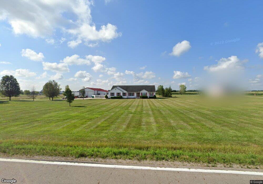
4871 State Route 316 W Ashville, OH 43103
Estimated Value: $470,000 - $618,000
4
Beds
3
Baths
2,564
Sq Ft
$218/Sq Ft
Est. Value
About This Home
This home is located at 4871 State Route 316 W, Ashville, OH 43103 and is currently estimated at $558,544, approximately $217 per square foot. 4871 State Route 316 W is a home located in Pickaway County.
Ownership History
Date
Name
Owned For
Owner Type
Purchase Details
Closed on
Oct 1, 2020
Sold by
Curry Crystal
Bought by
Curry Crystal and Curry Max E
Current Estimated Value
Home Financials for this Owner
Home Financials are based on the most recent Mortgage that was taken out on this home.
Original Mortgage
$300,000
Outstanding Balance
$265,906
Interest Rate
2.71%
Mortgage Type
New Conventional
Estimated Equity
$292,638
Purchase Details
Closed on
Feb 4, 2003
Sold by
Countrytyme Grove City
Bought by
Curry Crystal
Home Financials for this Owner
Home Financials are based on the most recent Mortgage that was taken out on this home.
Original Mortgage
$49,000
Interest Rate
7.5%
Mortgage Type
New Conventional
Create a Home Valuation Report for This Property
The Home Valuation Report is an in-depth analysis detailing your home's value as well as a comparison with similar homes in the area
Home Values in the Area
Average Home Value in this Area
Purchase History
| Date | Buyer | Sale Price | Title Company |
|---|---|---|---|
| Curry Crystal | -- | None Available | |
| Curry Crystal | $56,000 | -- |
Source: Public Records
Mortgage History
| Date | Status | Borrower | Loan Amount |
|---|---|---|---|
| Open | Curry Crystal | $300,000 | |
| Closed | Curry Crystal | $49,000 |
Source: Public Records
Tax History Compared to Growth
Tax History
| Year | Tax Paid | Tax Assessment Tax Assessment Total Assessment is a certain percentage of the fair market value that is determined by local assessors to be the total taxable value of land and additions on the property. | Land | Improvement |
|---|---|---|---|---|
| 2024 | -- | $165,590 | $37,170 | $128,420 |
| 2023 | $6,254 | $165,590 | $37,170 | $128,420 |
| 2022 | $4,997 | $119,950 | $24,810 | $95,140 |
| 2021 | $5,053 | $119,950 | $24,810 | $95,140 |
| 2020 | $5,055 | $119,950 | $24,810 | $95,140 |
| 2019 | $4,533 | $104,530 | $23,830 | $80,700 |
| 2018 | $4,188 | $104,530 | $23,830 | $80,700 |
| 2017 | $4,299 | $104,530 | $23,830 | $80,700 |
| 2016 | $3,983 | $96,630 | $21,370 | $75,260 |
| 2015 | $3,986 | $96,630 | $21,370 | $75,260 |
| 2014 | $3,990 | $96,630 | $21,370 | $75,260 |
| 2013 | $4,357 | $101,450 | $21,370 | $80,080 |
Source: Public Records
Map
Nearby Homes
- 4740 Ohio 316 Unit Tract 1
- 15360 State Route 104
- 13578 State Route 104
- 15953 State Route 104
- 5117 Harvest Ln
- 5104 Harvest Ln
- 5122 Harvest Ln
- 5327 Pear Ln
- 5310 Pear Ln Unit Lot 127
- Chestnut Plan at Day Farm
- Cooper Plan at Day Farm
- Bradford Plan at Day Farm
- Ironwood Plan at Day Farm
- Ashton Plan at Day Farm
- Empress Plan at Day Farm
- Norway Plan at Day Farm
- Spruce Plan at Day Farm
- Juniper Plan at Day Farm
- Palmetto Plan at Day Farm
- Aspen II Plan at Day Farm
- 14779 Gibson Rd
- 14701 Gibson Rd
- 4740 Ohio 316 Unit Tract 4
- 4740 Ohio 316 Unit Tract 3
- 4740 Ohio 316 Unit Tract 2
- 4740 Ohio 316
- 4943 State Route 316 W
- 4740 State Route 316 W
- 14801 Gibson Rd
- 14667 Gibson Rd
- 14680 Gibson Rd
- 14706 Gibson Rd
- 14857 Gibson Rd
- 14774 Gibson Rd
- 14909 Gibson Rd
- 4633 State Route 316 W
- 14792 Gibson Rd
- 14560 Gibson Rd
- 14941 Gibson Rd
- 4585 Ohio 316