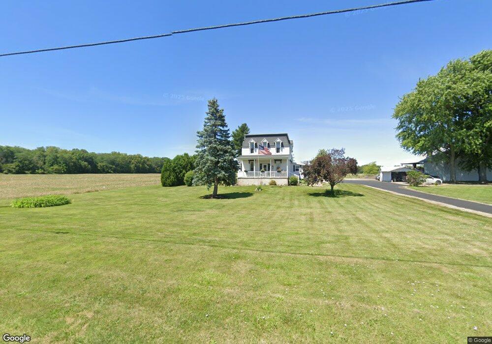
4874 Township Road 142 Findlay, OH 45840
Estimated Value: $507,000 - $693,378
4
Beds
4
Baths
2,918
Sq Ft
$200/Sq Ft
Est. Value
About This Home
This home is located at 4874 Township Road 142, Findlay, OH 45840 and is currently estimated at $583,845, approximately $200 per square foot. 4874 Township Road 142 is a home located in Hancock County with nearby schools including Van Buren Elementary School, Van Buren Middle School, and Van Buren High School.
Ownership History
Date
Name
Owned For
Owner Type
Purchase Details
Closed on
Mar 12, 2020
Sold by
Long David O and Long Ann C
Bought by
Long James D and Long Allison M
Current Estimated Value
Home Financials for this Owner
Home Financials are based on the most recent Mortgage that was taken out on this home.
Original Mortgage
$247,000
Outstanding Balance
$218,337
Interest Rate
3.4%
Mortgage Type
New Conventional
Estimated Equity
$365,508
Purchase Details
Closed on
Feb 5, 1993
Bought by
Long David O and Long Ann C
Create a Home Valuation Report for This Property
The Home Valuation Report is an in-depth analysis detailing your home's value as well as a comparison with similar homes in the area
Home Values in the Area
Average Home Value in this Area
Purchase History
| Date | Buyer | Sale Price | Title Company |
|---|---|---|---|
| Long James D | $353,000 | Mid Am Title Agency | |
| Long David O | -- | -- |
Source: Public Records
Mortgage History
| Date | Status | Borrower | Loan Amount |
|---|---|---|---|
| Open | Long James D | $247,000 |
Source: Public Records
Tax History Compared to Growth
Tax History
| Year | Tax Paid | Tax Assessment Tax Assessment Total Assessment is a certain percentage of the fair market value that is determined by local assessors to be the total taxable value of land and additions on the property. | Land | Improvement |
|---|---|---|---|---|
| 2024 | $6,029 | $189,830 | $17,190 | $172,640 |
| 2023 | $5,999 | $189,830 | $17,190 | $172,640 |
| 2022 | $6,005 | $189,830 | $17,190 | $172,640 |
| 2021 | $4,937 | $146,970 | $18,510 | $128,460 |
| 2020 | $2,696 | $80,290 | $18,510 | $61,780 |
| 2019 | $442 | $12,210 | $10,490 | $1,720 |
| 2018 | $332 | $9,210 | $7,490 | $1,720 |
| 2017 | $346 | $9,210 | $7,490 | $1,720 |
| 2016 | $322 | $9,210 | $7,490 | $1,720 |
| 2015 | $348 | $9,680 | $7,490 | $2,190 |
| 2014 | $399 | $10,950 | $7,490 | $3,460 |
| 2012 | $431 | $10,950 | $7,490 | $3,460 |
Source: Public Records
Map
Nearby Homes
- 0 Allen Township 142
- 0 Township Highway 99
- 12325 Township Highway 99
- 3815 Forest Trail Dr
- 1690 Deer Creek Dr
- 0 Bushwillow Dr Or Rock Candy Rd Unit Lot 157
- 0 Bearcat Way Or Rock Candy Rd Unit Lot 167
- 0 County Road 220 Unit 6111396
- 0 County Road 220 Unit 6111394
- 0 County Road 220 Unit 6111400
- 0 Rock Candy Rd Or Bushwillow Dr Unit Lot 173
- 0 Rock Candy Rd Unit Lot 159
- 0 Rock Candy Rd Unit Lot 170
- 0 Rock Candy Rd Unit Lot 172 206819
- 0 Rock Candy Rd Unit Lot 162
- 0 Rock Candy Rd Unit Lot 171
- 0 Rock Candy Rd Unit Lot 168
- 3410 Crosshill Dr
- 1310 Muirfield Dr
- 3321 Norcrest St
- 4874 Township Road 142
- 4988 Township Road 142
- 4571 Township Road 142
- 4571 Allen Township 142
- 11362 Township Road 100
- 11441 Township Road 100
- 11550 Township Road 100
- 0 County Road 99 North Lot 2
- 11609 Township Road 100
- 11660 Township Road 100
- 10672 County Road 99
- 10532 County Road 99
- 10608 County Road 99
- 0 County Rd 99 Unit 20215178
- 0 County Rd 99 Unit 20156633
- 0 County Rd 99 Unit 5097034
- 0 County Rd 99 Unit 99891
- 0 County Rd 99 Unit 6051070
- 0 County Rd 99 Unit 131562
- 10638 County Road 99