48753 N Log Ln Unit 874 Seligman, AZ 86337
Estimated Value: $26,335 - $53,000
--
Bed
--
Bath
--
Sq Ft
41.15
Acres
About This Home
This home is located at 48753 N Log Ln Unit 874, Seligman, AZ 86337 and is currently estimated at $36,112. 48753 N Log Ln Unit 874 is a home located in Yavapai County with nearby schools including Seligman Elementary School and Seligman High School.
Ownership History
Date
Name
Owned For
Owner Type
Purchase Details
Closed on
Aug 11, 2022
Sold by
Trust 8184 and 1St American Title Insurance C
Bought by
Trust 8184 and Pioneer Title Agency Inc
Current Estimated Value
Purchase Details
Closed on
Dec 16, 2020
Sold by
Schreck Kerry D and Schreck Karen A
Bought by
Cook Jeffrey and Cook Heather
Purchase Details
Closed on
Feb 4, 2016
Sold by
Shields Stephen K and Sheilds Steve K
Bought by
Schreck Kerry D and Schreck Karen
Purchase Details
Closed on
Jul 7, 2008
Sold by
Vaughn Tyler J and Eaton Vaugh Deborah Anne
Bought by
Shields Stephen K
Purchase Details
Closed on
Nov 21, 2005
Sold by
Walker Mike Alvin
Bought by
Eaton Vaughn Tyler J and Eaton Vaughn Deborah Ann
Purchase Details
Closed on
Mar 21, 2000
Sold by
First American Title Insurance Co
Bought by
Walker Mike Alvin
Create a Home Valuation Report for This Property
The Home Valuation Report is an in-depth analysis detailing your home's value as well as a comparison with similar homes in the area
Home Values in the Area
Average Home Value in this Area
Purchase History
| Date | Buyer | Sale Price | Title Company |
|---|---|---|---|
| Trust 8184 | -- | First American Title | |
| Cook Jeffrey | $20,000 | Pioneer Title Agency | |
| Schreck Kerry D | $25,000 | Pioneer Title Agency | |
| Shields Stephen K | $68,000 | Transnation Title Ins Co | |
| Eaton Vaughn Tyler J | $45,000 | First American Title Ins | |
| Walker Mike Alvin | -- | First American Title Ins |
Source: Public Records
Tax History Compared to Growth
Tax History
| Year | Tax Paid | Tax Assessment Tax Assessment Total Assessment is a certain percentage of the fair market value that is determined by local assessors to be the total taxable value of land and additions on the property. | Land | Improvement |
|---|---|---|---|---|
| 2026 | $369 | -- | -- | -- |
| 2024 | $357 | -- | -- | -- |
| 2023 | $357 | $5,357 | $5,357 | $0 |
| 2022 | $336 | $3,886 | $3,886 | $0 |
| 2021 | $336 | $3,925 | $3,925 | $0 |
| 2020 | $333 | $0 | $0 | $0 |
| 2019 | $391 | $0 | $0 | $0 |
| 2018 | $421 | $0 | $0 | $0 |
| 2017 | $430 | $0 | $0 | $0 |
| 2016 | $421 | $0 | $0 | $0 |
| 2015 | -- | $0 | $0 | $0 |
| 2014 | -- | $0 | $0 | $0 |
Source: Public Records
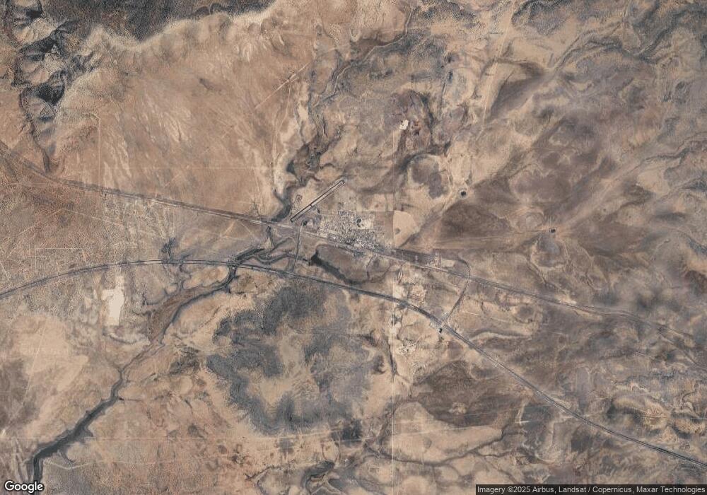
Map
Nearby Homes
- Unnamed Rd
- Xxx Off Jolly Rd
- XXXX Cross Mountain Rd
- 0 N Parcel #301-10-230-1557 -- Unit 1557 6867622
- 00 W Flowers Rd
- 160 Acres N
- 52 Crow St
- 38650 W Flowers Rd Unit 2248
- 40670 W Scout Trail
- 21095 E Mckenzie Dr
- 0000 Fort Rock Rd
- 38701 Tin Star Trail
- 37495 W Fort Rock Rd Unit 922
- 47683 N Deadwood Dr
- 1270-D Along Way
- 1270-A Along Way
- 1270-B Along Way
- 1270-C Along Way
- 36845 W Thirsty Burros Rd
- 0 High Mountain Unit 13732