4876 Highway 66 Ashland, OR 97520
Estimated Value: $282,000 - $378,000
1
Bed
1
Bath
2,425
Sq Ft
$130/Sq Ft
Est. Value
About This Home
This home is located at 4876 Highway 66, Ashland, OR 97520 and is currently estimated at $315,064, approximately $129 per square foot. 4876 Highway 66 is a home located in Jackson County with nearby schools including Bellview Elementary School, Ashland Middle School, and Ashland High School.
Ownership History
Date
Name
Owned For
Owner Type
Purchase Details
Closed on
Feb 11, 2021
Sold by
Garloff John L F and Samel Garloff Mori
Bought by
Mohn Rentals Llc
Current Estimated Value
Purchase Details
Closed on
Nov 11, 2003
Sold by
Vallejo Tom
Bought by
Garloff John L F and Samei Garloff Mori D
Home Financials for this Owner
Home Financials are based on the most recent Mortgage that was taken out on this home.
Original Mortgage
$100,000
Interest Rate
5.89%
Mortgage Type
Purchase Money Mortgage
Purchase Details
Closed on
Oct 27, 2003
Sold by
Central Equipment Profit Sharing Plan
Bought by
Vallejo Tom
Home Financials for this Owner
Home Financials are based on the most recent Mortgage that was taken out on this home.
Original Mortgage
$100,000
Interest Rate
5.89%
Mortgage Type
Purchase Money Mortgage
Purchase Details
Closed on
Aug 27, 2002
Sold by
Vallejo Tom
Bought by
Central Equipment Profit Sharing Plan
Create a Home Valuation Report for This Property
The Home Valuation Report is an in-depth analysis detailing your home's value as well as a comparison with similar homes in the area
Home Values in the Area
Average Home Value in this Area
Purchase History
| Date | Buyer | Sale Price | Title Company |
|---|---|---|---|
| Mohn Rentals Llc | -- | None Available | |
| Garloff John L F | $141,000 | First American | |
| Vallejo Tom | -- | First American Title Ins Co | |
| Central Equipment Profit Sharing Plan | -- | Jackson County Title Divisio |
Source: Public Records
Mortgage History
| Date | Status | Borrower | Loan Amount |
|---|---|---|---|
| Previous Owner | Garloff John L F | $100,000 |
Source: Public Records
Tax History Compared to Growth
Tax History
| Year | Tax Paid | Tax Assessment Tax Assessment Total Assessment is a certain percentage of the fair market value that is determined by local assessors to be the total taxable value of land and additions on the property. | Land | Improvement |
|---|---|---|---|---|
| 2025 | $1,347 | $90,950 | $43,780 | $47,170 |
| 2024 | $1,347 | $88,310 | $77,210 | $11,100 |
| 2023 | $1,305 | $85,740 | $74,970 | $10,770 |
| 2022 | $1,199 | $85,740 | $74,970 | $10,770 |
| 2021 | $1,157 | $83,250 | $72,790 | $10,460 |
| 2020 | $1,125 | $80,830 | $70,670 | $10,160 |
| 2019 | $1,100 | $76,200 | $66,630 | $9,570 |
| 2018 | $1,039 | $73,990 | $64,700 | $9,290 |
| 2017 | $1,034 | $73,990 | $64,700 | $9,290 |
| 2016 | $1,010 | $69,750 | $60,990 | $8,760 |
| 2015 | $978 | $69,750 | $60,990 | $8,760 |
| 2014 | $945 | $65,750 | $57,500 | $8,250 |
Source: Public Records
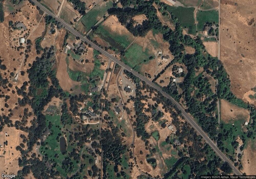
Map
Nearby Homes
- 4890 Highway 66
- 240 Mobile Dr
- 855 Reiten Dr
- 420 Reiten Dr
- 4260 Clayton Rd
- 700 Neil Creek Rd
- 0 Timberlake Dr Unit 391E25 132 220208170
- 3721 Siskiyou Blvd
- 899 Timberlake Dr
- 694 Timberlake Dr
- 448 Timberlake Dr
- 1999 Tolman Creek Rd
- 3152 Siskiyou Blvd
- 288 Maywood Way
- 376 Crowson Rd
- 3345 Highway 66
- 3345 Hwy 66 Hwy
- 488 Crowson Rd
- 938 Cypress Point Loop
- 2799 Siskiyou Blvd Unit 7
- 4876 Hwy 66
- 4878 Highway 66
- 4840 Highway 66
- 4840 Highway 66
- 4882 Oregon 66
- 4882 Highway 66
- 5055 Highway 66
- 4860 Highway 66
- 4860 Oregon 66
- 4923 Highway 66
- 4780 Highway 66
- 4780 Hwy 66
- 4861 Highway 66
- 4757 E Highway 66
- 4884 Highway 66
- 5287 Highway 66
- 4723 Highway 66
- 4735 Highway 66
- 4720 Highway 66
- 4886 Highway 66