4877 Westwind Dr Dexter, MI 48130
Estimated Value: $532,206 - $647,000
4
Beds
3
Baths
2,896
Sq Ft
$196/Sq Ft
Est. Value
About This Home
This home is located at 4877 Westwind Dr, Dexter, MI 48130 and is currently estimated at $566,802, approximately $195 per square foot. 4877 Westwind Dr is a home located in Washtenaw County with nearby schools including Bates Elementary School, Creekside Intermediate School, and Anchor Elementary School.
Ownership History
Date
Name
Owned For
Owner Type
Purchase Details
Closed on
Mar 21, 2018
Sold by
Uren William C and Uren Rebecca L
Bought by
Uren William C and Uren Rebecca L
Current Estimated Value
Purchase Details
Closed on
Sep 29, 1994
Sold by
Anderson William G
Bought by
Uren William C and Uren Rebecca L
Home Financials for this Owner
Home Financials are based on the most recent Mortgage that was taken out on this home.
Original Mortgage
$113,200
Interest Rate
8%
Mortgage Type
New Conventional
Create a Home Valuation Report for This Property
The Home Valuation Report is an in-depth analysis detailing your home's value as well as a comparison with similar homes in the area
Home Values in the Area
Average Home Value in this Area
Purchase History
| Date | Buyer | Sale Price | Title Company |
|---|---|---|---|
| Uren William C | -- | None Available | |
| Uren William C | -- | -- |
Source: Public Records
Mortgage History
| Date | Status | Borrower | Loan Amount |
|---|---|---|---|
| Closed | Uren William C | $113,200 |
Source: Public Records
Tax History
| Year | Tax Paid | Tax Assessment Tax Assessment Total Assessment is a certain percentage of the fair market value that is determined by local assessors to be the total taxable value of land and additions on the property. | Land | Improvement |
|---|---|---|---|---|
| 2025 | $1,533 | $234,000 | $0 | $0 |
| 2024 | $1,489 | $215,000 | $0 | $0 |
| 2023 | $5,107 | $197,100 | $0 | $0 |
| 2022 | $4,877 | $191,000 | $0 | $0 |
| 2021 | $4,679 | $178,600 | $0 | $0 |
| 2020 | $4,620 | $173,000 | $0 | $0 |
| 2019 | $4,502 | $163,300 | $163,300 | $0 |
| 2018 | $4,439 | $158,900 | $20,800 | $138,100 |
| 2017 | $4,251 | $158,900 | $0 | $0 |
| 2016 | $1,220 | $114,759 | $0 | $0 |
| 2015 | -- | $114,416 | $0 | $0 |
| 2014 | -- | $110,842 | $0 | $0 |
| 2013 | -- | $110,842 | $0 | $0 |
Source: Public Records
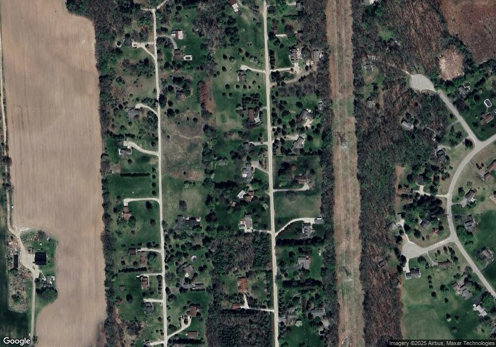
Map
Nearby Homes
- 4975 Westwind Dr
- 6441 Huron Creek Ct
- 10962 Margaret Etta
- 5862 Tyler Ct
- 5876 Tyler Ct
- 10146 Island Lake Rd
- 10265 Island Lake Rd
- 11490 Castleton Ct
- 11610 Hillside Dr
- 11655 Hillside Dr
- 6450 Earl June Ct
- 6470 Earl June Ct
- 6525 Earl June Ct
- 11760 Hillside Dr
- 11780 Hillside Dr
- 12385 Island Lake Rd
- 8044 Dexter-Pinckney Rd
- 7700 Chamberlin Rd
- 12627 N Territorial Rd
- 8180 Main St Unit 102
- 4849 Westwind Dr
- 4933 Westwind Dr
- 0 Westwind Dr
- 4815 Westwind Dr
- 4949 Westwind Dr
- 4868 Westwind Dr
- 4932 Westwind Dr
- 4832 Westwind Dr
- 4750 Birch Ln
- 4810 Westwind Dr
- 4920 Birch Ln
- 4950 Westwind Dr
- 4857 Birch Ln
- 4748 Birch Ln
- 4790 Westwind Dr
- 4747 Westwind Dr
- 4825 Birch Ln
- 4889 Birch Ln
- 4957 Birch Ln
- 4988 Westwind Dr
Your Personal Tour Guide
Ask me questions while you tour the home.