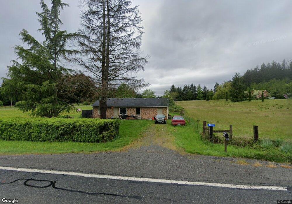
4878 State Route 9 Sedro Woolley, WA 98284
Estimated Value: $353,000 - $506,000
2
Beds
2
Baths
1,134
Sq Ft
$371/Sq Ft
Est. Value
About This Home
This home is located at 4878 State Route 9, Sedro Woolley, WA 98284 and is currently estimated at $420,742, approximately $371 per square foot. 4878 State Route 9 is a home located in Skagit County with nearby schools including Sedro-Woolley Senior High School.
Ownership History
Date
Name
Owned For
Owner Type
Purchase Details
Closed on
Jun 24, 2013
Sold by
Bumgarner Jeffrey
Bought by
Dibiase Jeanette R
Current Estimated Value
Purchase Details
Closed on
Jan 20, 2011
Sold by
Silvia John P and Silvia Alison
Bought by
Bumgarner Jeffrey D
Home Financials for this Owner
Home Financials are based on the most recent Mortgage that was taken out on this home.
Original Mortgage
$83,300
Interest Rate
4.82%
Create a Home Valuation Report for This Property
The Home Valuation Report is an in-depth analysis detailing your home's value as well as a comparison with similar homes in the area
Home Values in the Area
Average Home Value in this Area
Purchase History
| Date | Buyer | Sale Price | Title Company |
|---|---|---|---|
| Dibiase Jeanette R | $91,073 | None Available | |
| Bumgarner Jeffrey D | $81,280 | Chicago Title Company |
Source: Public Records
Mortgage History
| Date | Status | Borrower | Loan Amount |
|---|---|---|---|
| Previous Owner | Bumgarner Jeffrey D | $83,300 |
Source: Public Records
Tax History Compared to Growth
Tax History
| Year | Tax Paid | Tax Assessment Tax Assessment Total Assessment is a certain percentage of the fair market value that is determined by local assessors to be the total taxable value of land and additions on the property. | Land | Improvement |
|---|---|---|---|---|
| 2024 | $2,737 | $305,300 | $210,100 | $95,200 |
| 2023 | $2,737 | $287,800 | $193,000 | $94,800 |
| 2022 | $2,426 | $269,800 | $179,500 | $90,300 |
| 2021 | $2,145 | $212,500 | $137,000 | $75,500 |
| 2020 | $2,018 | $174,400 | $0 | $0 |
| 2019 | $1,467 | $169,000 | $0 | $0 |
| 2018 | $1,665 | $142,100 | $0 | $0 |
| 2017 | $1,446 | $125,200 | $0 | $0 |
| 2016 | $1,457 | $108,700 | $69,700 | $39,000 |
| 2015 | $1,397 | $104,700 | $69,700 | $35,000 |
| 2013 | $1,740 | $97,200 | $0 | $0 |
Source: Public Records
Map
Nearby Homes
- 23404 Prairie Rd
- 4776 Prairie Ln
- 22484 Grip Rd
- 7311 State Route 9
- 6948 Howell Ln
- 22788 Grip Rd
- 7203 Erna Ln
- 0 262XX Helmick Rd
- 1537 E Gateway Heights Loop
- 26204 Helmick Rd
- 5353 Wildlife Acres Ln
- 20756 Prairie Rd
- 1479 W Gateway Heights Loop
- 7654 Renic Dr
- 1422 Porto Bello Ave
- 7514 Avalon Heights Way
- 7833 Renic Dr
- 918 Marie Place
- 426 Longtime Ln
- 7583 Avalon Heights Way
- 4501 Washington 9
- 4804 State Route 9
- 4824 State Route 9
- 4770 State Route 9
- 23850 Terrell Ln
- 23942 Thornwood Place
- 5058 State Route 9
- 4704 State Route 9
- 4694 State Route 9
- 5118 State Route 9
- 5047 Aerie Ln
- 5051 Aerie Ln
- 23806 Thornwood Place
- 5046 Aerie Ln
- 4628 State Route 9
- 5057 Aerie Ln
- 5122 State Route 9
- 5071 Aerie Ln
- 5168 State Route 9
- 23806 Terrell Ln