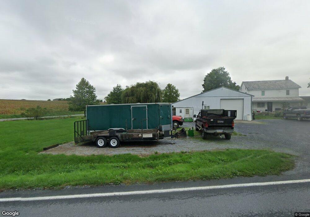
4879 Manheim Rd Waynesboro, PA 17268
Estimated Value: $168,924 - $302,000
--
Bed
--
Bath
1,892
Sq Ft
$134/Sq Ft
Est. Value
About This Home
This home is located at 4879 Manheim Rd, Waynesboro, PA 17268 and is currently estimated at $252,981, approximately $133 per square foot. 4879 Manheim Rd is a home located in Franklin County with nearby schools including Waynesboro Area Senior High School, Providence School - Pigeon Hill Building, and Providence School - Oak Hill Building.
Ownership History
Date
Name
Owned For
Owner Type
Purchase Details
Closed on
May 23, 2012
Sold by
Pryor Brian F
Bought by
Peck Alan A and Peck Erica Jo
Current Estimated Value
Home Financials for this Owner
Home Financials are based on the most recent Mortgage that was taken out on this home.
Original Mortgage
$117,000
Outstanding Balance
$80,491
Interest Rate
3.75%
Mortgage Type
Adjustable Rate Mortgage/ARM
Estimated Equity
$172,490
Purchase Details
Closed on
Jan 10, 2011
Sold by
Peck Helen J and Peck Gregory E
Bought by
Pryor Brian E
Home Financials for this Owner
Home Financials are based on the most recent Mortgage that was taken out on this home.
Original Mortgage
$113,600
Interest Rate
4.46%
Mortgage Type
Purchase Money Mortgage
Create a Home Valuation Report for This Property
The Home Valuation Report is an in-depth analysis detailing your home's value as well as a comparison with similar homes in the area
Home Values in the Area
Average Home Value in this Area
Purchase History
| Date | Buyer | Sale Price | Title Company |
|---|---|---|---|
| Peck Alan A | $115,856 | None Available | |
| Pryor Brian E | $120,000 | None Available |
Source: Public Records
Mortgage History
| Date | Status | Borrower | Loan Amount |
|---|---|---|---|
| Open | Peck Alan A | $117,000 | |
| Previous Owner | Pryor Brian E | $113,600 |
Source: Public Records
Tax History Compared to Growth
Tax History
| Year | Tax Paid | Tax Assessment Tax Assessment Total Assessment is a certain percentage of the fair market value that is determined by local assessors to be the total taxable value of land and additions on the property. | Land | Improvement |
|---|---|---|---|---|
| 2025 | $1,237 | $8,480 | $2,150 | $6,330 |
| 2024 | $1,199 | $8,480 | $2,150 | $6,330 |
| 2023 | $1,166 | $8,480 | $2,150 | $6,330 |
| 2022 | $1,132 | $8,480 | $2,150 | $6,330 |
| 2021 | $1,098 | $8,480 | $2,150 | $6,330 |
| 2020 | $1,098 | $8,480 | $2,150 | $6,330 |
| 2019 | $1,073 | $8,480 | $2,150 | $6,330 |
| 2018 | $1,037 | $8,480 | $2,150 | $6,330 |
| 2017 | $1,014 | $8,480 | $2,150 | $6,330 |
| 2016 | $243 | $8,480 | $2,150 | $6,330 |
| 2015 | $226 | $8,480 | $2,150 | $6,330 |
| 2014 | $226 | $8,480 | $2,150 | $6,330 |
Source: Public Records
Map
Nearby Homes
- 5434 Manheim Rd
- 6456 Wayne Hwy
- 7468 Anthony Hwy
- 6159 Orphanage Rd
- 8655 Wayne Hwy
- 286 Verdier St
- 5118 Burkholder Rd
- 6 S Main St
- 207 University Dr
- 111 Poplar St
- 8652 Mormon Church Rd
- 8620 Monns Gap Rd
- 5490 Honey Rock Ct
- 1921 Hartzok Rd
- 6158 Merion Dr
- 7205 Fairway Dr S
- 2582 Guilford Station Rd
- 3919 Church Rd
- 3891 Alfalfa Ln
- 3881 Farmstead Dr
- 4939 Manheim Rd
- 4986 Manheim Rd
- 4986 Manheim Rd
- 4904 Manheim Rd
- 5076 Manheim Rd
- 5098 Manheim Rd
- 7351 Buttermilk Rd
- 5116 Manheim Rd
- 5140 Manheim Rd
- 7336 Buttermilk Rd
- 7641 Burkholder Rd
- 7320 Buttermilk Rd
- 5166 Manheim Rd
- 7302 Buttermilk Rd
- 7785 Burkholder Rd
- 7282 Buttermilk Rd
- 5204 Manheim Rd
- 7370 Buttermilk Rd
- 4626 Manheim Rd
- 7260 Buttermilk Rd