488 Colvard Farms Rd Durham, NC 27713
Estimated Value: $1,898,000 - $2,083,161
4
Beds
5
Baths
5,464
Sq Ft
$365/Sq Ft
Est. Value
About This Home
This home is located at 488 Colvard Farms Rd, Durham, NC 27713 and is currently estimated at $1,994,290, approximately $364 per square foot. 488 Colvard Farms Rd is a home located in Durham County with nearby schools including Lowe's Grove Middle, Hillside High School, and Southpoint Academy.
Ownership History
Date
Name
Owned For
Owner Type
Purchase Details
Closed on
Oct 2, 2023
Sold by
Seven Five One Investments Llc
Bought by
Pleasant Garden Llc
Current Estimated Value
Purchase Details
Closed on
Dec 6, 2019
Sold by
Millennium Commercial Properties Llc
Bought by
Colvard Farms Development Company Llc
Purchase Details
Closed on
Dec 30, 1999
Sold by
Uap/Ga Ag Chem Inc
Bought by
Millennium Commercial Properties Llc
Create a Home Valuation Report for This Property
The Home Valuation Report is an in-depth analysis detailing your home's value as well as a comparison with similar homes in the area
Home Values in the Area
Average Home Value in this Area
Purchase History
| Date | Buyer | Sale Price | Title Company |
|---|---|---|---|
| Pleasant Garden Llc | $2,000,000 | None Listed On Document | |
| Pleasant Garden Llc | $2,000,000 | None Listed On Document | |
| Colvard Farms Development Company Llc | -- | None Available | |
| Millennium Commercial Properties Llc | $325,500 | -- |
Source: Public Records
Tax History Compared to Growth
Tax History
| Year | Tax Paid | Tax Assessment Tax Assessment Total Assessment is a certain percentage of the fair market value that is determined by local assessors to be the total taxable value of land and additions on the property. | Land | Improvement |
|---|---|---|---|---|
| 2025 | $12,227 | $1,860,640 | $721,600 | $1,139,040 |
| 2024 | $10,961 | $1,144,923 | $387,648 | $757,275 |
| 2023 | $10,569 | $1,144,923 | $387,648 | $757,275 |
| 2022 | $10,303 | $1,144,923 | $387,648 | $757,275 |
| 2021 | $10,042 | $1,144,923 | $387,648 | $757,275 |
| 2020 | $9,813 | $1,144,923 | $387,648 | $757,275 |
| 2019 | $9,783 | $1,154,895 | $397,620 | $757,275 |
| 2018 | $9,604 | $1,040,487 | $374,034 | $666,453 |
| 2017 | $9,292 | $1,040,487 | $374,034 | $666,453 |
| 2016 | $9,005 | $1,040,487 | $374,034 | $666,453 |
| 2015 | $6,800 | $721,603 | $222,921 | $498,682 |
| 2014 | $6,681 | $721,603 | $222,921 | $498,682 |
Source: Public Records
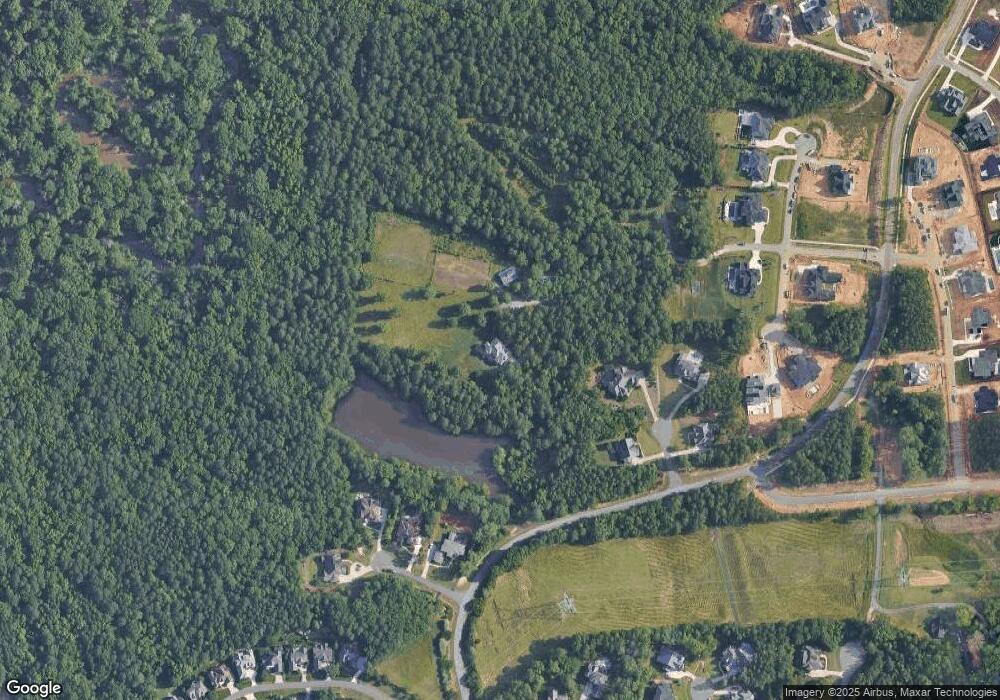
Map
Nearby Homes
- 6 Castlewood Dr
- 2 Barkwood Ct
- 282 Colvard Estates Dr
- 504 Colvard Woods Way
- 616 Dappled Pine Ave
- 604 Dappled Pine Ave
- 1017 Whitehall Cir
- 107 Edward Booth Ln
- 818 Saint Charles St
- 271 Crimson Oak Dr
- The Oberlin Plan at Colvard Farms
- 1002 Kentlands Dr
- 219 Colvard Park Dr
- 512 Whitehall Cir
- 128 Colvard Park Dr
- Schubert Plan at 751 South
- 916 Noisette Ct
- 139 Callowhill Ln
- 32 Woodgate Ct
- 7571 N Carolina 751
- 482-B Colvard Farms Rd
- 482-A Colvard Farms Rd
- 5 Castlewood Dr Unit 180
- 5 Castlewood Dr
- 1 Castlewood Dr
- 1 Castlewood Dr Unit 179
- 6 Castlewood Dr Unit 181
- 2 Barkwood Ct Unit 178
- 6 Barkwood Ct
- 2 Castlewood Dr
- 2 Castlewood Dr Unit 182
- 482 Colvard Farms Rd
- 408 Eagle Spur Place
- 4 Barkwood Ct
- 4 Barkwood Ct Unit 177
- 7 Barkwood Ct Unit 175
- 7 Barkwood Ct
- 314 Eagle Spur Place
- 415 Eagle Spur Place
- 308 Eagle Spur Place