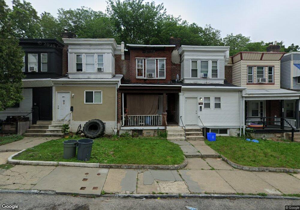
488 E Penn St Philadelphia, PA 19144
East Germantown NeighborhoodEstimated Value: $105,000 - $121,000
4
Beds
1
Bath
750
Sq Ft
$154/Sq Ft
Est. Value
About This Home
This home is located at 488 E Penn St, Philadelphia, PA 19144 and is currently estimated at $115,410, approximately $153 per square foot. 488 E Penn St is a home located in Philadelphia County with nearby schools including Roosevelt Theodore Middle School, Oak Street Elementary School, and Martin Luther King High School.
Ownership History
Date
Name
Owned For
Owner Type
Purchase Details
Closed on
May 22, 2024
Sold by
Krinsky & Castelli Properties Llc
Bought by
Philly Sfr Iv Llc
Current Estimated Value
Home Financials for this Owner
Home Financials are based on the most recent Mortgage that was taken out on this home.
Original Mortgage
$7,280,000
Outstanding Balance
$5,464,101
Interest Rate
6.88%
Mortgage Type
New Conventional
Estimated Equity
-$5,348,691
Create a Home Valuation Report for This Property
The Home Valuation Report is an in-depth analysis detailing your home's value as well as a comparison with similar homes in the area
Home Values in the Area
Average Home Value in this Area
Purchase History
| Date | Buyer | Sale Price | Title Company |
|---|---|---|---|
| Philly Sfr Iv Llc | $2,375,079 | Genesis Abstract | |
| Philly Sfr Iv Llc | $2,375,079 | Genesis Abstract |
Source: Public Records
Mortgage History
| Date | Status | Borrower | Loan Amount |
|---|---|---|---|
| Open | Philly Sfr Iv Llc | $7,280,000 | |
| Closed | Philly Sfr Iv Llc | $7,280,000 |
Source: Public Records
Tax History Compared to Growth
Tax History
| Year | Tax Paid | Tax Assessment Tax Assessment Total Assessment is a certain percentage of the fair market value that is determined by local assessors to be the total taxable value of land and additions on the property. | Land | Improvement |
|---|---|---|---|---|
| 2026 | $777 | $83,200 | $16,600 | $66,600 |
| 2025 | $777 | $83,200 | $16,600 | $66,600 |
| 2024 | $777 | $83,200 | $16,600 | $66,600 |
| 2023 | $777 | $55,500 | $11,100 | $44,400 |
| 2022 | $622 | $55,500 | $11,100 | $44,400 |
| 2021 | $622 | $0 | $0 | $0 |
| 2020 | $622 | $0 | $0 | $0 |
| 2019 | $650 | $0 | $0 | $0 |
| 2018 | $813 | $0 | $0 | $0 |
| 2017 | $813 | $0 | $0 | $0 |
| 2016 | $813 | $0 | $0 | $0 |
| 2015 | -- | $0 | $0 | $0 |
| 2014 | -- | $58,100 | $6,426 | $51,674 |
| 2012 | -- | $8,608 | $1,312 | $7,296 |
Source: Public Records
Map
Nearby Homes
- 529 E Queen Ln
- 540 E Ashmead St
- 5301 Belfield Ave
- 5357 Belfield Ave
- 83 E Ashmead St
- 238 E Queen Ln
- 604 E Locust Ave
- 543 E Locust Ave
- 4995 Sheldon St
- 617 E Locust Ave
- 437 49 E Collom St
- 5502 Crowson St
- 2110 W Chew Ave
- 4937 Rubicam St
- 5220 Wakefield St
- 4950 Wakefield St
- 5335 Wakefield St
- 5610 Mcmahon St
- 78 E Penn St
- 345 E Armat St