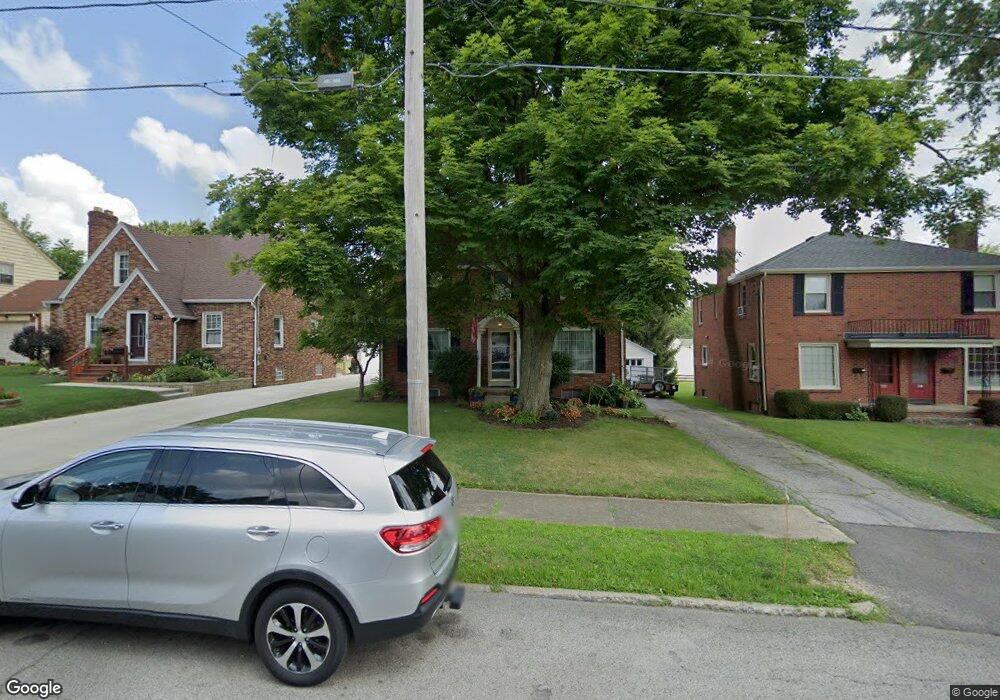
488 Forest St Mansfield, OH 44903
Estimated Value: $154,000 - $188,000
4
Beds
2
Baths
1,503
Sq Ft
$111/Sq Ft
Est. Value
About This Home
This home is located at 488 Forest St, Mansfield, OH 44903 and is currently estimated at $166,618, approximately $110 per square foot. 488 Forest St is a home located in Richland County with nearby schools including Discovery School, St. Peter's High School/Junior High, and St. Peter's Elementary/Montessori School.
Ownership History
Date
Name
Owned For
Owner Type
Purchase Details
Closed on
Apr 29, 1996
Sold by
Monachino Paul J
Bought by
Horning David G and Horning Colene A
Current Estimated Value
Home Financials for this Owner
Home Financials are based on the most recent Mortgage that was taken out on this home.
Original Mortgage
$69,000
Interest Rate
7.91%
Mortgage Type
New Conventional
Create a Home Valuation Report for This Property
The Home Valuation Report is an in-depth analysis detailing your home's value as well as a comparison with similar homes in the area
Home Values in the Area
Average Home Value in this Area
Purchase History
| Date | Buyer | Sale Price | Title Company |
|---|---|---|---|
| Horning David G | $77,000 | -- |
Source: Public Records
Mortgage History
| Date | Status | Borrower | Loan Amount |
|---|---|---|---|
| Closed | Horning David G | $69,000 |
Source: Public Records
Tax History Compared to Growth
Tax History
| Year | Tax Paid | Tax Assessment Tax Assessment Total Assessment is a certain percentage of the fair market value that is determined by local assessors to be the total taxable value of land and additions on the property. | Land | Improvement |
|---|---|---|---|---|
| 2024 | $1,711 | $36,550 | $3,960 | $32,590 |
| 2023 | $1,711 | $36,550 | $3,960 | $32,590 |
| 2022 | $1,471 | $26,330 | $3,400 | $22,930 |
| 2021 | $1,481 | $26,330 | $3,400 | $22,930 |
| 2020 | $1,515 | $26,330 | $3,400 | $22,930 |
| 2019 | $1,679 | $26,330 | $3,400 | $22,930 |
| 2018 | $1,656 | $26,330 | $3,400 | $22,930 |
| 2017 | $1,638 | $26,330 | $3,400 | $22,930 |
| 2016 | $1,665 | $26,390 | $4,680 | $21,710 |
| 2015 | $1,591 | $26,390 | $4,680 | $21,710 |
| 2014 | $1,570 | $26,390 | $4,680 | $21,710 |
| 2012 | $598 | $26,390 | $4,920 | $21,470 |
Source: Public Records
Map
Nearby Homes
- 538 Broadview Ave
- 679 Coleman Rd
- 133 Stewart Ave S
- 126 Dawson Ave
- 257 Wood St
- 709 Coleman Rd
- 114 Vennum Ave
- 88 Sherman Ave
- 118 Lind Ave
- 76 Bartley Ave
- 118 Parkwood Blvd
- 119 Carpenter Rd
- 505 Wood St
- 71 Glenwood Blvd
- 78 Glenwood Blvd
- 135 Wood St
- 37 Baldwin Ave
- 408 Fairlawn Ave
- 353 Sturges Ave
- 0 Cline Ave Hedeen Abbeyfeale Unit 9066362
- 482 Forest St Unit 484
- 494 Forest St
- 478 Forest St
- 474 Forest St
- 498 Forest St
- 504 Forest St
- 491 Woodward Ave
- 485 Woodward Ave
- 495 Woodward Ave
- 499 Woodward Ave
- 481 Woodward Ave
- 468 Forest St
- 508 Forest St
- 485 Forest St
- 491 Forest St
- 481 Forest St
- 505 Woodward Ave
- 495 Forest St
- 477 Woodward Ave
- 477 Forest St