488 Havasu Point Spring Branch, TX 78070
Hill Country NeighborhoodEstimated Value: $850,000 - $1,054,000
--
Bed
1
Bath
3,466
Sq Ft
$264/Sq Ft
Est. Value
About This Home
This home is located at 488 Havasu Point, Spring Branch, TX 78070 and is currently estimated at $915,924, approximately $264 per square foot. 488 Havasu Point is a home with nearby schools including Rebecca Creek Elementary School, Mt Valley Middle School, and Canyon Lake High School.
Ownership History
Date
Name
Owned For
Owner Type
Purchase Details
Closed on
Oct 10, 2024
Sold by
Burger Scott E and Burger Andrea J
Bought by
Scott E And Andrea J Burger Living Trust and Burger
Current Estimated Value
Purchase Details
Closed on
Jun 15, 2011
Sold by
Stadler & Leatham Development L L C
Bought by
Burger Scott E and Burger Andrea J
Home Financials for this Owner
Home Financials are based on the most recent Mortgage that was taken out on this home.
Original Mortgage
$499,300
Interest Rate
4.7%
Mortgage Type
Purchase Money Mortgage
Create a Home Valuation Report for This Property
The Home Valuation Report is an in-depth analysis detailing your home's value as well as a comparison with similar homes in the area
Home Values in the Area
Average Home Value in this Area
Purchase History
| Date | Buyer | Sale Price | Title Company |
|---|---|---|---|
| Scott E And Andrea J Burger Living Trust | -- | None Listed On Document | |
| Burger Scott E | -- | Providence Title |
Source: Public Records
Mortgage History
| Date | Status | Borrower | Loan Amount |
|---|---|---|---|
| Previous Owner | Burger Scott E | $499,300 |
Source: Public Records
Tax History Compared to Growth
Tax History
| Year | Tax Paid | Tax Assessment Tax Assessment Total Assessment is a certain percentage of the fair market value that is determined by local assessors to be the total taxable value of land and additions on the property. | Land | Improvement |
|---|---|---|---|---|
| 2025 | $9,704 | $941,595 | $139,500 | $802,095 |
| 2024 | $9,704 | $891,125 | -- | -- |
| 2023 | $9,704 | $810,114 | $0 | $0 |
| 2022 | $9,347 | $736,467 | -- | -- |
| 2021 | $11,927 | $669,670 | $111,600 | $558,070 |
| 2020 | $11,278 | $608,650 | $104,160 | $504,490 |
| 2019 | $11,158 | $606,050 | $99,200 | $506,850 |
| 2018 | $10,117 | $534,420 | $71,420 | $463,000 |
| 2017 | $10,041 | $534,670 | $62,230 | $472,440 |
| 2016 | $9,679 | $515,370 | $62,230 | $453,140 |
| 2015 | $7,186 | $531,970 | $62,230 | $469,740 |
| 2014 | $7,186 | $506,130 | $62,230 | $443,900 |
Source: Public Records
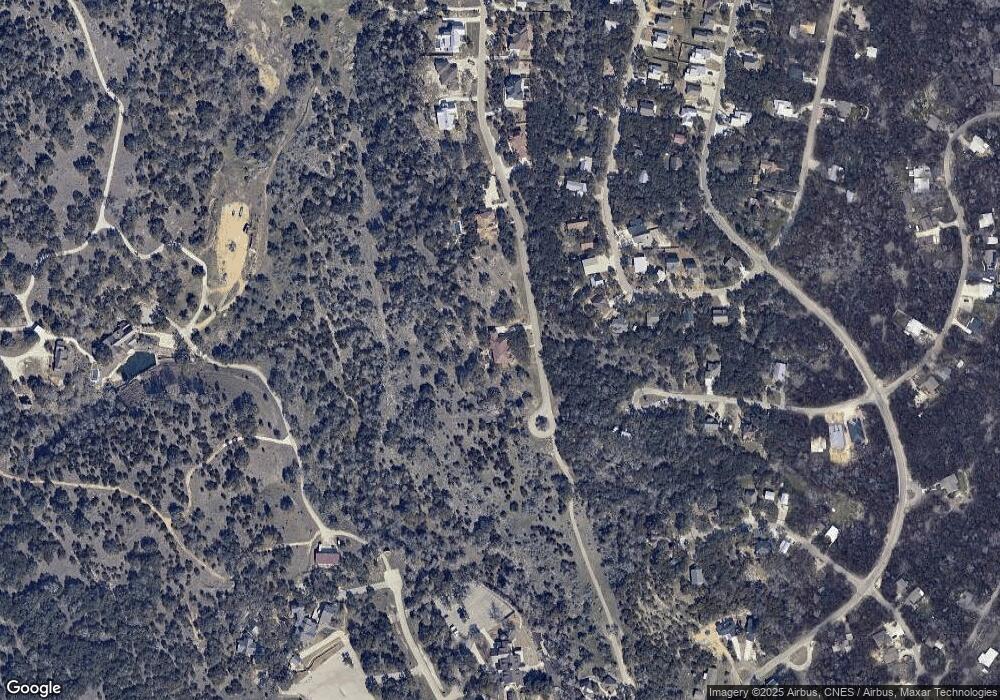
Map
Nearby Homes
- 492 Havasu Point
- 484 Havasu Point
- 1126 Winding Creek Trail
- 2421 Hornsby
- 1134 Burning Tree
- 1548 Winding Creek Trail
- 1720 Winding Creek Trail
- 496 Havasu Point
- 500 Havasu Point
- 3020 Tanglewood Trail
- 1915 Tanglewood Trail
- 1903 Tanglewood Trail
- 1381 Overbrook Ln
- 2637 Campestres
- 1395 Overbrook Ln
- 1145 Overbrook Ln
- 644 Cashew
- 420 Havasu Point
- 2626 Campestres
- 2705 Campestres
- 480 Havasu Point
- 2326 Hornsby
- 2316 Hornsby
- 2336 Hornsby
- 476 Havasu Point
- 2276 Hornsby
- 2346 Hornsby
- 2256 Hornsby
- 2285 Hornsby
- 2376 Hornsby
- 2367 Hornsby
- 2246 Hornsby
- 471 Havasu Point
- 468 Havasu Point
- 2379 Hornsby
- 1091 Winding Creek Trail
- 1092 Winding Creek Trail
- 2233 Hornsby
- 2040 Tanglewood Trail
- 2406 Hornsby