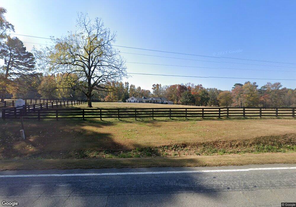
488 Highway 136 E Dawsonville, GA 30534
Dawson County NeighborhoodEstimated Value: $726,000 - $1,385,116
4
Beds
4
Baths
3,048
Sq Ft
$335/Sq Ft
Est. Value
About This Home
This home is located at 488 Highway 136 E, Dawsonville, GA 30534 and is currently estimated at $1,019,705, approximately $334 per square foot. 488 Highway 136 E is a home located in Dawson County with nearby schools including Robinson Elementary School, Dawson County Junior High School, and Dawson County Middle School.
Ownership History
Date
Name
Owned For
Owner Type
Purchase Details
Closed on
Apr 22, 2008
Sold by
Power George
Bought by
Power Sallie B and Power Justin B
Current Estimated Value
Purchase Details
Closed on
Oct 21, 2004
Sold by
West Lyndon
Bought by
Power George and Power Pam
Purchase Details
Closed on
Jul 30, 2004
Sold by
West Lyndon
Bought by
Power George and Power Pam
Create a Home Valuation Report for This Property
The Home Valuation Report is an in-depth analysis detailing your home's value as well as a comparison with similar homes in the area
Home Values in the Area
Average Home Value in this Area
Purchase History
| Date | Buyer | Sale Price | Title Company |
|---|---|---|---|
| Power Sallie B | $291,000 | -- | |
| Power George | $497,500 | -- | |
| Power George | $427,500 | -- |
Source: Public Records
Tax History Compared to Growth
Tax History
| Year | Tax Paid | Tax Assessment Tax Assessment Total Assessment is a certain percentage of the fair market value that is determined by local assessors to be the total taxable value of land and additions on the property. | Land | Improvement |
|---|---|---|---|---|
| 2024 | $1,107 | $457,960 | $188,960 | $269,000 |
| 2023 | $1,107 | $409,760 | $141,440 | $268,320 |
| 2022 | $818 | $315,108 | $136,280 | $178,828 |
| 2021 | $681 | $297,108 | $143,040 | $154,068 |
| 2020 | $739 | $344,348 | $190,680 | $153,668 |
| 2019 | $2,192 | $346,788 | $190,680 | $156,108 |
| 2018 | $2,188 | $346,788 | $190,680 | $156,108 |
| 2017 | $2,014 | $228,129 | $75,026 | $153,103 |
| 2016 | $1,965 | $226,428 | $75,026 | $151,402 |
| 2015 | $2,018 | $226,429 | $75,026 | $151,402 |
| 2014 | $1,315 | $200,479 | $75,026 | $125,452 |
| 2013 | -- | $187,225 | $75,026 | $112,198 |
Source: Public Records
Map
Nearby Homes
- 106 Highway 136 E
- 0 Highway 9 N Unit 10600540
- 237 Highway 136 W
- 191+/- ACRES Georgia 136
- 00 Ga-136 Tract 2
- 387 Gold Bullion Dr E
- 8 Gold Dust Dr
- 10 Gold Dust Dr
- 8 Gold Dust Dr Unit 23-B
- 10 Gold Dust Dr Unit 23-A
- 42 Gold Dust Dr
- 42 Gold Dust Dr Unit 17A
- 62 Gold Dust Dr
- 29 Gold Dust Dr
- 23 Gold Dust Dr
- 21 Gold Dust Dr Unit 1-A
- 23 Gold Dust Dr Unit 1-B
- 31 Gold Dust Dr
- 59 Gold Dust Dr
- 57 Gold Dust Dr
- 789 N Seed Tick Rd
- 51 Herman Rice Rd
- 713 N Seed Tick Rd
- 59 Indigo Ln
- 756 N Seed Tick Rd
- 98 Flea Ridge Rd
- 640 N Seed Tick Rd
- 574 N Seed Tick Rd
- 672 N Seed Tick Rd
- 19 Brooksher Cir
- 0 Brooksher Cir
- 285 Highway 136 E
- 248 Highway 136 E
- 248 Highway 136 E
- 60 Highway 136 E
- 114 Crooked Tree Dr
- 56 Crooked Tree Dr
- 46 Brooksher Cir
- 68 Brooksher Cir
- 144 Crooked Tree Dr