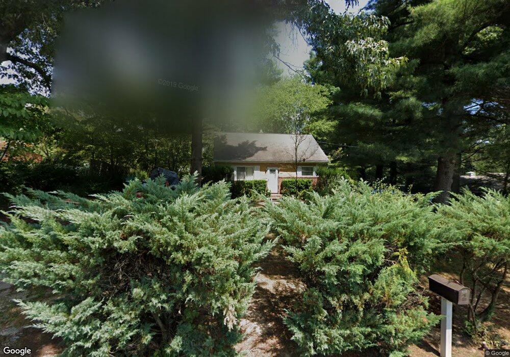
488 Martin Dr Millersville, MD 21108
Estimated Value: $378,000 - $544,000
--
Bed
2
Baths
1,248
Sq Ft
$351/Sq Ft
Est. Value
About This Home
This home is located at 488 Martin Dr, Millersville, MD 21108 and is currently estimated at $438,196, approximately $351 per square foot. 488 Martin Dr is a home located in Anne Arundel County with nearby schools including Southgate Elementary School, Old Mill Middle School North, and Old Mill High School.
Ownership History
Date
Name
Owned For
Owner Type
Purchase Details
Closed on
Sep 28, 2018
Sold by
Woods Lane Venton and Woods Brenda
Bought by
Woods Lane Vento and Woods Brenda
Current Estimated Value
Purchase Details
Closed on
Dec 2, 1980
Bought by
Woods Lane and Woods Brenda
Home Financials for this Owner
Home Financials are based on the most recent Mortgage that was taken out on this home.
Original Mortgage
$59,500
Interest Rate
14.28%
Create a Home Valuation Report for This Property
The Home Valuation Report is an in-depth analysis detailing your home's value as well as a comparison with similar homes in the area
Home Values in the Area
Average Home Value in this Area
Purchase History
| Date | Buyer | Sale Price | Title Company |
|---|---|---|---|
| Woods Lane Vento | -- | Venus Title Llc | |
| Woods Lane | $59,500 | -- |
Source: Public Records
Mortgage History
| Date | Status | Borrower | Loan Amount |
|---|---|---|---|
| Closed | Woods Lane | $59,500 |
Source: Public Records
Tax History Compared to Growth
Tax History
| Year | Tax Paid | Tax Assessment Tax Assessment Total Assessment is a certain percentage of the fair market value that is determined by local assessors to be the total taxable value of land and additions on the property. | Land | Improvement |
|---|---|---|---|---|
| 2025 | $2,960 | $382,900 | -- | -- |
| 2024 | $2,960 | $367,600 | $248,300 | $119,300 |
| 2023 | $2,341 | $357,200 | $0 | $0 |
| 2022 | $2,690 | $346,800 | $0 | $0 |
| 2021 | $5,286 | $336,400 | $216,300 | $120,100 |
| 2020 | $2,563 | $332,533 | $0 | $0 |
| 2019 | $4,959 | $328,667 | $0 | $0 |
| 2018 | $3,293 | $324,800 | $206,300 | $118,500 |
| 2017 | $2,341 | $305,567 | $0 | $0 |
| 2016 | -- | $286,333 | $0 | $0 |
| 2015 | -- | $267,100 | $0 | $0 |
| 2014 | -- | $267,100 | $0 | $0 |
Source: Public Records
Map
Nearby Homes
- 0 Connors Ln
- 8262 Kippis Rd
- 8297 Kippis Rd
- 8253 Rupert Rd S
- 8251 Rupert Rd S
- 8333 Kippis Rd
- 8206 Derrymore Ct
- 460 Marianna Dr
- 307 Sorel Ct
- 401 Green Grove Ct
- 8224 Bernard Dr N
- 601 Brightwood Rd
- 15 Tremont Dr
- 759 Stacy Oak Way
- 8011 Horicon Point Dr
- 584 Brightview Dr
- 2664 Carver Rd
- 266 Nathan Way
- 258 Nathan Way
- 8381 Amber Beacon Cir