Estimated Value: $412,000 - $507,753
3
Beds
3
Baths
2,076
Sq Ft
$223/Sq Ft
Est. Value
About This Home
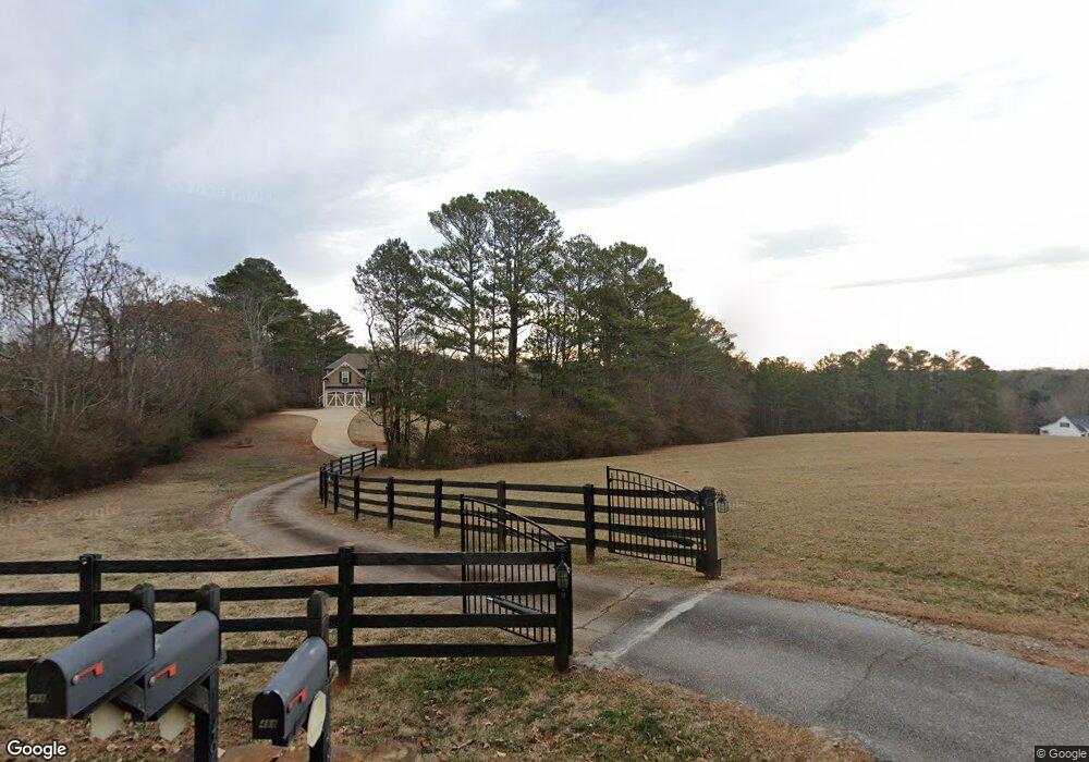
This home is located at 488 Phillips Lee Rd, Hiram, GA 30141 and is currently estimated at $462,918, approximately $222 per square foot. 488 Phillips Lee Rd is a home with nearby schools including Allgood Elementary School, Herschel Jones Middle School, and Paulding County High School.
Ownership History
Date
Name
Owned For
Owner Type
Purchase Details
Closed on
Jun 27, 2014
Sold by
Evans James Newton Estate
Current Estimated Value
Purchase Details
Closed on
Mar 29, 2014
Sold by
Evans James N Estate
Bought by
Evans Deborah
Purchase Details
Closed on
Jul 12, 2005
Sold by
Phillips Curtis W
Bought by
Evans James and Evans Deborah
Home Financials for this Owner
Home Financials are based on the most recent Mortgage that was taken out on this home.
Original Mortgage
$270,000
Interest Rate
5.51%
Create a Home Valuation Report for This Property
The Home Valuation Report is an in-depth analysis detailing your home's value as well as a comparison with similar homes in the area
Home Values in the Area
Average Home Value in this Area
Purchase History
| Date | Buyer | Sale Price | Title Company |
|---|---|---|---|
| -- | -- | -- | |
| Evans Deborah | -- | -- | |
| Evans James | -- | -- |
Source: Public Records
Mortgage History
| Date | Status | Borrower | Loan Amount |
|---|---|---|---|
| Previous Owner | Evans James | $270,000 |
Source: Public Records
Tax History Compared to Growth
Tax History
| Year | Tax Paid | Tax Assessment Tax Assessment Total Assessment is a certain percentage of the fair market value that is determined by local assessors to be the total taxable value of land and additions on the property. | Land | Improvement |
|---|---|---|---|---|
| 2024 | $1,384 | $200,736 | $87,760 | $112,976 |
| 2023 | $1,546 | $191,884 | $85,520 | $106,364 |
| 2022 | $2,726 | $165,604 | $69,560 | $96,044 |
| 2021 | $2,392 | $128,376 | $55,280 | $73,096 |
| 2020 | $2,267 | $118,324 | $52,200 | $66,124 |
| 2019 | $2,189 | $112,176 | $55,280 | $56,896 |
| 2018 | $2,989 | $101,056 | $53,320 | $47,736 |
| 2017 | $2,789 | $93,164 | $51,040 | $42,124 |
| 2016 | $2,570 | $86,856 | $51,040 | $35,816 |
| 2015 | $2,486 | $82,640 | $50,120 | $32,520 |
| 2014 | $342 | $74,720 | $0 | $28,720 |
| 2013 | -- | $74,392 | $50,432 | $23,960 |
Source: Public Records
Map
Nearby Homes
- 581 Victorian Cir
- 185 Wyngate Ct
- 31 Trayton Way
- 72 Victorian Cir
- 3124 Hiram Sudie Rd
- 242 Barrington Dr
- 1707 Hiram Sudie Rd
- 122 Prince Way
- 149 Barrington Ln
- 256 Berkleigh Trails Dr
- 552 Rich Davis Rd
- 739 Highgrove Way
- 96 Quail Bend Way
- 426 Old Sudie Rd
- 2393 Bill Carruth Pkwy
- 133 Willow Bend Dr
- 149 Willow Bend Dr
- 498 Phillips Lee Rd
- 358 Phillips Lee Rd
- 302 Phillips Lee Rd
- 304 Phillips Lee Rd
- 642 Phillips Lee Rd
- 509 Phillips Lee Rd
- 328 Phillips Lee Rd
- 300 Phillips Lee Rd
- 501 Phillips Lee Rd
- 708 Phillips Lee Rd
- 625 Phillips Lee Rd
- 270 Phillips Lee Rd
- 641 Phillips Lee Rd
- 641 Phillips Lee Rd
- 325 Phillips Lee Rd
- 619 Hickory Leaf Dr
- 371 Phillips Lee Rd
- 679 Phillips Lee Rd
- 635 Phillips Lee Rd
- 635 Phillips Lee Rd