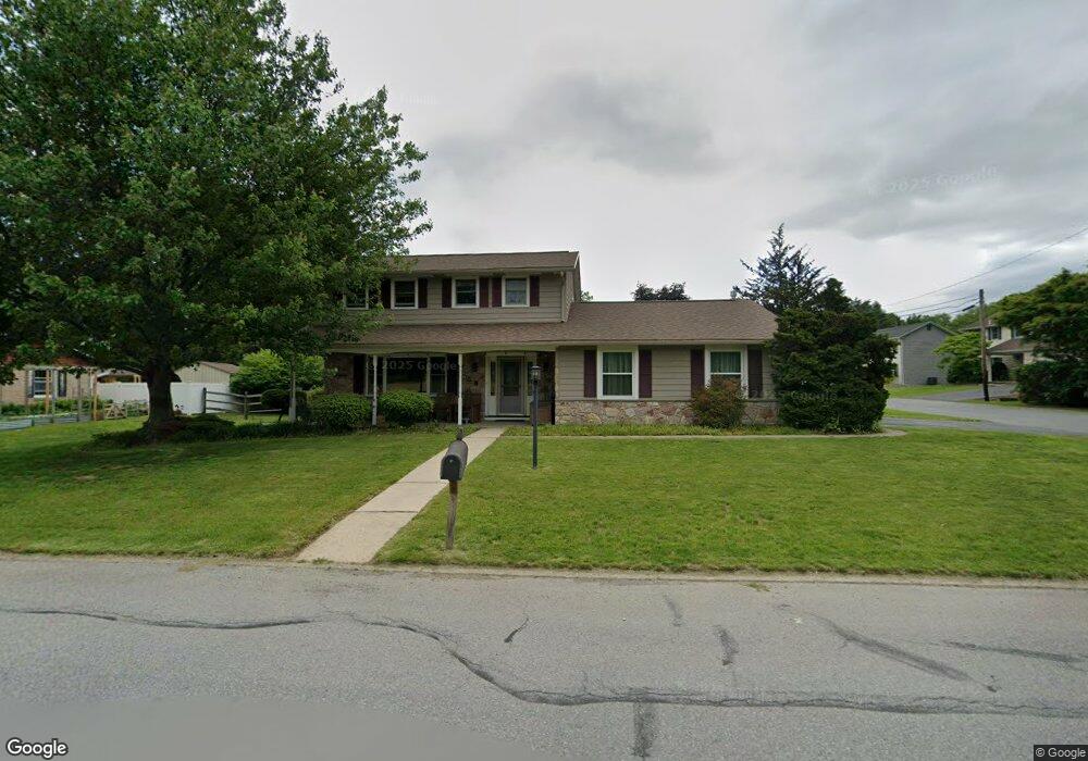
488 S Oak St Alburtis, PA 18011
Lower Macungie Township West NeighborhoodEstimated Value: $373,000 - $464,000
4
Beds
3
Baths
1,891
Sq Ft
$219/Sq Ft
Est. Value
About This Home
This home is located at 488 S Oak St, Alburtis, PA 18011 and is currently estimated at $413,823, approximately $218 per square foot. 488 S Oak St is a home located in Lehigh County with nearby schools including Alburtis Elementary School, Lower Macungie Middle School, and Emmaus High School.
Ownership History
Date
Name
Owned For
Owner Type
Purchase Details
Closed on
Oct 30, 2003
Sold by
Clingman Frances D
Bought by
Biery Keith A and Biery Cara E
Current Estimated Value
Home Financials for this Owner
Home Financials are based on the most recent Mortgage that was taken out on this home.
Original Mortgage
$144,000
Outstanding Balance
$66,805
Interest Rate
6.01%
Mortgage Type
Purchase Money Mortgage
Estimated Equity
$347,018
Create a Home Valuation Report for This Property
The Home Valuation Report is an in-depth analysis detailing your home's value as well as a comparison with similar homes in the area
Home Values in the Area
Average Home Value in this Area
Purchase History
| Date | Buyer | Sale Price | Title Company |
|---|---|---|---|
| Biery Keith A | $180,000 | -- |
Source: Public Records
Mortgage History
| Date | Status | Borrower | Loan Amount |
|---|---|---|---|
| Open | Biery Keith A | $144,000 |
Source: Public Records
Tax History Compared to Growth
Tax History
| Year | Tax Paid | Tax Assessment Tax Assessment Total Assessment is a certain percentage of the fair market value that is determined by local assessors to be the total taxable value of land and additions on the property. | Land | Improvement |
|---|---|---|---|---|
| 2025 | $6,163 | $209,900 | $34,500 | $175,400 |
| 2024 | $6,005 | $209,900 | $34,500 | $175,400 |
| 2023 | $5,727 | $209,900 | $34,500 | $175,400 |
| 2022 | $5,607 | $209,900 | $175,400 | $34,500 |
| 2021 | $5,502 | $209,900 | $34,500 | $175,400 |
| 2020 | $5,455 | $209,900 | $34,500 | $175,400 |
| 2019 | $5,426 | $209,900 | $34,500 | $175,400 |
| 2018 | $5,364 | $209,900 | $34,500 | $175,400 |
| 2017 | $5,283 | $209,900 | $34,500 | $175,400 |
| 2016 | -- | $209,900 | $34,500 | $175,400 |
| 2015 | -- | $209,900 | $34,500 | $175,400 |
| 2014 | -- | $209,900 | $34,500 | $175,400 |
Source: Public Records
Map
Nearby Homes
- 428 Thomas St
- 241 Flint Hill Rd
- 3371 Mathews Ln
- 121 S Main St Unit 123
- 354 W 2nd St
- 317 Lockridge Ln
- 31 Barbara Dr
- 1108 S Barbara Dr
- 8312 Mertztown Rd
- 0 Clauss Hunt Knight Dr Unit 10 Units 763578
- 6903 Lincoln Dr
- 8975 Mertztown Rd
- 7318 Sauerkraut Ln Unit E
- 7230 Pioneer Dr
- 6709 Mountain Rd
- 7528 Buttercup Rd
- 6875 Pioneer Dr
- 1716 Brookstone Dr
- 8051 Heritage Dr
- 0 Mountain Lot 1
- 478 S Oak St
- 487 Chestnut Cir W
- 479 Chestnut Cir W
- 502 S Oak St
- 468 S Oak St
- 471 Chestnut Cir W
- 128 Windsor Rd
- 460 S Oak St
- 126 Windsor Rd
- 463 Chestnut Cir W
- 60 W 5th St
- 62 W 5th St
- 486 Chestnut Cir W
- 58 W 5th St
- 478 Chestnut Cir W
- 124 Windsor Rd
- 56 W 5th St
- 455 Chestnut Cir W
- 452 S Oak St
- 470 Chestnut Cir W