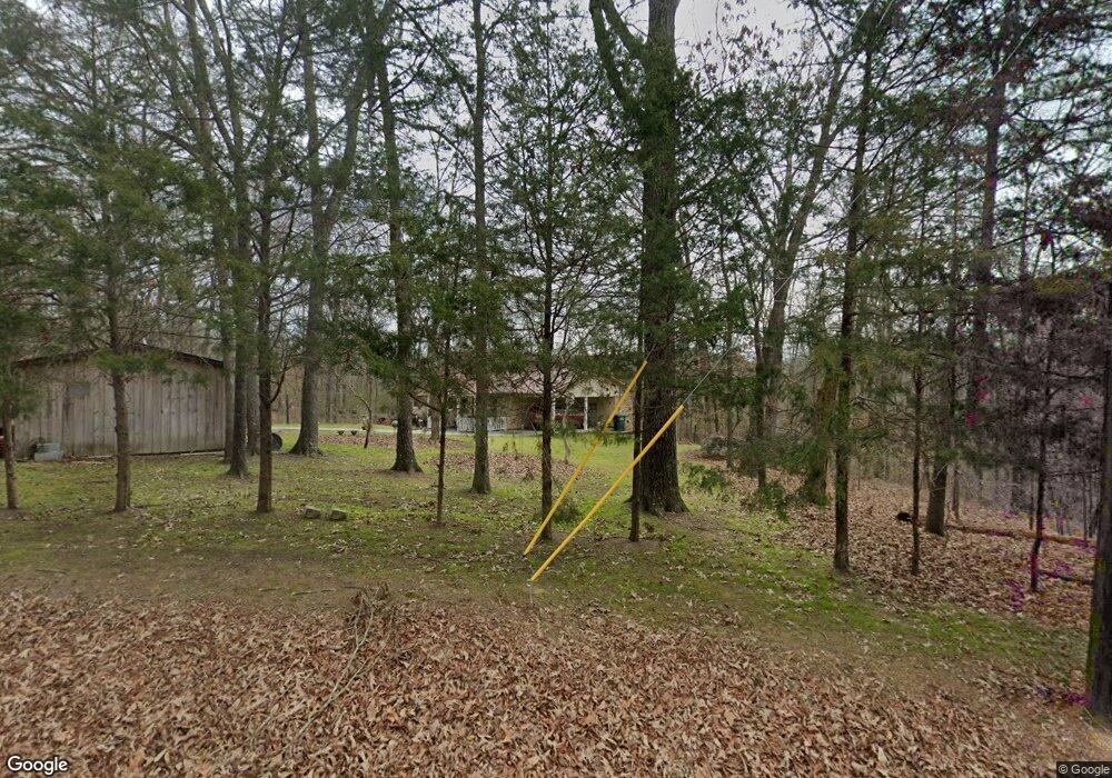
488 Seabolt Rd SW Adairsville, GA 30103
Estimated Value: $226,000 - $258,516
3
Beds
2
Baths
1,408
Sq Ft
$175/Sq Ft
Est. Value
About This Home
This home is located at 488 Seabolt Rd SW, Adairsville, GA 30103 and is currently estimated at $246,505, approximately $175 per square foot. 488 Seabolt Rd SW is a home located in Gordon County with nearby schools including Swain Elementary School, Ashworth Middle School, and Gordon Central High School.
Ownership History
Date
Name
Owned For
Owner Type
Purchase Details
Closed on
Feb 15, 2002
Sold by
Sewell Aleck F
Bought by
Sewell Sarah and Cochran Ricky C
Current Estimated Value
Create a Home Valuation Report for This Property
The Home Valuation Report is an in-depth analysis detailing your home's value as well as a comparison with similar homes in the area
Home Values in the Area
Average Home Value in this Area
Purchase History
| Date | Buyer | Sale Price | Title Company |
|---|---|---|---|
| Sewell Sarah | $82,000 | -- |
Source: Public Records
Tax History Compared to Growth
Tax History
| Year | Tax Paid | Tax Assessment Tax Assessment Total Assessment is a certain percentage of the fair market value that is determined by local assessors to be the total taxable value of land and additions on the property. | Land | Improvement |
|---|---|---|---|---|
| 2024 | $839 | $59,492 | $11,760 | $47,732 |
| 2023 | $761 | $56,440 | $11,760 | $44,680 |
| 2022 | $727 | $53,536 | $11,760 | $41,776 |
| 2021 | $520 | $45,652 | $11,760 | $33,892 |
| 2020 | $542 | $46,204 | $11,760 | $34,444 |
| 2019 | $1,332 | $48,244 | $11,760 | $36,484 |
| 2017 | $1,249 | $44,136 | $11,760 | $32,376 |
| 2016 | $1,252 | $44,136 | $11,760 | $32,376 |
Source: Public Records
Map
Nearby Homes
- 0 Woody Rd NW Unit 10634615
- 2857 McDaniel Station Rd SW
- 50 Hopkins Farm Dr
- 69 Hopkins Farm Dr
- 238 Lighthouse Cove SW
- 356 W Oak Grove Rd NW
- 365 Riverboat Dr
- 178 Harbor Trail
- 31 Wesley Mill Dr
- Woodridge Plan at The Landing at Miller’s Ferry
- Kensington Plan at The Landing at Miller’s Ferry
- Northwyck Plan at The Landing at Miller’s Ferry
- Richmond Plan at The Landing at Miller’s Ferry
- Brookhaven Plan at The Landing at Miller’s Ferry
- Newport I Plan at The Landing at Miller’s Ferry
- Wesley Plan at The Landing at Miller’s Ferry
- Newport II Plan at The Landing at Miller’s Ferry
- Richardson Plan at The Landing at Miller’s Ferry
- Dewhurst Plan at The Landing at Miller’s Ferry
- 269 Riverboat Dr
- 0 Woody Rd SW Unit 3125808
- 0 Woody Rd SW
- 952 Woody Rd SW
- 951 Woody Rd SW
- 951 Woody Rd SW
- 1052 Woody Rd SW
- 97 Lancaster Rd SW
- 897 Woody Rd SW
- 153 Lancaster Rd SW
- 348 Seabolt Rd SW
- 885 Woody Rd SW
- 879 Woody Rd SW
- 445 Seabolt Rd SW
- 1060 Woody Rd SW
- 1057 Woody Rd SW
- 00 Seabolt Rd SW
- 0 Lancaster Rd SW
- 00 Lancaster Rd SW
- 0 Lancaster Rd SW Unit 8279572
- 0 Lancaster Rd SW Unit 8460177