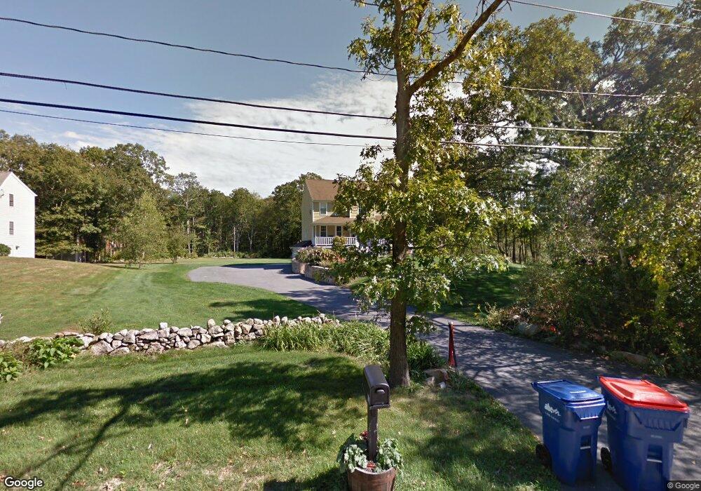
488 Sodom Rd Westport, MA 02790
Adamsville NeighborhoodEstimated Value: $735,649 - $866,000
3
Beds
3
Baths
2,168
Sq Ft
$366/Sq Ft
Est. Value
About This Home
This home is located at 488 Sodom Rd, Westport, MA 02790 and is currently estimated at $792,912, approximately $365 per square foot. 488 Sodom Rd is a home located in Bristol County with nearby schools including Alice A. Macomber Primary School, Westport Elementary School, and Westport Middle-High School.
Ownership History
Date
Name
Owned For
Owner Type
Purchase Details
Closed on
May 12, 2021
Sold by
Carter Kevin and Carter Stefanie S
Bought by
Carter Kevin
Current Estimated Value
Home Financials for this Owner
Home Financials are based on the most recent Mortgage that was taken out on this home.
Original Mortgage
$225,000
Outstanding Balance
$203,037
Interest Rate
3.1%
Mortgage Type
New Conventional
Estimated Equity
$589,875
Purchase Details
Closed on
Apr 21, 2006
Sold by
Smith Kimberly M
Bought by
Carter Kevin and Carter Stefanie S
Home Financials for this Owner
Home Financials are based on the most recent Mortgage that was taken out on this home.
Original Mortgage
$319,900
Interest Rate
6.37%
Mortgage Type
Purchase Money Mortgage
Create a Home Valuation Report for This Property
The Home Valuation Report is an in-depth analysis detailing your home's value as well as a comparison with similar homes in the area
Home Values in the Area
Average Home Value in this Area
Purchase History
| Date | Buyer | Sale Price | Title Company |
|---|---|---|---|
| Carter Kevin | -- | None Available | |
| Carter Kevin | -- | None Available | |
| Carter Kevin | $399,900 | -- | |
| Smith Kimberly M | -- | -- | |
| Smith Kimberly M | -- | -- |
Source: Public Records
Mortgage History
| Date | Status | Borrower | Loan Amount |
|---|---|---|---|
| Open | Carter Kevin | $225,000 | |
| Closed | Carter Kevin | $225,000 | |
| Previous Owner | Smith Kimberly M | $325,000 | |
| Previous Owner | Smith Kimberly M | $325,000 | |
| Previous Owner | Smith Kimberly M | $319,900 |
Source: Public Records
Tax History
| Year | Tax Paid | Tax Assessment Tax Assessment Total Assessment is a certain percentage of the fair market value that is determined by local assessors to be the total taxable value of land and additions on the property. | Land | Improvement |
|---|---|---|---|---|
| 2025 | $4,479 | $601,200 | $224,000 | $377,200 |
| 2024 | $4,488 | $580,600 | $210,800 | $369,800 |
| 2023 | $4,415 | $541,000 | $194,100 | $346,900 |
| 2022 | $4,271 | $503,600 | $194,100 | $309,500 |
| 2021 | $4,301 | $499,000 | $180,300 | $318,700 |
| 2020 | $4,094 | $485,600 | $166,900 | $318,700 |
| 2019 | $3,894 | $470,800 | $166,900 | $303,900 |
| 2018 | $3,809 | $466,200 | $165,200 | $301,000 |
| 2017 | $3,716 | $466,200 | $165,200 | $301,000 |
| 2016 | $3,480 | $439,900 | $165,200 | $274,700 |
| 2015 | $3,419 | $431,100 | $165,200 | $265,900 |
Source: Public Records
Map
Nearby Homes
- 978 Sodom Rd
- 0 Sodom Rd Unit 73484265
- 330 Sodom Rd
- 10 Fernmarsh Ln
- 214 Sawdy Dr
- 10 Elise Michelle Way
- 6 Angel Ct
- 640 Main Rd
- 8 Village Way
- 1070 Crandall Rd Unit 4
- 47 Robert St
- 179 Robert St
- 2 Magnolia Ln
- 0 Hidden Glen Ln
- 343 American Legion Hwy
- 40 Sycamore Ln
- 101 Adamsville Rd
- 612 Drift Rd
- 218 American Legion Hwy
- 24 Greenfield Rd
Your Personal Tour Guide
Ask me questions while you tour the home.