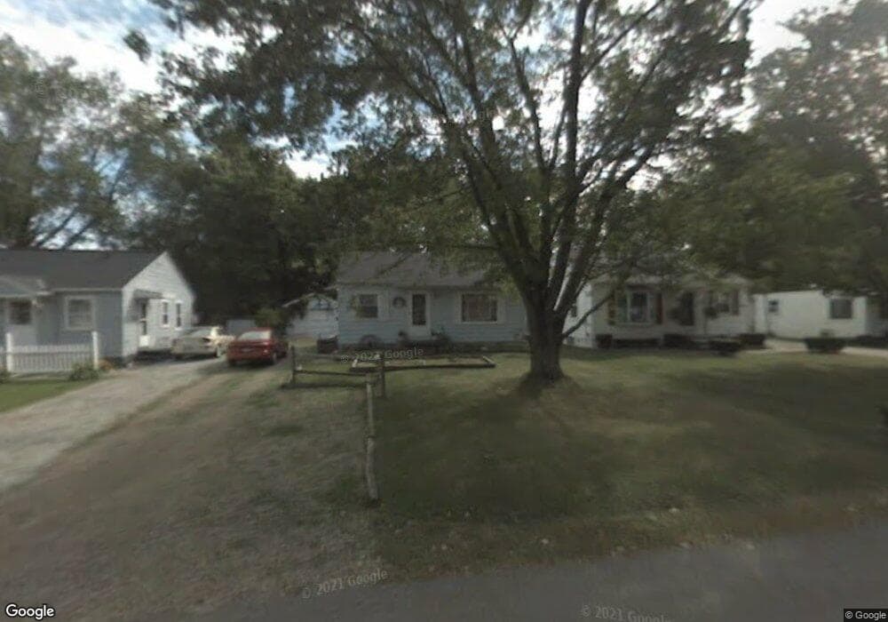
488 Stark St Mansfield, OH 44903
Estimated Value: $68,000 - $88,000
2
Beds
1
Bath
672
Sq Ft
$114/Sq Ft
Est. Value
About This Home
This home is located at 488 Stark St, Mansfield, OH 44903 and is currently estimated at $76,893, approximately $114 per square foot. 488 Stark St is a home located in Richland County with nearby schools including Foundation Academy, Mansfield Elective Academy, and Goal Digital Academy.
Ownership History
Date
Name
Owned For
Owner Type
Purchase Details
Closed on
Nov 4, 2003
Sold by
Coon Herbert Adam and Coon Rebecca Ann
Bought by
Coon Herbert Adam and Coon Rebecca Ann
Current Estimated Value
Create a Home Valuation Report for This Property
The Home Valuation Report is an in-depth analysis detailing your home's value as well as a comparison with similar homes in the area
Home Values in the Area
Average Home Value in this Area
Purchase History
| Date | Buyer | Sale Price | Title Company |
|---|---|---|---|
| Coon Herbert Adam | -- | -- |
Source: Public Records
Tax History Compared to Growth
Tax History
| Year | Tax Paid | Tax Assessment Tax Assessment Total Assessment is a certain percentage of the fair market value that is determined by local assessors to be the total taxable value of land and additions on the property. | Land | Improvement |
|---|---|---|---|---|
| 2024 | $437 | $9,130 | $1,800 | $7,330 |
| 2023 | $437 | $9,130 | $1,800 | $7,330 |
| 2022 | $539 | $9,440 | $1,630 | $7,810 |
| 2021 | $543 | $9,440 | $1,630 | $7,810 |
| 2020 | $555 | $9,440 | $1,630 | $7,810 |
| 2019 | $616 | $9,440 | $1,630 | $7,810 |
| 2018 | $607 | $9,440 | $1,630 | $7,810 |
| 2017 | $591 | $9,440 | $1,630 | $7,810 |
| 2016 | $692 | $10,710 | $2,590 | $8,120 |
| 2015 | $692 | $10,710 | $2,590 | $8,120 |
| 2014 | $652 | $10,710 | $2,590 | $8,120 |
| 2012 | $603 | $10,710 | $2,730 | $7,980 |
Source: Public Records
Map
Nearby Homes
- 0 State Route 314 Unit 9069650
- 0 State Route 314 Unit 9067316
- 0 State Route 314 Unit 225021979
- 512 Burns St
- 480 Mcpherson St
- 269 Parkway Dr
- 450 Tracy St
- 426 Mcpherson St
- 237 Helen Ave
- 0 Highway 30
- 641 Averill Ave
- 170 Western Ave
- 185 Rowland Ave
- 212 Penn Ave
- 0 Voegele Ave Unit Lot 6048, 6049, 6
- 362-364 W 6th St
- 96 Helen Ave
- 741 Burger Ave
- 371 Bell St
- 120 Gettings Place
- 482 Stark St
- 478 Stark St
- 492 Stark St
- 472 Stark St
- 489 Stark St
- 637 Burns St
- 637 Burns St
- 483 Stark St
- 479 Stark St
- 633 Burns St
- 468 Stark St
- 473 Stark St
- 657 Burns St
- 469 Stark St
- 653 Burns St
- 0 State Route 314 Unit 9066294
- 0 Sturges Ave Unit 403041
- 0 State Route 314 Unit 9057767
- 0 State Route 314 Unit 9032037
- 0 State Route 314 Unit 9032261