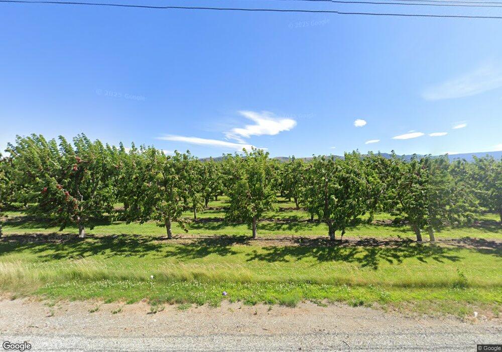
4880 4th St SE East Wenatchee, WA 98802
Estimated Value: $1,372,000 - $1,539,000
5
Beds
4
Baths
3,835
Sq Ft
$376/Sq Ft
Est. Value
About This Home
This home is located at 4880 4th St SE, East Wenatchee, WA 98802 and is currently estimated at $1,441,193, approximately $375 per square foot. 4880 4th St SE is a home located in Douglas County with nearby schools including Rock Island Elementary School, Clovis Point Intermediate School, and Eastmont Junior High School.
Ownership History
Date
Name
Owned For
Owner Type
Purchase Details
Closed on
Jul 25, 2017
Sold by
Trotter Roy L and Trotter Debra A
Bought by
Rixey Catherine E and Rixey William R
Current Estimated Value
Home Financials for this Owner
Home Financials are based on the most recent Mortgage that was taken out on this home.
Original Mortgage
$424,100
Outstanding Balance
$352,549
Interest Rate
3.91%
Mortgage Type
New Conventional
Estimated Equity
$1,088,644
Create a Home Valuation Report for This Property
The Home Valuation Report is an in-depth analysis detailing your home's value as well as a comparison with similar homes in the area
Home Values in the Area
Average Home Value in this Area
Purchase History
| Date | Buyer | Sale Price | Title Company |
|---|---|---|---|
| Rixey Catherine E | $869,000 | North Meridian Title & Escro |
Source: Public Records
Mortgage History
| Date | Status | Borrower | Loan Amount |
|---|---|---|---|
| Open | Rixey Catherine E | $424,100 |
Source: Public Records
Tax History Compared to Growth
Tax History
| Year | Tax Paid | Tax Assessment Tax Assessment Total Assessment is a certain percentage of the fair market value that is determined by local assessors to be the total taxable value of land and additions on the property. | Land | Improvement |
|---|---|---|---|---|
| 2025 | $2,886 | $1,191,200 | $216,900 | $974,300 |
| 2024 | $12,142 | $1,097,100 | $222,400 | $874,700 |
| 2023 | $12,931 | $1,041,900 | $220,800 | $821,100 |
| 2022 | $11,975 | $980,000 | $220,300 | $759,700 |
| 2021 | $11,516 | $900,000 | $140,300 | $759,700 |
| 2020 | $10,555 | $866,100 | $223,100 | $643,000 |
| 2018 | $9,358 | $645,800 | $153,100 | $492,700 |
| 2017 | $8,647 | $645,800 | $153,100 | $492,700 |
| 2016 | $6,833 | $646,200 | $153,100 | $493,100 |
| 2015 | $7,035 | $550,900 | $153,100 | $397,800 |
| 2014 | -- | $591,200 | $193,400 | $397,800 |
| 2013 | -- | $508,800 | $182,900 | $325,900 |
Source: Public Records
Map
Nearby Homes
- 0 Ward St
- 583 S Webb Ave
- 559 S Webb Ave
- 539 S Webb Ave
- 1114 Wells St
- 0 Pear Ln
- 0 Yote Rd
- 1550 Pear Ln
- 1344 Theo Way
- 1366 Theo Way
- 0 S Valiant Dr Unit 18 NWM2392419
- 0 S Valiant Dr Unit 19 NWM2392423
- 0 S Valiant Dr Unit 20 NWM2392428
- 0 S Valiant Dr Unit 21 NWM2392435
- 0 S Valiant Dr Unit 22 NWM2392444
- 0 S Valiant Dr Unit 1A4 NWM2385161
- 0 S Valiant Dr Unit 1A5 NWM2385208
- 0 S Valiant Dr Unit 1A6 NWM2385244
- 0 S Valiant Dr Unit 1A9
- 0 S Valiant Dr Unit 1A8
