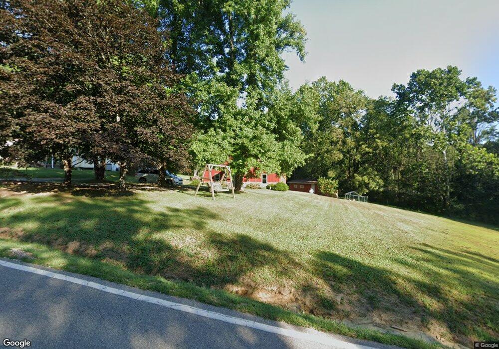
48832 State Route 248 Long Bottom, OH 45743
Estimated Value: $236,000 - $376,572
3
Beds
2
Baths
1,048
Sq Ft
$302/Sq Ft
Est. Value
About This Home
This home is located at 48832 State Route 248, Long Bottom, OH 45743 and is currently estimated at $316,393, approximately $301 per square foot. 48832 State Route 248 is a home located in Meigs County with nearby schools including Eastern Elementary School and Eastern High School.
Ownership History
Date
Name
Owned For
Owner Type
Purchase Details
Closed on
Mar 18, 2020
Sold by
Osborne Josephine V
Bought by
Osborne Roger I
Current Estimated Value
Purchase Details
Closed on
Oct 18, 2017
Sold by
Osborne Josephine V and Osborne Roger L
Bought by
Osborne Josephine V and Calhoun Nathaniel L
Purchase Details
Closed on
Jan 25, 2012
Sold by
Osborne Josephine V
Bought by
Osborne Josephine and Osborne Roger L
Purchase Details
Closed on
Jun 27, 2005
Sold by
Osborne Josephine
Bought by
Osborne Josephine and Harold And Josephine Osborne Family Trus
Create a Home Valuation Report for This Property
The Home Valuation Report is an in-depth analysis detailing your home's value as well as a comparison with similar homes in the area
Home Values in the Area
Average Home Value in this Area
Purchase History
| Date | Buyer | Sale Price | Title Company |
|---|---|---|---|
| Osborne Roger I | -- | None Available | |
| Osborne Josephine V | -- | None Available | |
| Osborne Josephine | -- | None Available | |
| Osborne Josephine | -- | -- |
Source: Public Records
Tax History Compared to Growth
Tax History
| Year | Tax Paid | Tax Assessment Tax Assessment Total Assessment is a certain percentage of the fair market value that is determined by local assessors to be the total taxable value of land and additions on the property. | Land | Improvement |
|---|---|---|---|---|
| 2024 | $2,830 | $87,650 | $8,350 | $79,300 |
| 2023 | $2,830 | $87,650 | $8,350 | $79,300 |
| 2022 | $2,769 | $85,090 | $8,350 | $76,740 |
| 2021 | $2,231 | $65,820 | $8,350 | $57,470 |
| 2020 | $1,937 | $65,820 | $8,350 | $57,470 |
| 2019 | $1,475 | $51,820 | $8,350 | $43,470 |
| 2018 | $268 | $16,780 | $3,400 | $13,380 |
| 2017 | $268 | $16,780 | $3,400 | $13,380 |
| 2016 | $274 | $16,780 | $3,400 | $13,380 |
| 2014 | $276 | $17,200 | $3,330 | $13,870 |
| 2013 | $276 | $17,200 | $3,330 | $13,870 |
Source: Public Records
Map
Nearby Homes
- 37227 Bashan Rd
- 0 Mount Olive Rd Unit 20799198
- 0 Bigley Ridge Rd
- 39834 State Route 7
- 48175 Scout Camp Rd
- 34618 Bashan Rd
- 40601 E Shade Rd
- 0 Bigley Run Rd
- 52790 Curtis Hollow Rd
- 53625 Durst Rd
- 42145 Ohio 7
- 43970 Cook Rd
- 0 Putnam Dr
- 37080 Skinner Rd
- 0 Little Forest Run Rd
- 0 E Little Forest Run Rd
- 0 Cook
- 47065 Morning Star Rd
- 0 Morning Star Rd
- West Unit LotWP001
- 48675 State Route 248
- 48630 State Route 248
- 48594 State Route 248
- 37625 E Shade Rd Unit E
- 37235 Bashan Rd
- 37065 Bashan Rd
- 37351 Bashan Rd
- 37070 Bashan Rd
- 37230 Bashan Rd
- 37433 Bashan Rd
- 36950 Bashan Rd
- 37364 Bashan Rd
- 37782 Bashan Rd
- 37282 Bashan Rd
- 37282 Bashan Rd
- 37210 Bashan Rd
- 48336 Taylor Rd
- 49472 Mount Olive Rd
- 36590 Bashan Rd
- 48242 State Route 248