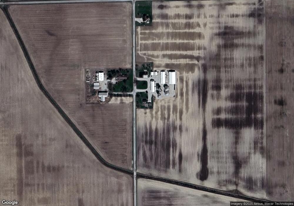
4885 N 600 W Decatur, IN 46733
Estimated Value: $251,902 - $370,000
4
Beds
2
Baths
2,831
Sq Ft
$104/Sq Ft
Est. Value
About This Home
This home is located at 4885 N 600 W, Decatur, IN 46733 and is currently estimated at $295,726, approximately $104 per square foot. 4885 N 600 W is a home located in Adams County with nearby schools including Adams Central Elementary School, Adams Central Middle School, and Adams Central High School.
Create a Home Valuation Report for This Property
The Home Valuation Report is an in-depth analysis detailing your home's value as well as a comparison with similar homes in the area
Home Values in the Area
Average Home Value in this Area
Tax History Compared to Growth
Tax History
| Year | Tax Paid | Tax Assessment Tax Assessment Total Assessment is a certain percentage of the fair market value that is determined by local assessors to be the total taxable value of land and additions on the property. | Land | Improvement |
|---|---|---|---|---|
| 2024 | $1,625 | $222,000 | $14,300 | $207,700 |
| 2023 | $1,474 | $203,500 | $14,300 | $189,200 |
| 2022 | $1,241 | $186,400 | $14,300 | $172,100 |
| 2021 | $1,208 | $175,400 | $12,600 | $162,800 |
| 2020 | $1,113 | $169,400 | $12,600 | $156,800 |
| 2019 | $1,063 | $167,000 | $12,600 | $154,400 |
| 2018 | $1,036 | $162,100 | $12,600 | $149,500 |
| 2017 | $1,033 | $159,700 | $11,500 | $148,200 |
| 2016 | $780 | $153,400 | $11,500 | $141,900 |
| 2014 | $727 | $145,700 | $11,500 | $134,200 |
| 2013 | $860 | $141,400 | $11,500 | $129,900 |
Source: Public Records
Map
Nearby Homes
- 6010 N 600 W
- 2380 E U S 224 Unit 10 & 19
- 5020 N 400 W
- 3585 N 400 Rd W
- 4626 E U S 224
- 3803 U S 224
- 3091 W 750 N
- 7805 N 600 E
- 4111 E 400 N
- 2593 Hogans Alley
- 2591 Hogans Alley
- 927 Woodridge Ct
- 2545 Hogans Alley
- 1705 W Monroe St
- 4035 E 800 N
- 3484 N Hickory Rd
- 1515 W Monroe St
- 3555 N Hickory Rd
- 660 Malfoy Ct
- 1765 Granger Ln