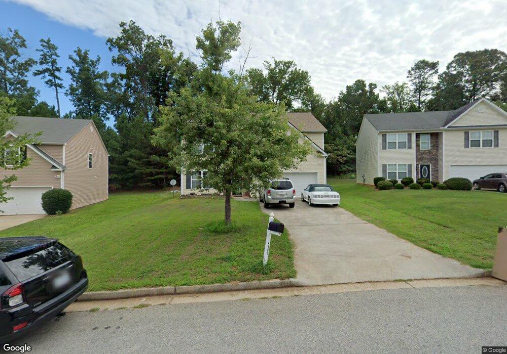
4885 Wexford Trail Atlanta, GA 30349
Estimated Value: $270,000 - $327,000
4
Beds
3
Baths
2,411
Sq Ft
$125/Sq Ft
Est. Value
About This Home
This home is located at 4885 Wexford Trail, Atlanta, GA 30349 and is currently estimated at $302,354, approximately $125 per square foot. 4885 Wexford Trail is a home located in Fulton County with nearby schools including Liberty Point Elementary School, Camp Creek Middle School, and Langston Hughes High School.
Ownership History
Date
Name
Owned For
Owner Type
Purchase Details
Closed on
Apr 11, 2022
Sold by
Nerette Licorish Vicky
Bought by
Licorish Dean F
Current Estimated Value
Create a Home Valuation Report for This Property
The Home Valuation Report is an in-depth analysis detailing your home's value as well as a comparison with similar homes in the area
Home Values in the Area
Average Home Value in this Area
Purchase History
| Date | Buyer | Sale Price | Title Company |
|---|---|---|---|
| Licorish Dean F | -- | -- |
Source: Public Records
Tax History Compared to Growth
Tax History
| Year | Tax Paid | Tax Assessment Tax Assessment Total Assessment is a certain percentage of the fair market value that is determined by local assessors to be the total taxable value of land and additions on the property. | Land | Improvement |
|---|---|---|---|---|
| 2025 | $1 | $122,160 | $34,680 | $87,480 |
| 2023 | $3,448 | $122,160 | $34,680 | $87,480 |
| 2022 | $2,667 | $94,480 | $20,440 | $74,040 |
| 2021 | $0 | $77,600 | $16,440 | $61,160 |
| 2020 | $2,990 | $73,480 | $15,960 | $57,520 |
| 2019 | $2,355 | $59,640 | $9,720 | $49,920 |
| 2018 | $2,318 | $58,240 | $9,480 | $48,760 |
| 2017 | $1,511 | $37,080 | $3,920 | $33,160 |
| 2016 | $1,511 | $37,080 | $3,920 | $33,160 |
| 2015 | $1,516 | $37,080 | $3,920 | $33,160 |
| 2014 | $1,299 | $30,120 | $5,240 | $24,880 |
Source: Public Records
Map
Nearby Homes
- 4861 Wexford Trail
- 4830 Station Ln
- 4832 Station Ln Unit 12
- 4834 Station Ln
- 4834 Station Ln Unit 13
- 4836 Station Ln Unit 14
- 4838 Station Ln Unit 15
- 4838 Station Ln
- 5565 Mason Rd Unit REAR
- 4840 Station Ln
- 4822 Station Ln
- 4817 Station Ln Unit 32
- 4818 Station Ln
- 4814 Station Ln
- 4813 Station Ln
- 310 Wolf Downs Way
- 4811 Station Ln
- 5435 Forest Downs Cir
- Cecil Plan at The Enclave at Stonewall Station
- Nelson Plan at The Enclave at Stonewall Station
- 4891 Wexford Trail
- 4891 Wexford Trail
- 4879 Wexford Trail
- 4873 Wexford Trail
- 4897 Wexford Trail
- 4867 Wexford Trail
- 4892 Wexford Trail
- 4874 Wexford Trail
- 4903 Wexford Trail
- 5425 Mason Rd
- 4898 Wexford Trail
- 4856 Wexford Trail
- 4909 Wexford Trail
- 5444 Sierra Trail
- 5448 Sierra Trail
- 5448 Sierra Trail Unit 5448
- 4830 Station Ln Unit 11
- 4855 Wexford Trail
- 4910 Wexford Trail
- 5452 Sierra Trail