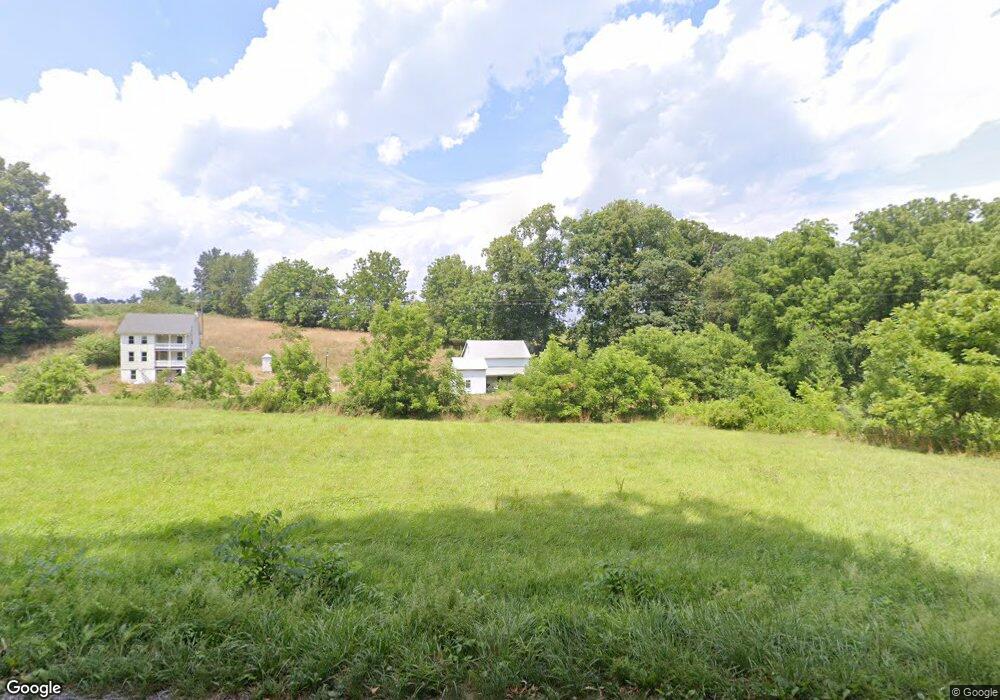
4889 Dairy Rd Red Lion, PA 17356
Estimated Value: $237,000 - $356,000
3
Beds
1
Bath
1,064
Sq Ft
$266/Sq Ft
Est. Value
About This Home
This home is located at 4889 Dairy Rd, Red Lion, PA 17356 and is currently estimated at $283,078, approximately $266 per square foot. 4889 Dairy Rd is a home located in York County with nearby schools including North Hopewell-Winterstown Elementary School, Red Lion Area Junior High School, and Red Lion Area Senior High School.
Ownership History
Date
Name
Owned For
Owner Type
Purchase Details
Closed on
Feb 14, 2016
Sold by
Flinchbaugh Dale E
Bought by
Flinchbaugh Nicholas F
Current Estimated Value
Purchase Details
Closed on
Nov 3, 1998
Sold by
Flinchbaugh Mabel R and Flinchbaugh Mable R
Bought by
Flinchbaugh Dale E and Flinchbaugh Judith A
Home Financials for this Owner
Home Financials are based on the most recent Mortgage that was taken out on this home.
Original Mortgage
$72,000
Interest Rate
6.64%
Mortgage Type
Seller Take Back
Create a Home Valuation Report for This Property
The Home Valuation Report is an in-depth analysis detailing your home's value as well as a comparison with similar homes in the area
Home Values in the Area
Average Home Value in this Area
Purchase History
| Date | Buyer | Sale Price | Title Company |
|---|---|---|---|
| Flinchbaugh Nicholas F | -- | None Available | |
| Flinchbaugh Dale E | -- | -- |
Source: Public Records
Mortgage History
| Date | Status | Borrower | Loan Amount |
|---|---|---|---|
| Closed | Flinchbaugh Dale E | $72,000 |
Source: Public Records
Tax History Compared to Growth
Tax History
| Year | Tax Paid | Tax Assessment Tax Assessment Total Assessment is a certain percentage of the fair market value that is determined by local assessors to be the total taxable value of land and additions on the property. | Land | Improvement |
|---|---|---|---|---|
| 2025 | $3,858 | $122,450 | $62,240 | $60,210 |
| 2024 | $3,738 | $122,450 | $62,240 | $60,210 |
| 2023 | $3,738 | $122,450 | $62,240 | $60,210 |
| 2022 | $3,738 | $122,450 | $62,240 | $60,210 |
| 2021 | $3,616 | $122,450 | $62,240 | $60,210 |
| 2020 | $3,616 | $122,450 | $62,240 | $60,210 |
| 2019 | $3,603 | $122,450 | $62,240 | $60,210 |
| 2018 | $3,603 | $122,450 | $62,240 | $60,210 |
| 2017 | $3,603 | $122,450 | $62,240 | $60,210 |
| 2016 | $0 | $122,450 | $62,240 | $60,210 |
| 2015 | -- | $122,450 | $62,240 | $60,210 |
| 2014 | -- | $122,450 | $62,240 | $60,210 |
Source: Public Records
Map
Nearby Homes
- 9353 Camp Rd
- 0 Oak Ridge Ave
- 0 Woodland Dr Unit PAYK2084294
- 305 Husson Rd
- 661 S Duke St
- 600 S Duke St
- 3456 Seaks Run Rd
- 12109 Woodland Dr
- 786 Arbor Dr
- 420 Greenway Dr
- 12706 High Point Rd
- 0 Seitz Rd
- 460 Highland Rd
- 12568 Mount Olivet Rd
- 131 Country Club Rd
- 211 Country Ridge Dr
- 738 Wise Ave
- 110 High St
- 168 Country Ridge Dr
- 156 Country Ridge Dr
- 4745 Dairy Rd
- 4985 Dairy Rd
- 4944 Dairy Rd
- 4874 Dairy Rd
- 5025 Dairy Rd
- LOT 6 & 7 Dairy Rd
- 5066 Dairy Rd
- 5066 Dairy Rd Unit 3
- 5150 Dairy Rd
- 4687 Deer Rd
- 5186 Dairy Rd
- 4654 Dairy Rd
- 4620 Dairy Rd
- 5212 Dairy Rd
- 4590 Dairy Rd
- 5668 Rippling Run Rd
- 5274 Pleasant View Rd
- 4815 Pleasant View Rd
- 11021 Winterstown Rd
- 10796 Winterstown Rd